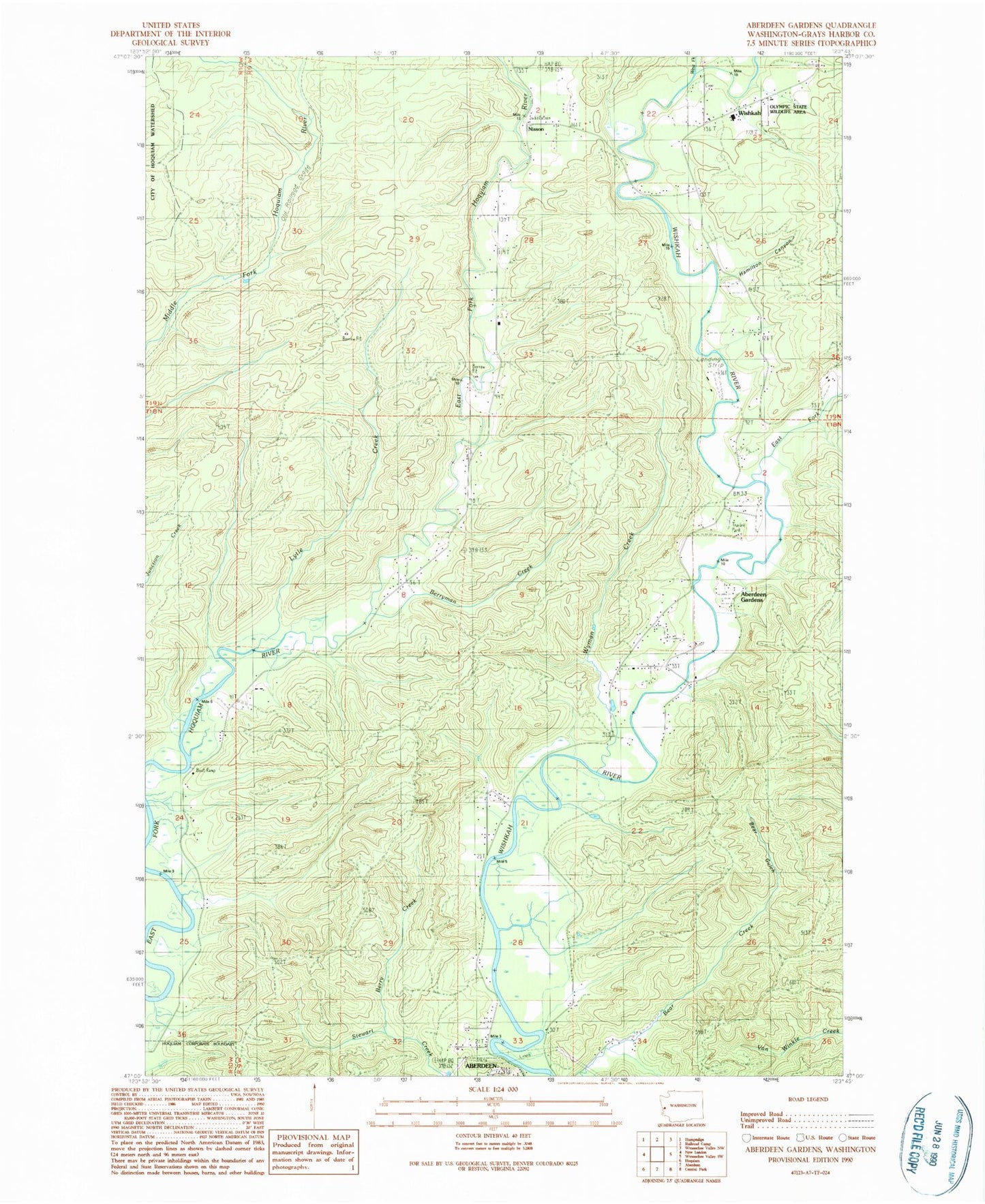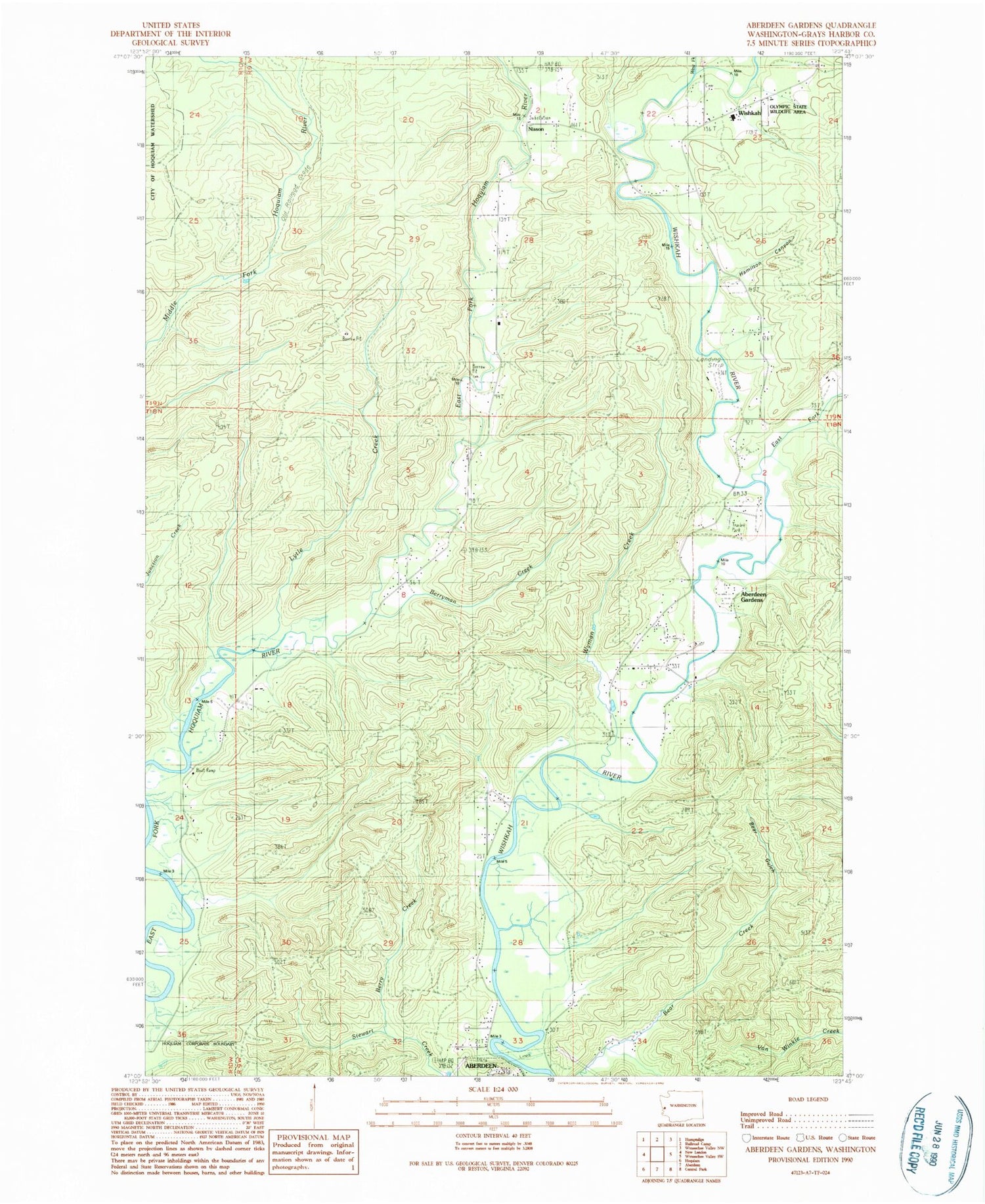
MyTopo
Classic USGS Aberdeen Gardens Washington 7.5'x7.5' Topo Map
Couldn't load pickup availability
Historical USGS topographic quad map of Aberdeen Gardens in the state of Washington. Map scale may vary for some years, but is generally around 1:24,000. Print size is approximately 24" x 27"
This quadrangle is in the following counties: Grays Harbor.
The map contains contour lines, roads, rivers, towns, and lakes. Printed on high-quality waterproof paper with UV fade-resistant inks, and shipped rolled.
Contains the following named places: Aberdeen Gardens, Aberdeen Gardens Census Designated Place, Bear Gulch, Berry Creek, Berryman Creek, East Fork Wishkah River, Grays Harbor Fire District 10 Station 3 Aberdeen Gardens, Grays Harbor Fire District 10 Wishkah Fire Department Station 1, Grays Harbor Fire District 10 Wishkah Fire Department Station 2, Hamilton Canyon, Lytle Creek, Lytle Landing, Nisson, West Fork Wishkah River, Wishkah, Wishkah Pipeline, Wishkah River Ranch Airport, Wishkah Valley Elementary - High School, Wyman Creek