MyTopo
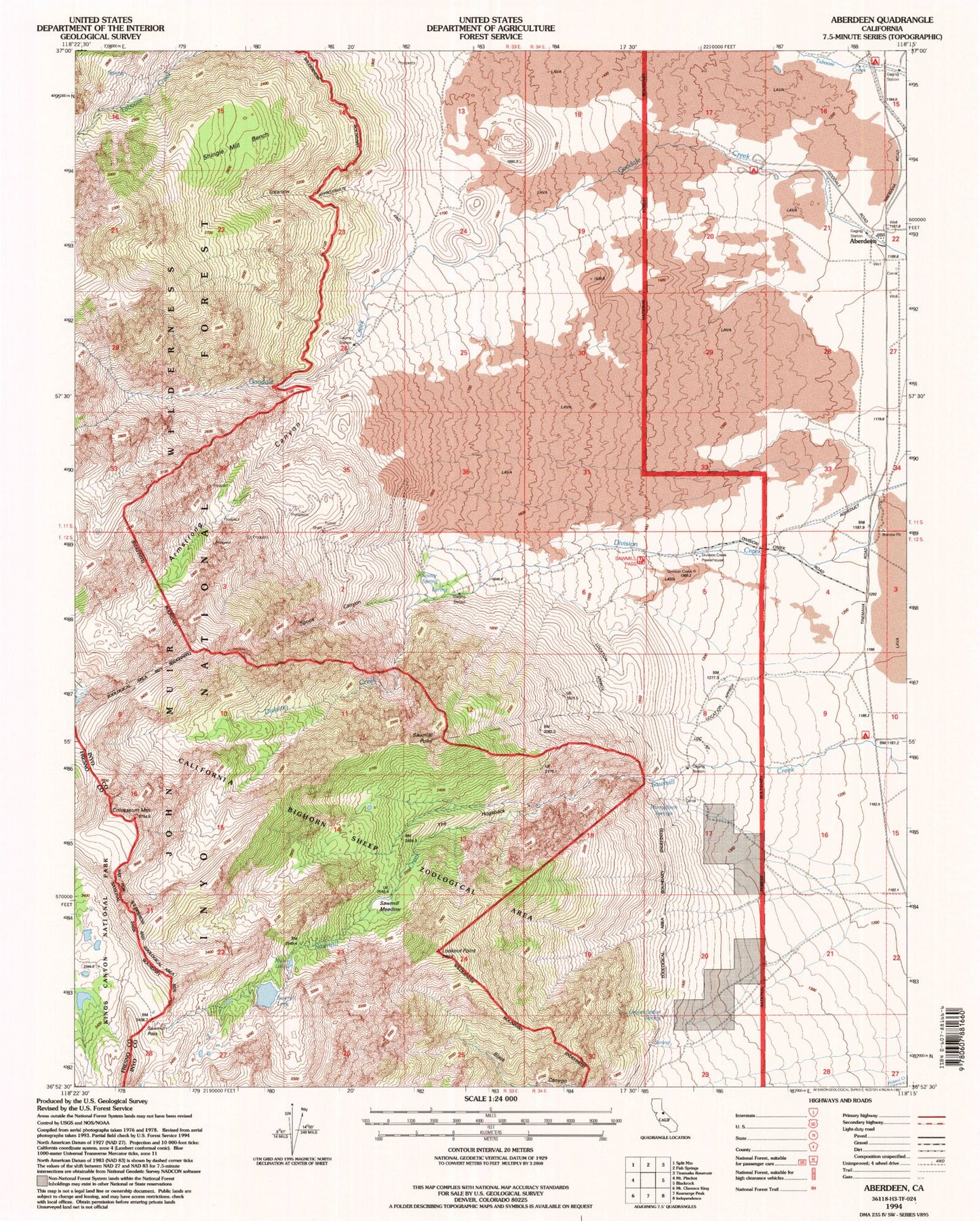
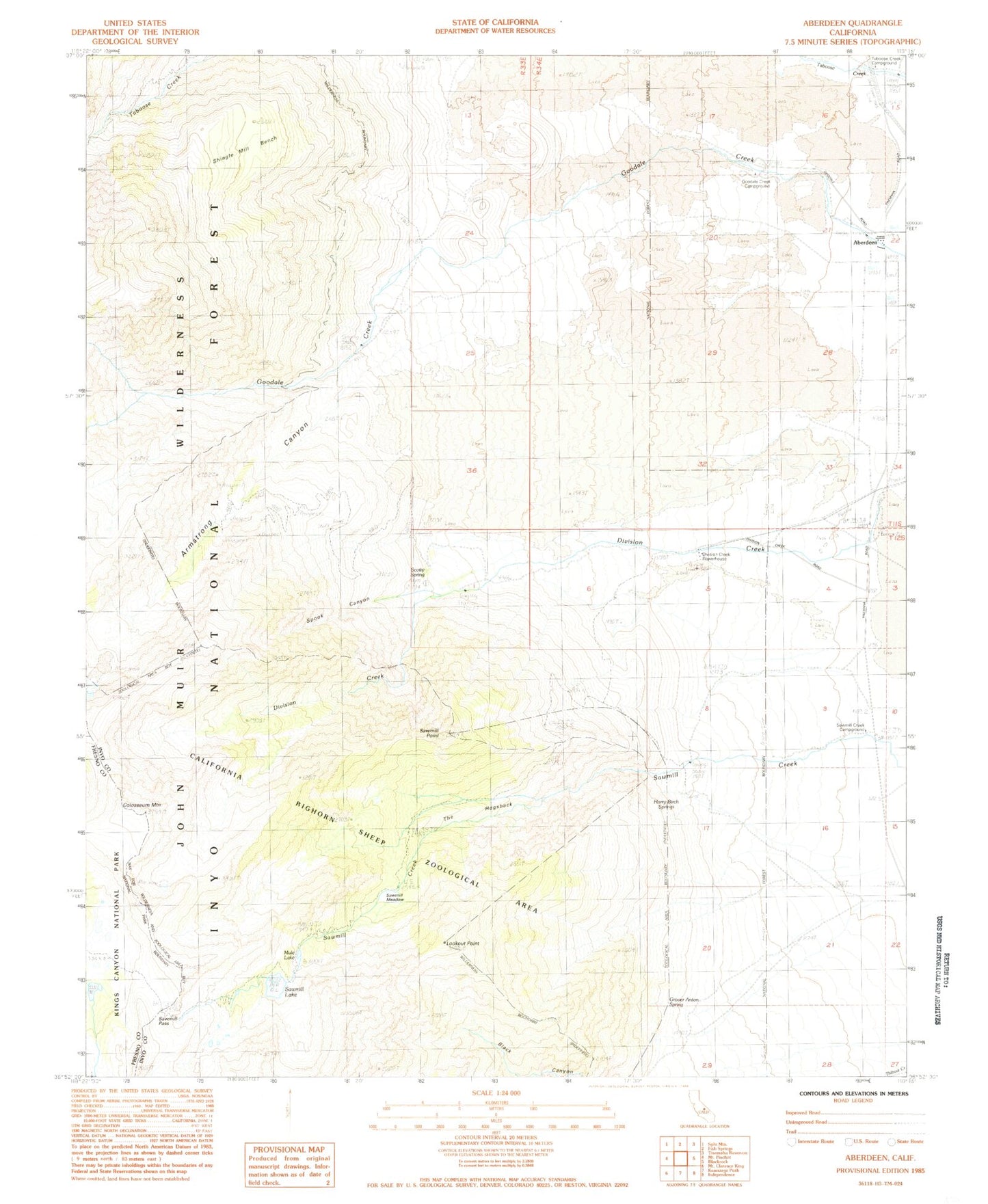
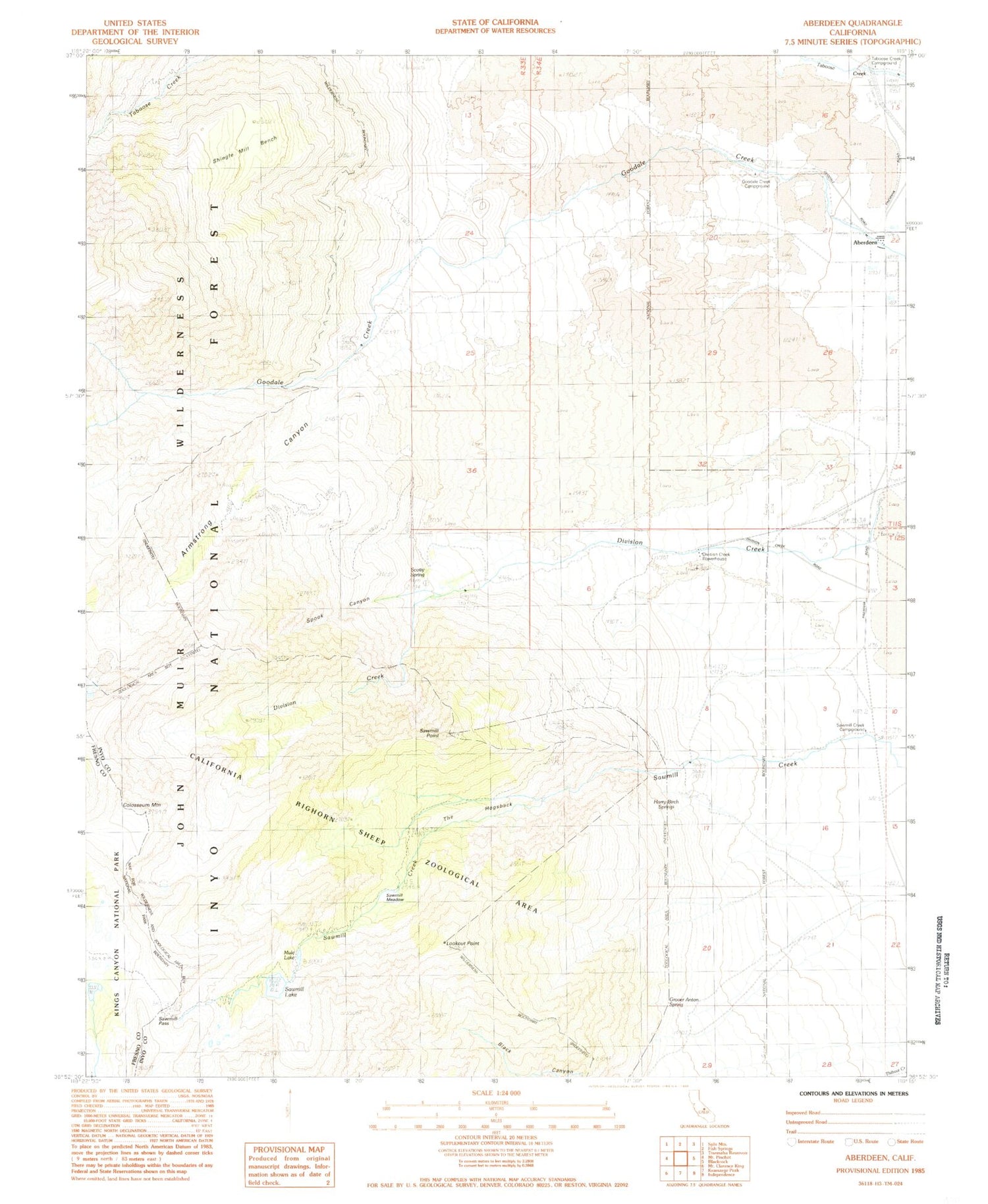
Classic USGS Aberdeen California 7.5'x7.5' Topo Map
Couldn't load pickup availability
Historical USGS topographic quad map of Aberdeen in the state of California. Typical map scale is 1:24,000, but may vary for certain years, if available. Print size: 24" x 27"
This quadrangle is in the following counties: Fresno, Inyo.
The map contains contour lines, roads, rivers, towns, and lakes. Printed on high-quality waterproof paper with UV fade-resistant inks, and shipped rolled.
Contains the following named places: Aberdeen, Armstrong Canyon, Colosseum Mountain, Division Creek, Eightmile Ranch, Firecracker Mine, Glacier Mines, Grover Anton Spring, Harry Birch Springs, Lookout Point, Mule Lake, Pinnacle Mine, Rudy Mine, Sawmill Lake, Sawmill Meadows, Sawmill Pass, Sawmill Point, Scotty Spring, Shingle Mill Bench, Sierra View Mine, Spook Canyon, The Hogsback, Valley View Mine, Goodale Creek Campground, Taboose Creek Campground, Division Creek Powerhouse, Sawmill Creek Campground, Sawmill Pass Trailhead