MyTopo
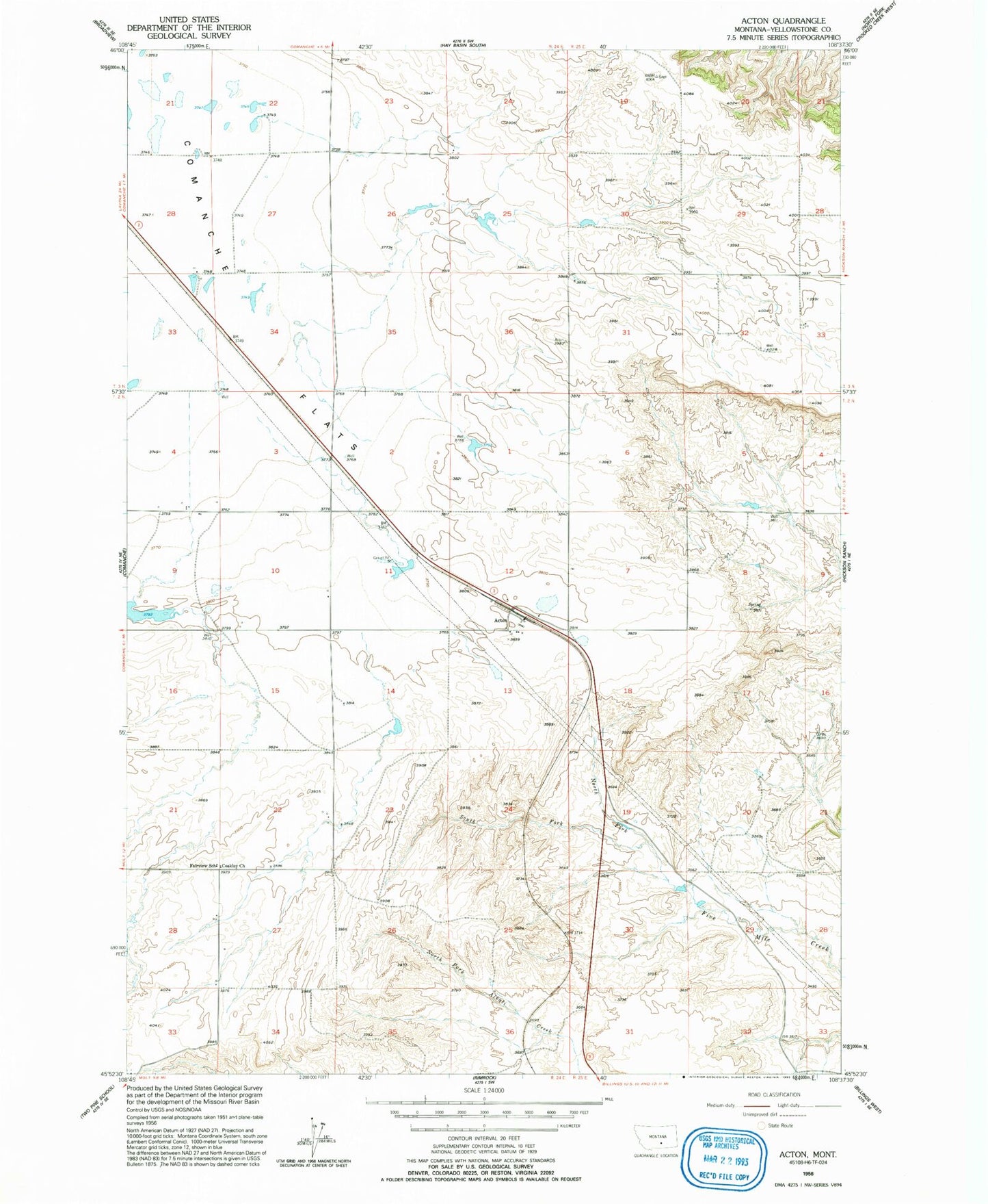
Classic USGS Acton Montana 7.5'x7.5' Topo Map
Couldn't load pickup availability
Historical USGS topographic quad map of Acton in the state of Montana. Map scale may vary for some years, but is generally around 1:24,000. Print size is approximately 24" x 27"
This quadrangle is in the following counties: Yellowstone.
The map contains contour lines, roads, rivers, towns, and lakes. Printed on high-quality waterproof paper with UV fade-resistant inks, and shipped rolled.
Contains the following named places: 02N24E12A___01 Well, 02N24E13A___01 Well, 02N24E22B___01 Well, 02N25E18B___01 Well, 02N25E19B___01 Well, 02N25E20CCDA01 Well, 02N25E20D___01 Well, 03N24E26B___01 Well, Acton, Acton Census Designated Place, Coakley Church, Fairview, North Fork Fivemile Creek, Northwest Yellowstone Division, South Fork Fivemile Creek