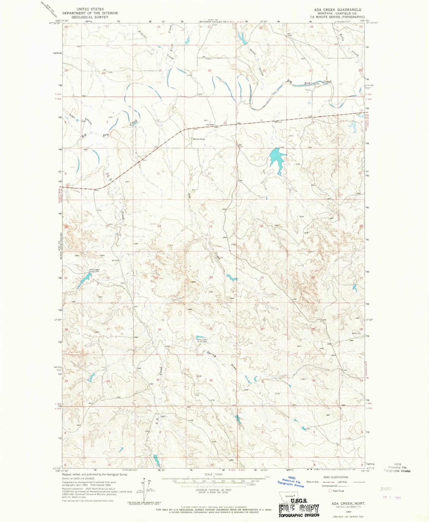
MyTopo
Classic USGS Ada Creek Montana 7.5'x7.5' Topo Map
Couldn't load pickup availability
Historical USGS topographic quad map of Ada Creek in the state of Montana. Map scale may vary for some years, but is generally around 1:24,000. Print size is approximately 24" x 27"
This quadrangle is in the following counties: Garfield.
The map contains contour lines, roads, rivers, towns, and lakes. Printed on high-quality waterproof paper with UV fade-resistant inks, and shipped rolled.
Contains the following named places: 17N41E06A___01 Well, 18N40E01B___01 Well, 18N40E01C___01 Well, 18N40E01C___02 Well, 18N40E01DBBB01 Well, 18N40E02B___01 Well, 18N41E29D___01 Well, 18N41E33C___01 Well, 19N41E31C___01 Well, 19N41E32C___01 Well, Ada Creek, Allen Coulee, Dry Lake Dam, First Creek, Frazier Creek, Jim J Murion Number 1 Dam, Jim J Murion Number 2 Dam, Karen Number 2 Dam, Karen Number 3 Dam, Kelly Creek, Keplerville, Keplerville Post Office, Keplerville School, L S Creek, Mahoney Ranch, Murnions Dam, Murnions Reservoir, Sonny Coulee, Sonny Number 1 Dam, Spring Draw, Viall School, Yellow Horse Dam