MyTopo
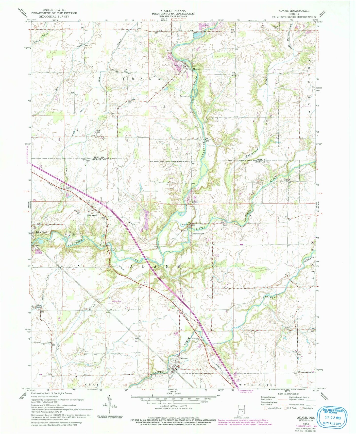
Classic USGS Adams Indiana 7.5'x7.5' Topo Map
Couldn't load pickup availability
Historical USGS topographic quad map of Adams in the state of Indiana. Map scale may vary for some years, but is generally around 1:24,000. Print size is approximately 24" x 27"
This quadrangle is in the following counties: Decatur, Rush.
The map contains contour lines, roads, rivers, towns, and lakes. Printed on high-quality waterproof paper with UV fade-resistant inks, and shipped rolled.
Contains the following named places: Adams, Adams Fire Department, Adams Township Volunteer Fire Department, Apple Ditch, Arnold Cemetery, Downeyville, Hebron Cemetery, Hurricane Creek, Little Flatrock River, Little Hurricane Creek, Mill Creek, Moscow, Mount Hebron Cemetery, Mount Morrison Cemetery, Saint Omer, Saint Omer Cemetery, Shiloh Cemetery, Star Baptist Cemetery, Star Church, Township of Adams, Township of Orange, Union Cemetery, Union Chapel, Union Chapel Cemetery, ZIP Code: 47272