
MyTopo
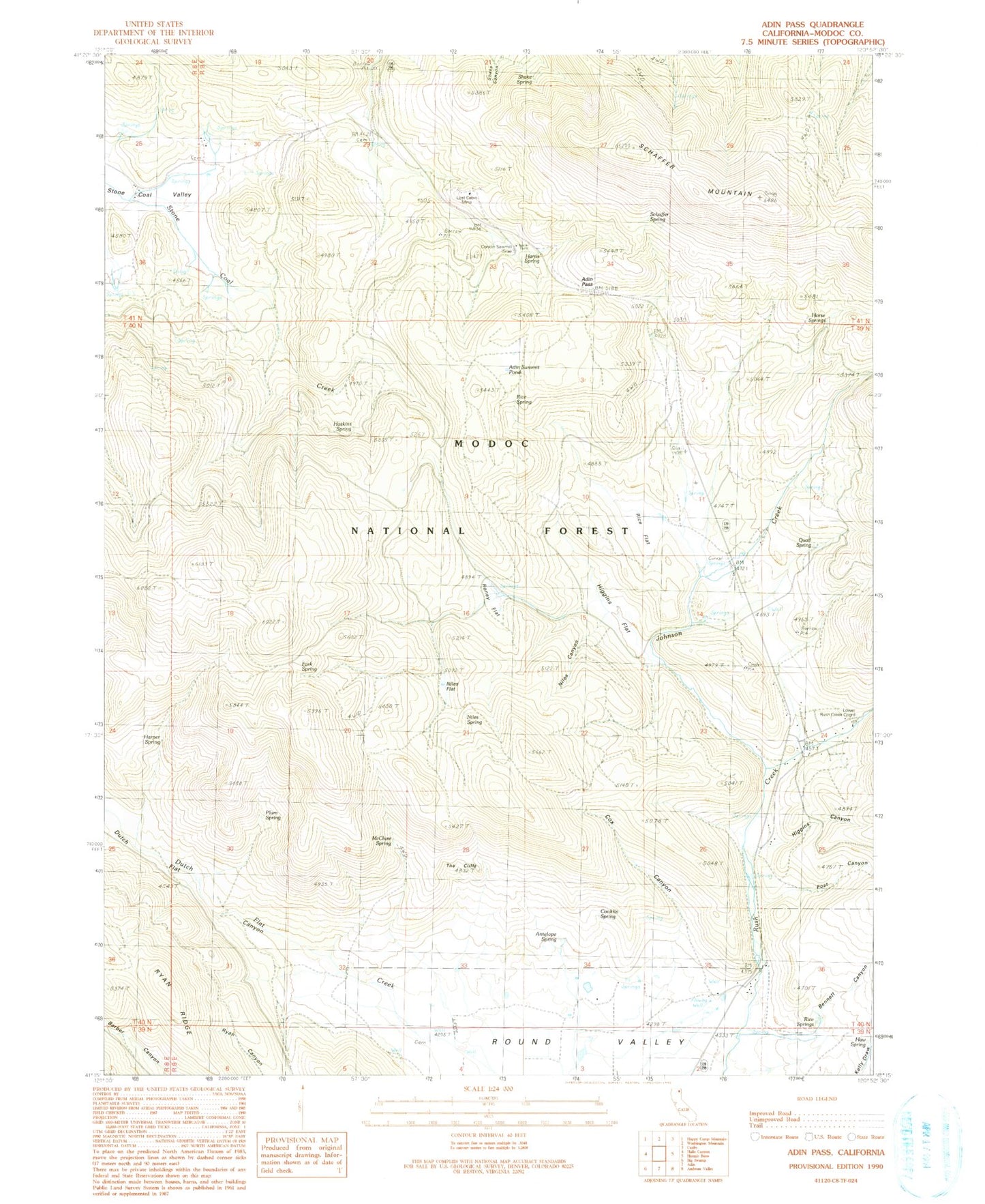
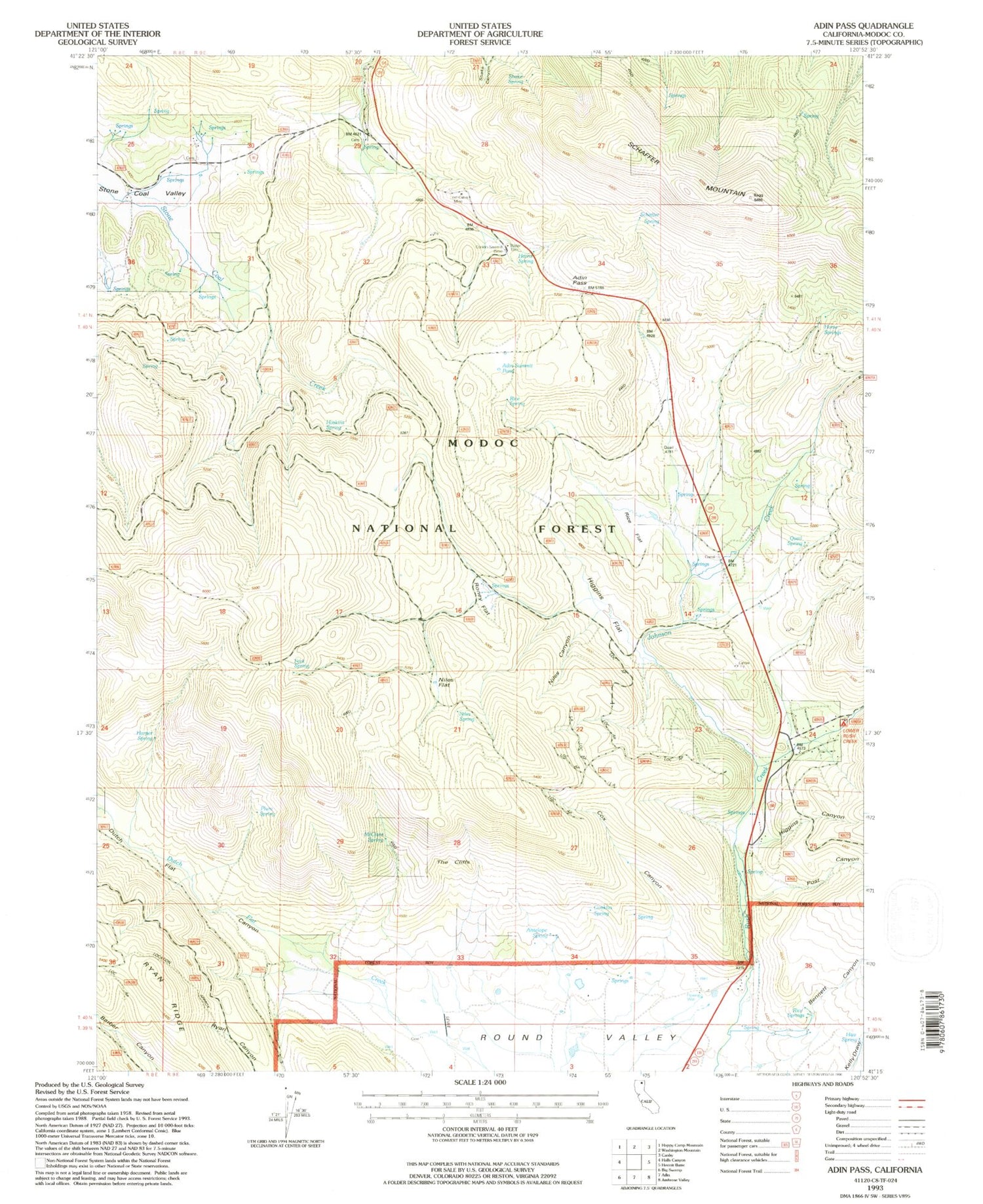
Classic USGS Adin Pass California 7.5'x7.5' Topo Map
Couldn't load pickup availability
Historical USGS topographic quad map of Adin Pass in the state of California. Map scale may vary for some years, but is generally around 1:24,000. Print size is approximately 24" x 27"
This quadrangle is in the following counties: Modoc.
The map contains contour lines, roads, rivers, towns, and lakes. Printed on high-quality waterproof paper with UV fade-resistant inks, and shipped rolled.
Contains the following named places: Adin Pass, Adin Summit Pond, Antelope Spring, Bennett Canyon, Conklin Sawmill, Conklin Spring, Cox Canyon, Dutch Flat Canyon, Fork Spring, Harper Spring, Harris Spring, Haw Spring, Higgins Canyon, Higgins Flat, Horse Springs, Hoskins Spring, Johnson Creek, Lost Cabin Mine, Lower Rush Creek Campground, McClure Spring, Niles Canyon, Niles Flat, Niles Spring, Plum Spring, Post Canyon, Quail Spring, Rice Flat, Rice Spring, Rice Springs, Roney Flat, Round Valley, Schaffer Mountain, Schaffer Spring, Shake Spring, The Cliffs