MyTopo
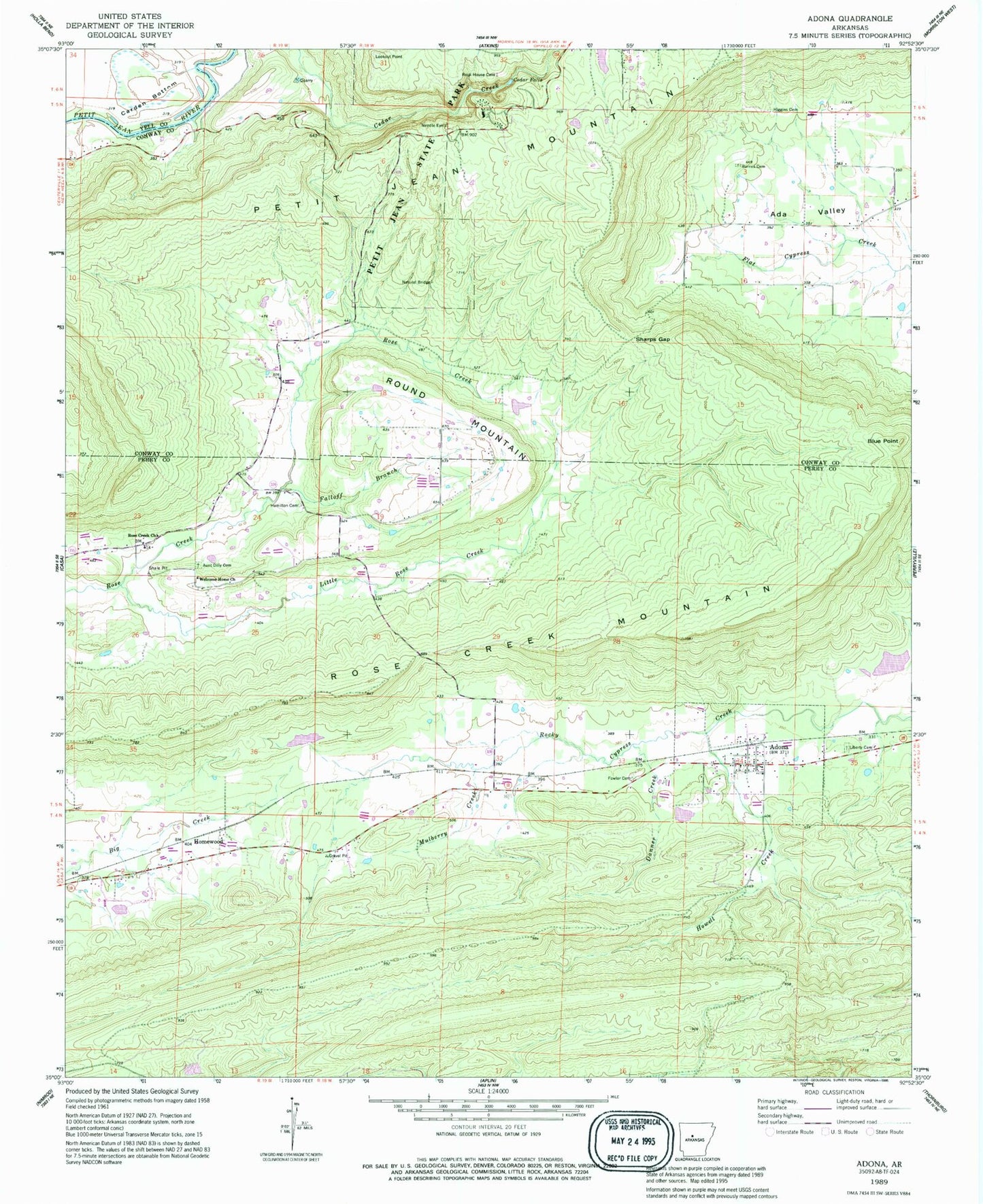
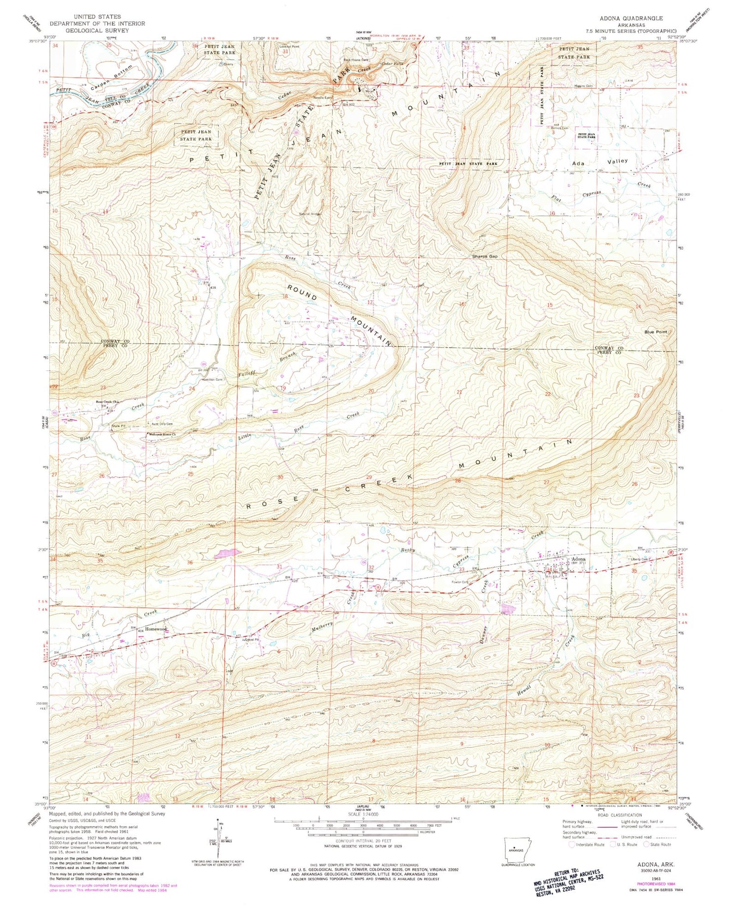
Classic USGS Adona Arkansas 7.5'x7.5' Topo Map
Couldn't load pickup availability
Historical USGS topographic quad map of Adona in the state of Arkansas. Typical map scale is 1:24,000, but may vary for certain years, if available. Print size: 24" x 27"
This quadrangle is in the following counties: Conway, Perry, Yell.
The map contains contour lines, roads, rivers, towns, and lakes. Printed on high-quality waterproof paper with UV fade-resistant inks, and shipped rolled.
Contains the following named places: Adona, Aunt Dilly Cemetery, Barnes Cemetery, Blue Point, Cedar Falls, Danner Creek, Falloff Branch, Fowler Cemetery, Hamilton Cemetery, Higgins Cemetery, Howell Creek, Liberty Cemetery, Little Rose Creek, Mulberry Creek, Petit Jean State Park, Rose Creek Church, Rose Creek Mountain, Sharps Gap, Welcome Home Church, Homewood, Round Mountain, Hamiltons Store (historical), Township of Mountain (historical), Mulberry Church (historical), Divide (historical), West (historical), Township of Higgins, Township of White Eagle, Township of Petit Jean, Township of Rose Creek, Half Moon Lake Ford, Petit Jean State Park Lake, Clear Water Lake Dam, Clear Water Lake, Willenberg Lake Dam, Willenberg Lake, Adona Volunteer Fire Department, City of Adona, Petit Jean Natural Bridge, Rose Creek, Adona Post Office