MyTopo
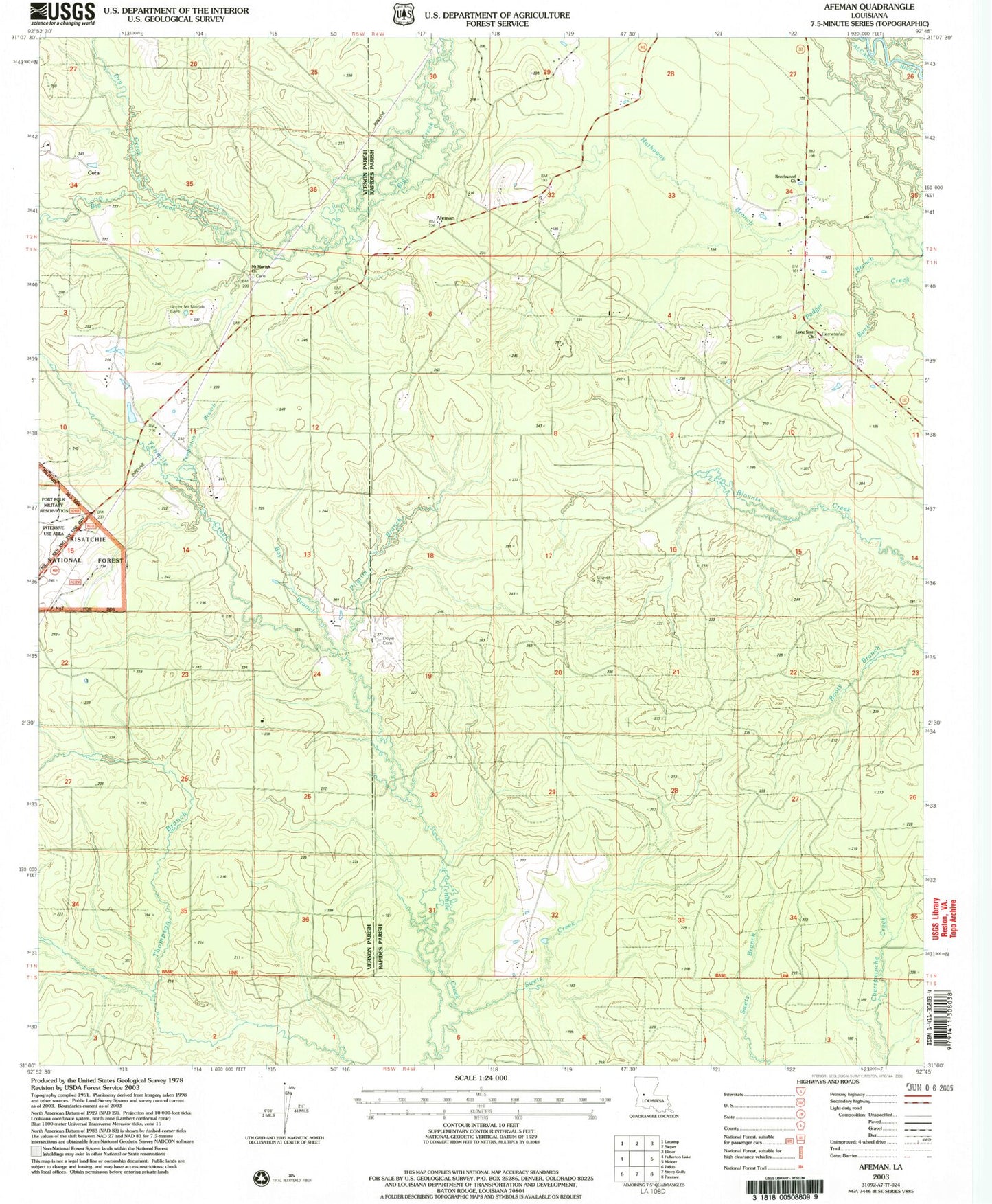
Classic USGS Afeman Louisiana 7.5'x7.5' Topo Map
Couldn't load pickup availability
Historical USGS topographic quad map of Afeman in the state of Louisiana. Map scale may vary for some years, but is generally around 1:24,000. Print size is approximately 24" x 27"
This quadrangle is in the following counties: Rapides, Vernon.
The map contains contour lines, roads, rivers, towns, and lakes. Printed on high-quality waterproof paper with UV fade-resistant inks, and shipped rolled.
Contains the following named places: Afeman, Bay Branch, Beechwood Church, Calcasieu Ward Six, Center Hammock School, Cora, Doyle Cemetery, Dry Creek, Hathaway Branch, Lone Star Cemetery, Lone Star Church, Mill Creek, Mount Moriah Cemetery, Mount Moriah Church, Oak Hill Volunteer Fire Department Station 4, Pilgrim Branch, Swetz Creek, Templeton Branch, Upper Mount Moriah Cemetery, ZIP Code: 71438