MyTopo
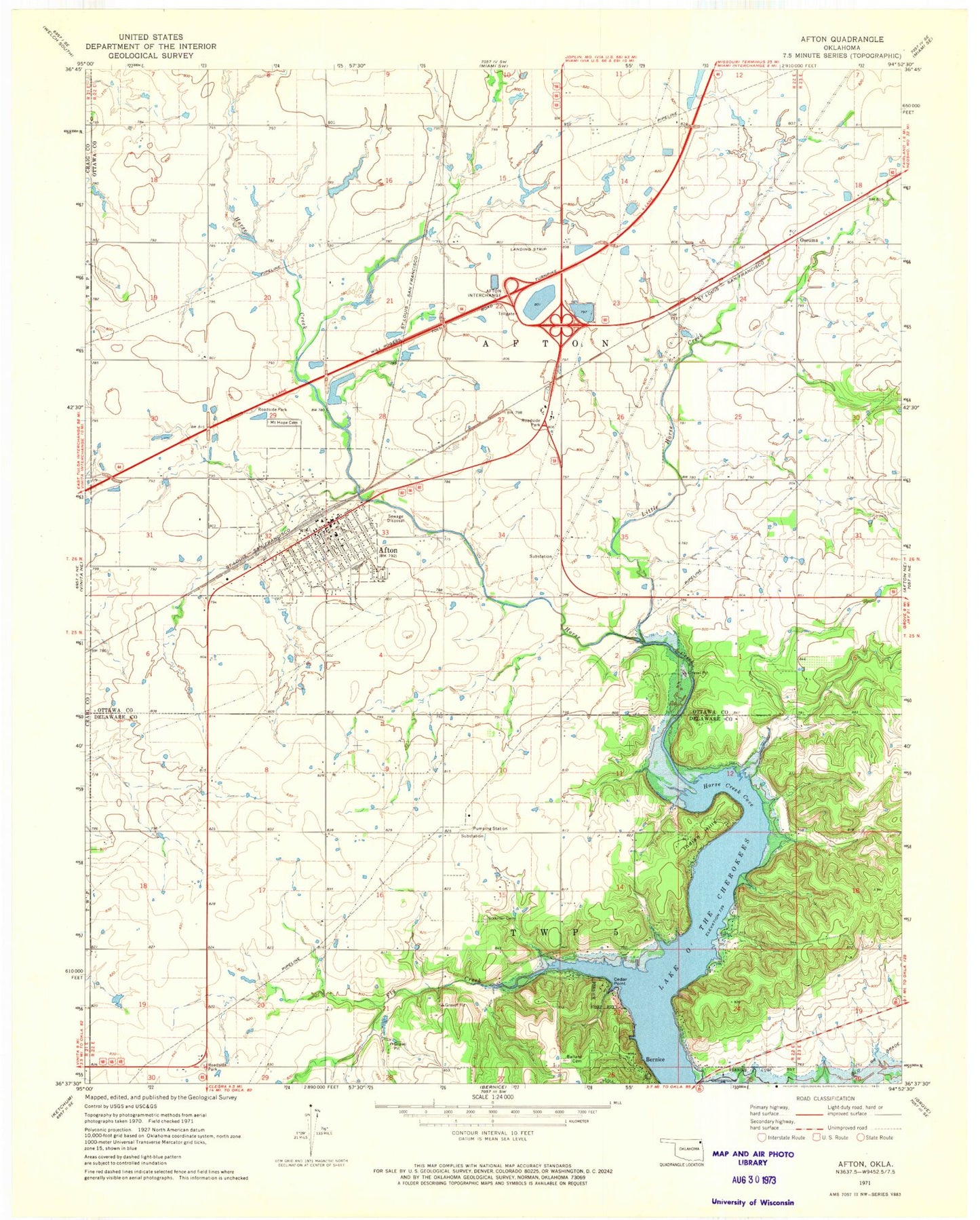
Classic USGS Afton Oklahoma 7.5'x7.5' Topo Map
Couldn't load pickup availability
Historical USGS topographic quad map of Afton in the state of Oklahoma. Map scale may vary for some years, but is generally around 1:24,000. Print size is approximately 24" x 27"
This quadrangle is in the following counties: Craig, Delaware, Ottawa.
The map contains contour lines, roads, rivers, towns, and lakes. Printed on high-quality waterproof paper with UV fade-resistant inks, and shipped rolled.
Contains the following named places: Afton, Afton Fire Department, Afton High School, Afton Middle School, Afton Post Office, Ballard Cemetery, Baptist First Church, Beachner Grain Elevator Number 2, Bernice State Park, Cedar Point, Fly Creek, Horse Creek, Horse Creek Cove, Indian Hills, Integrity Emergency Medical Services of Oklahoma, Little Horse Creek, Mount Hope Cemetery, Northeast Technology Center - Afton, Oseuma, Sixkiller Cemetery, Town of Afton, Township of Afton, Trinity Southern Baptist Church, ZIP Code: 74331