MyTopo
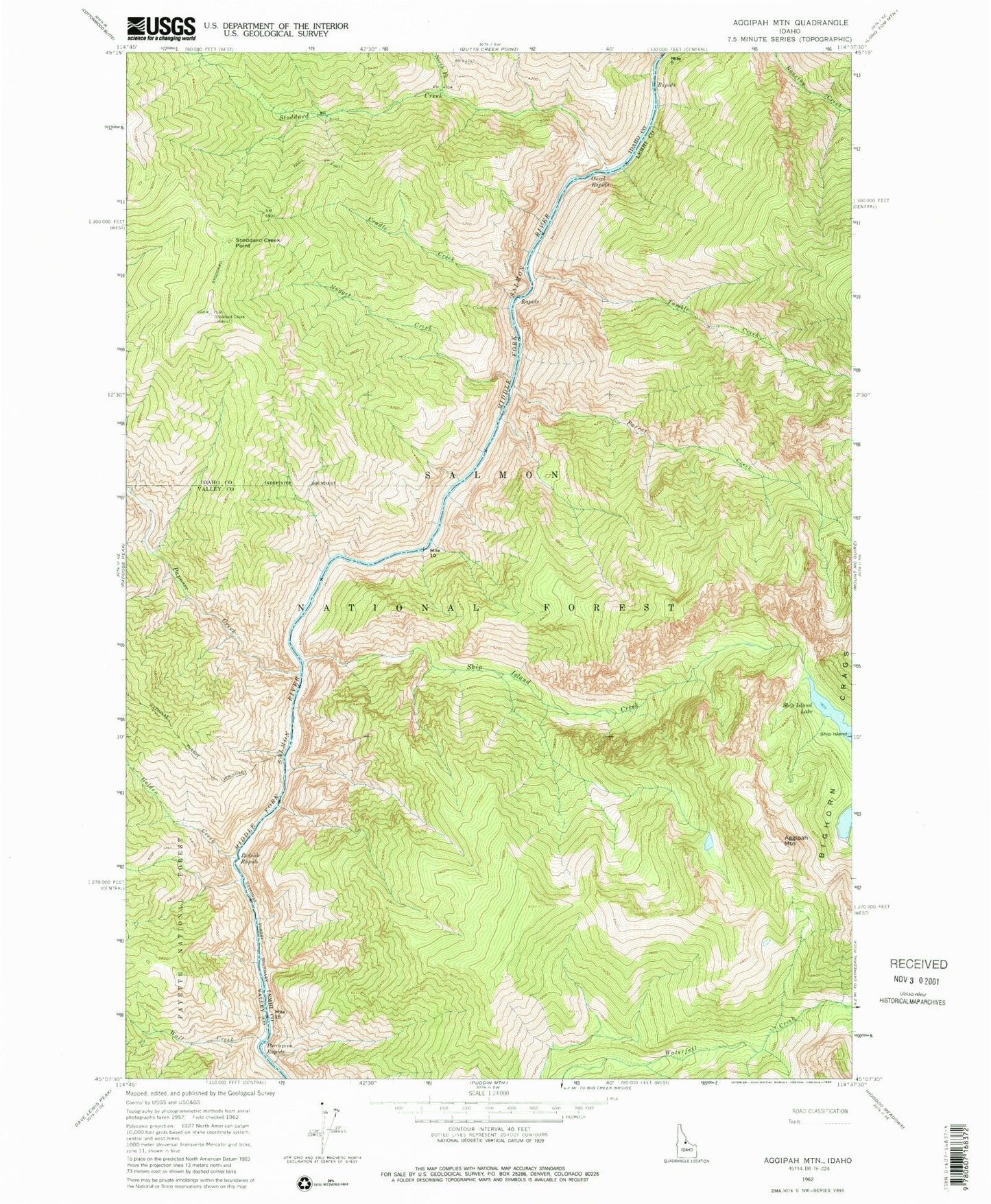
Classic USGS Aggipah Mountain Idaho 7.5'x7.5' Topo Map
Couldn't load pickup availability
Historical USGS topographic quad map of Aggipah Mountain in the state of Idaho. Typical map scale is 1:24,000, but may vary for certain years, if available. Print size: 24" x 27"
This quadrangle is in the following counties: Idaho, Lemhi, Valley.
The map contains contour lines, roads, rivers, towns, and lakes. Printed on high-quality waterproof paper with UV fade-resistant inks, and shipped rolled.
Contains the following named places: Aggipah Mountain, Cradle Creek, Golden Creek, North Fork Stoddard Creek, Nugget Creek, Ouzel Rapids, Papoose Creek, Parrott Creek, Porcupine Rapids, Redside Rapids, Reese Creek, Ship Island, Ship Island Creek, Ship Island Lake, Stoddard Creek, Stoddard Creek Lookout, Tumble Creek, Twin Creek, Wall Creek, Waterfall Trail, Cliffside Rapids, Lightning Strike Campground, Papoose Creek Campground, Parrott Placer Campground, Stoddard Creek Point