MyTopo
Classic USGS Agnos Arkansas 7.5'x7.5' Topo Map
Couldn't load pickup availability
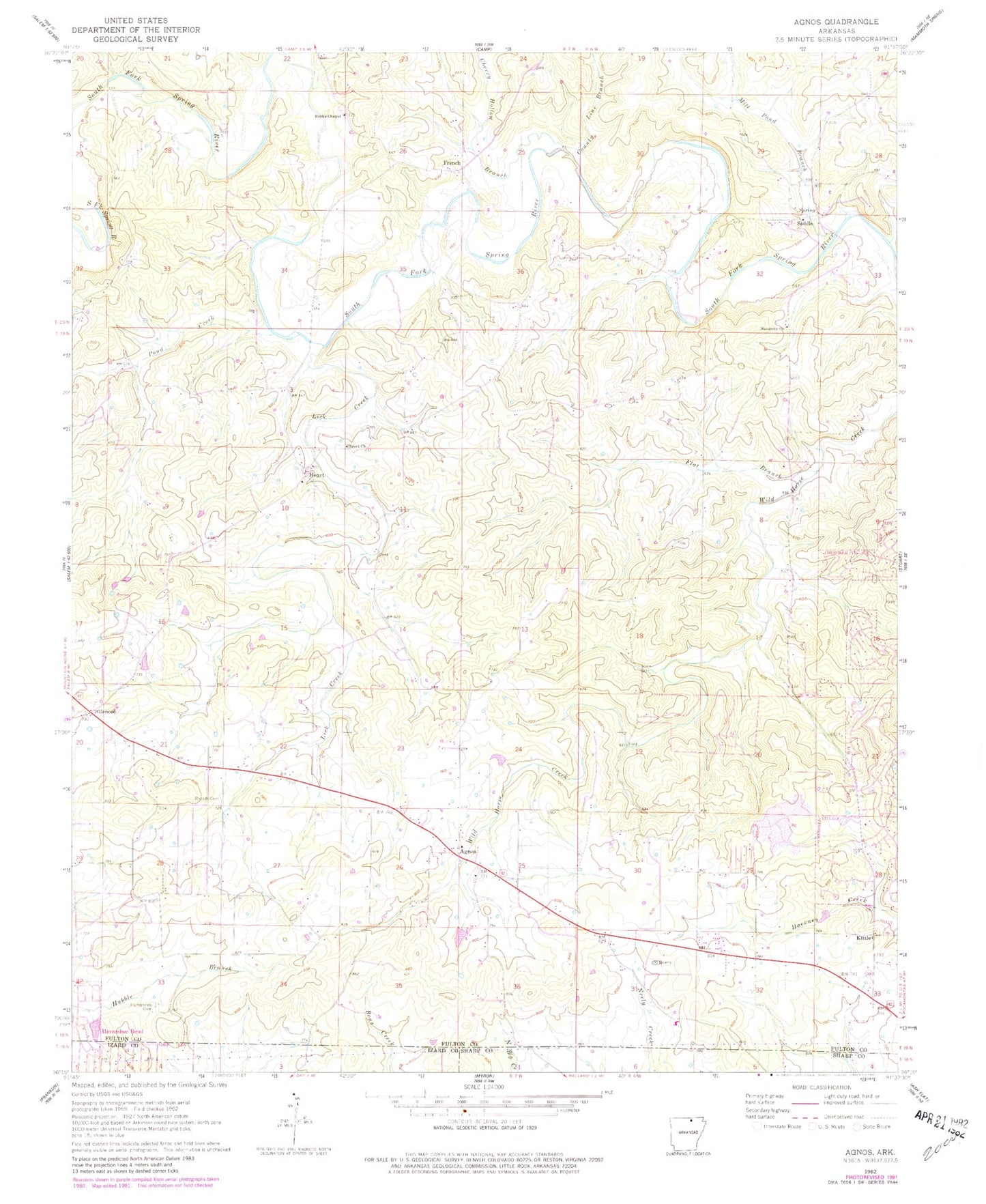
Historical USGS topographic quad map of Agnos in the state of Arkansas. Map scale may vary for some years, but is generally around 1:24,000. Print size is approximately 24" x 27"
This quadrangle is in the following counties: Fulton, Izard, Sharp.
The map contains contour lines, roads, rivers, towns, and lakes. Printed on high-quality waterproof paper with UV fade-resistant inks, and shipped rolled.
Contains the following named places: Agnos, Agnos - Heart - Glencoe Volunteer Fire Department, Burks Chapel, Cherokee Sanitary Landfill, Cherry Hollow Branch, County Line Branch, Flat Branch, French, Glencoe, Glencoe Post Office, Heart, Heart Church, Humphries Cemetery, KHAM-AM (Horseshoe Bend), Kittle, Lake Brown, Lake Brown Dam, Lick Creek, Mill Pond Branch, Nazarene Church, North Lake, North Lake Dam, Pond Creek, Rhoads Cemetery, Saddle, Saddle Baptist Church, Timber Lake, Timber Lake Dam, Township of Pleasant Ridge, ZIP Code: 72539