
MyTopo
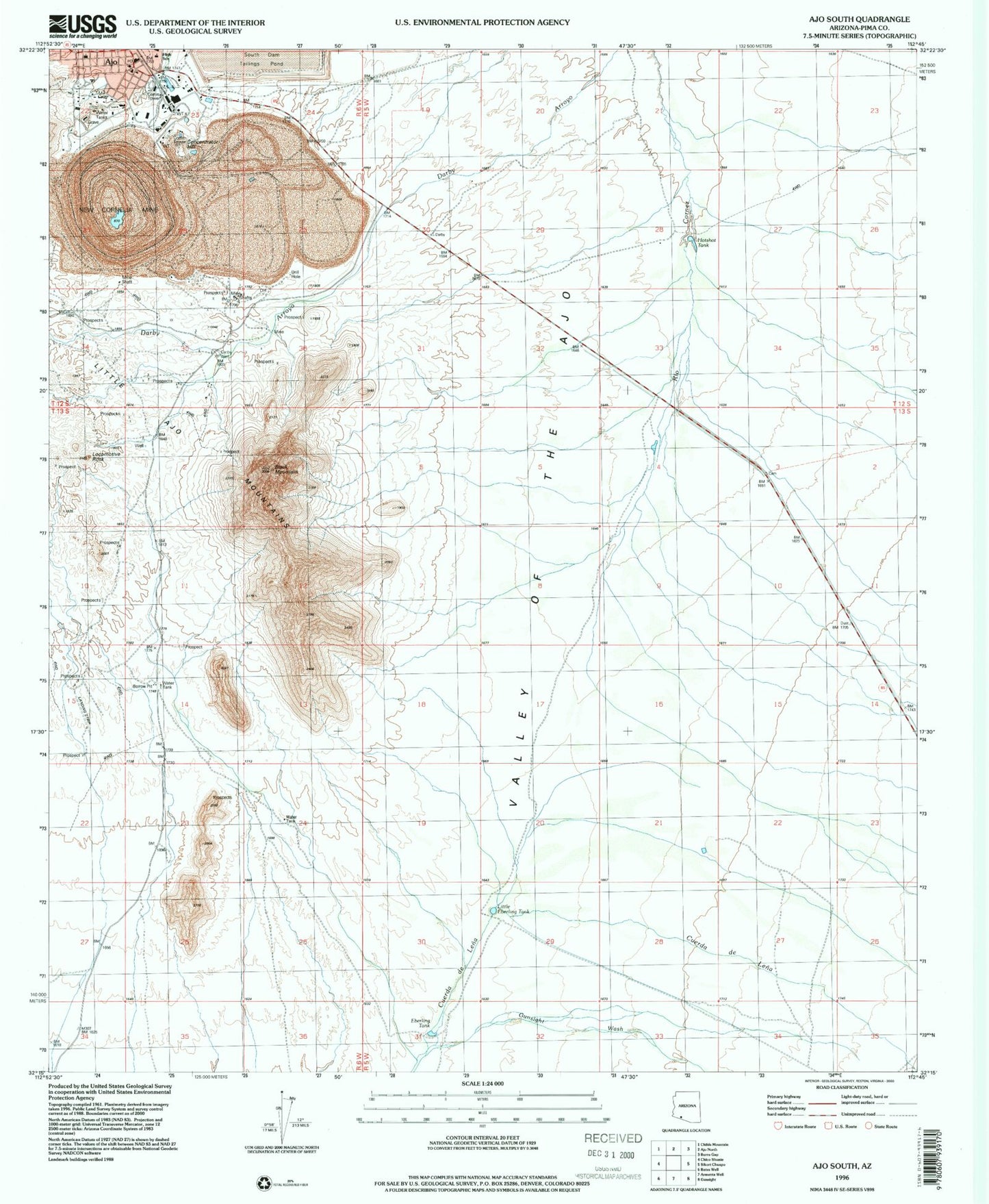
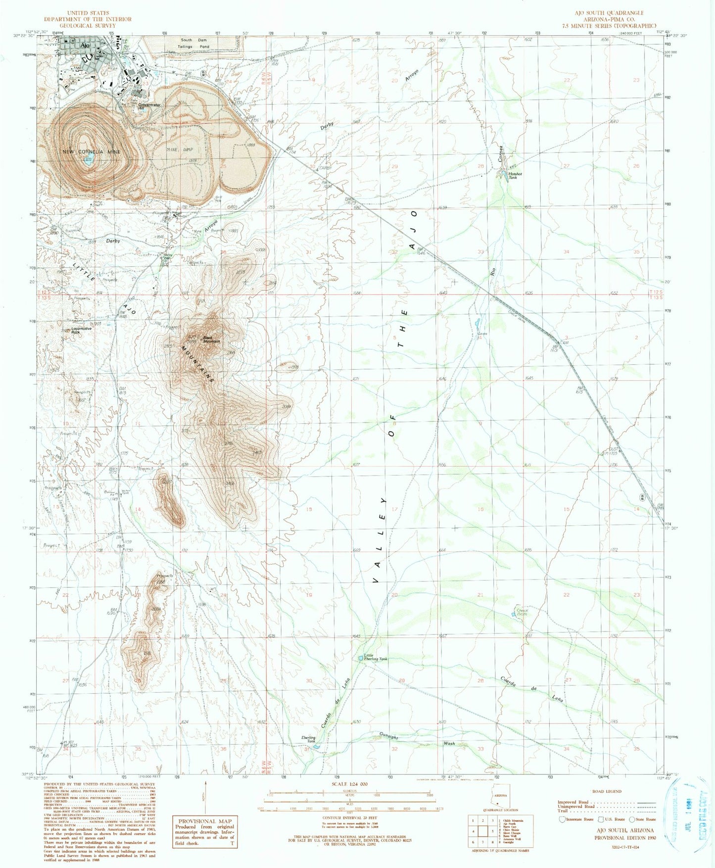
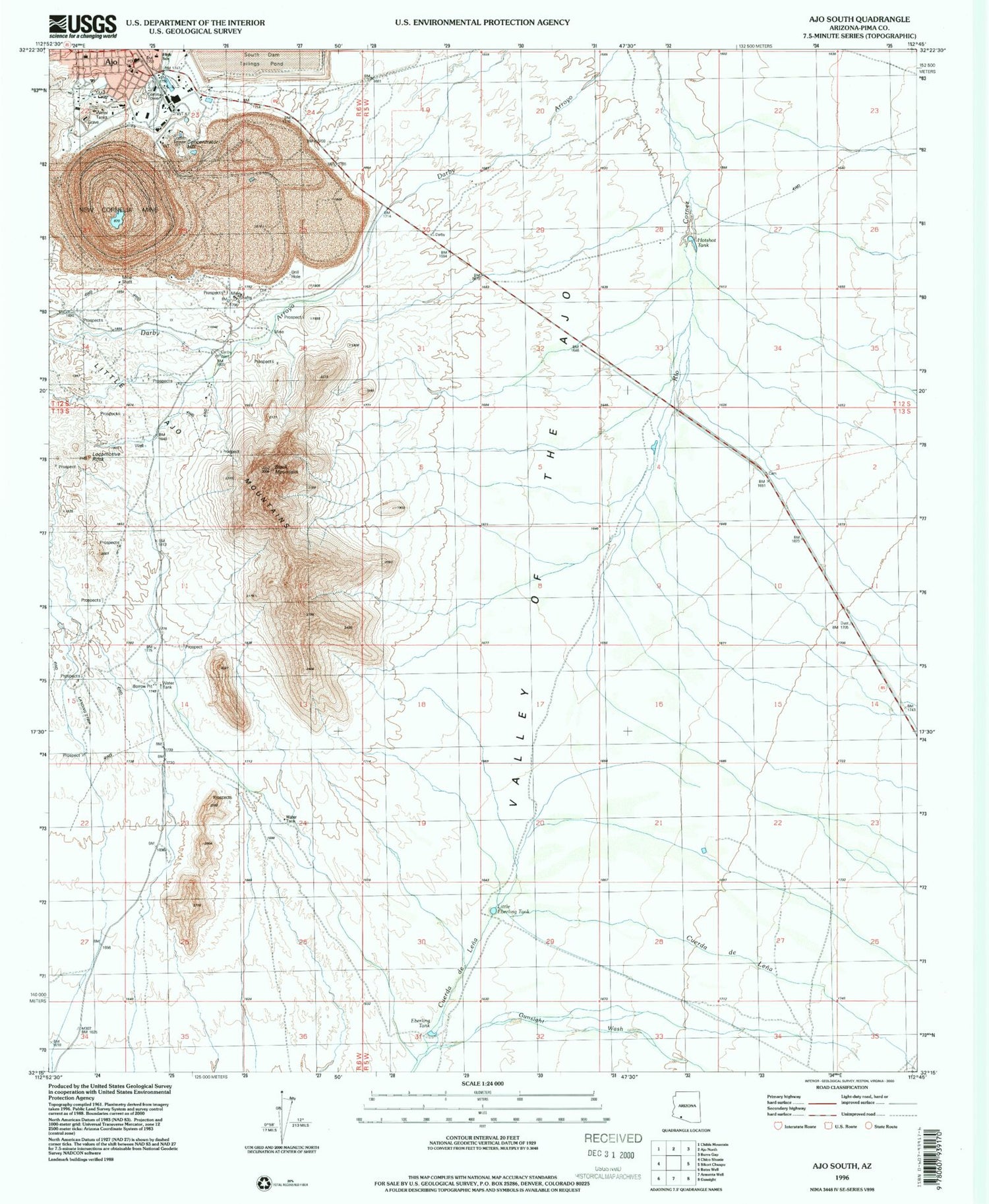
Classic USGS Ajo South Arizona 7.5'x7.5' Topo Map
Couldn't load pickup availability
Historical USGS topographic quad map of Ajo South in the state of Arizona. Map scale may vary for some years, but is generally around 1:24,000. Print size is approximately 24" x 27"
This quadrangle is in the following counties: Pima.
The map contains contour lines, roads, rivers, towns, and lakes. Printed on high-quality waterproof paper with UV fade-resistant inks, and shipped rolled.
Contains the following named places: Ajo, Ajo Calvary Baptist Church, Ajo Copper Mines, Ajo Elementary School, Ajo Federated Church, Ajo High School, Ajo Post Office, Arkansas Mountain, Black Mountain, Boy Scout Campgrounds, Camerons Tank, Concentrator Hill, Curley School, Darby Well, Eberling Tank, Gunsight, Gunsight Wash, Hotshot Tank, Immaculate Conception Catholic Church, Little Eberling Tank, Locomotive Rock, Mexican Town, New Cornelia Branch Hospital, New Cornelia Mine, New Cornelia Tailings Dam, Pima County Public Library Salazar Ajo Branch, Rowood