
MyTopo
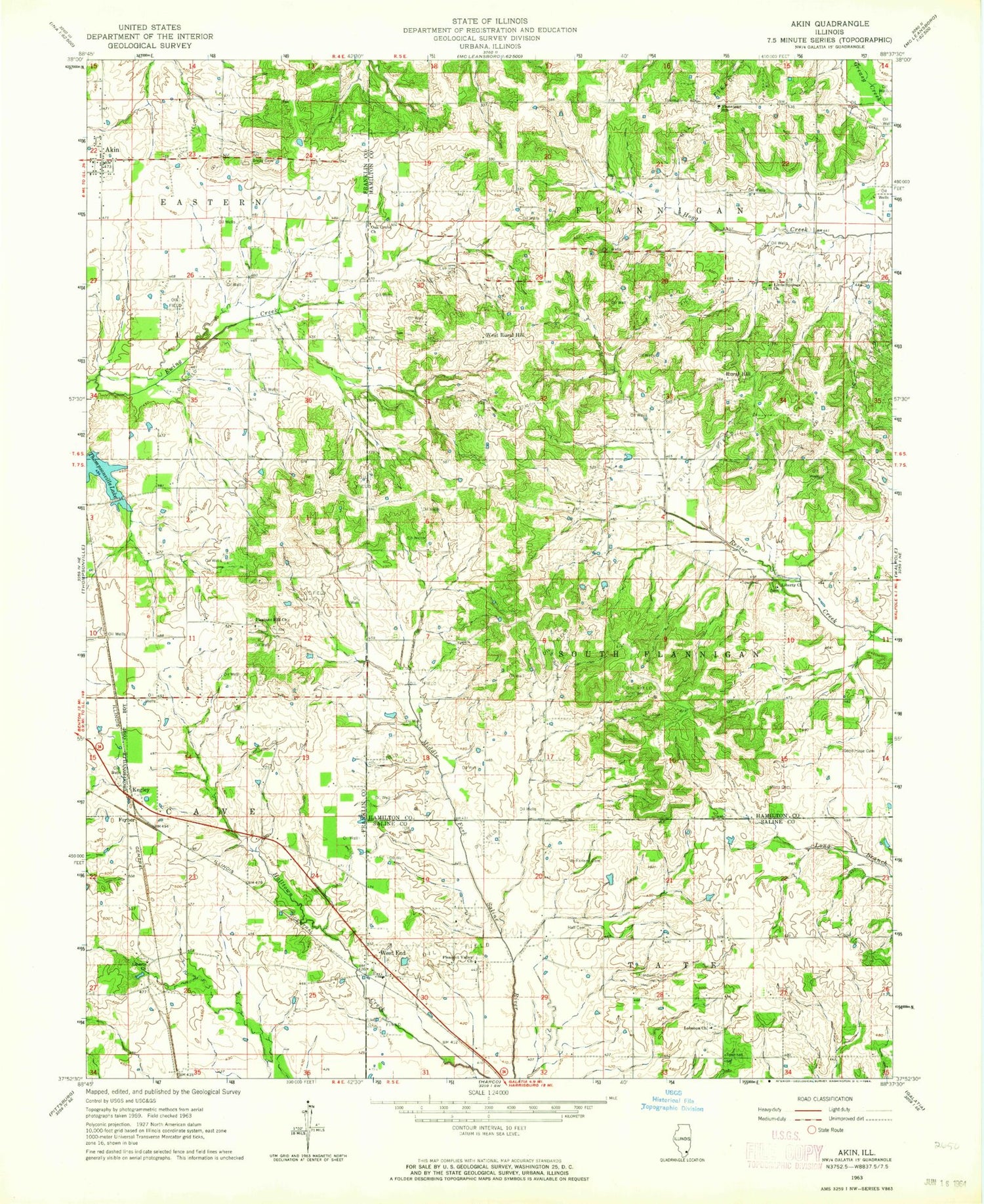
Classic USGS Akin Illinois 7.5'x7.5' Topo Map
Couldn't load pickup availability
Historical USGS topographic quad map of Akin in the state of Illinois. Map scale may vary for some years, but is generally around 1:24,000. Print size is approximately 24" x 27"
This quadrangle is in the following counties: Franklin, Hamilton, Saline.
The map contains contour lines, roads, rivers, towns, and lakes. Printed on high-quality waterproof paper with UV fade-resistant inks, and shipped rolled.
Contains the following named places: Akin, Akin Post Office, Brady Cemetery, Cantrell School, Cardwell Cemetery, Cave Eastern Fire Protection District Station 2, Ferber, Fisher Bend School, Flannigan School, Flannigan Townhall, Good Hope Cemetery, Halltown, Halltown Cemetery, Kegley, Knob Prairie School, Lampley Cemetery, Lebanon Church, Liberty Church, Little Hill School, Little Springs Church, McFarland Cemetery, Oak Grove Church, Oakgrove School, Pleasant Hill Church, Pleasant Hill School, Pleasant Valley Church, Rural Hill, Rural Hill School, Saul School, South Flannigan Townhall, Tate Townhall, Thistle Ridge School, Thompsonville Lake, Township of Flannigan, Township of South Flannigan, Township of Tate, West End, West End Disposal Facility, West Rural Hill, Winn Cemetery, WQRL-FM (Benton), ZIP Code: 62890


