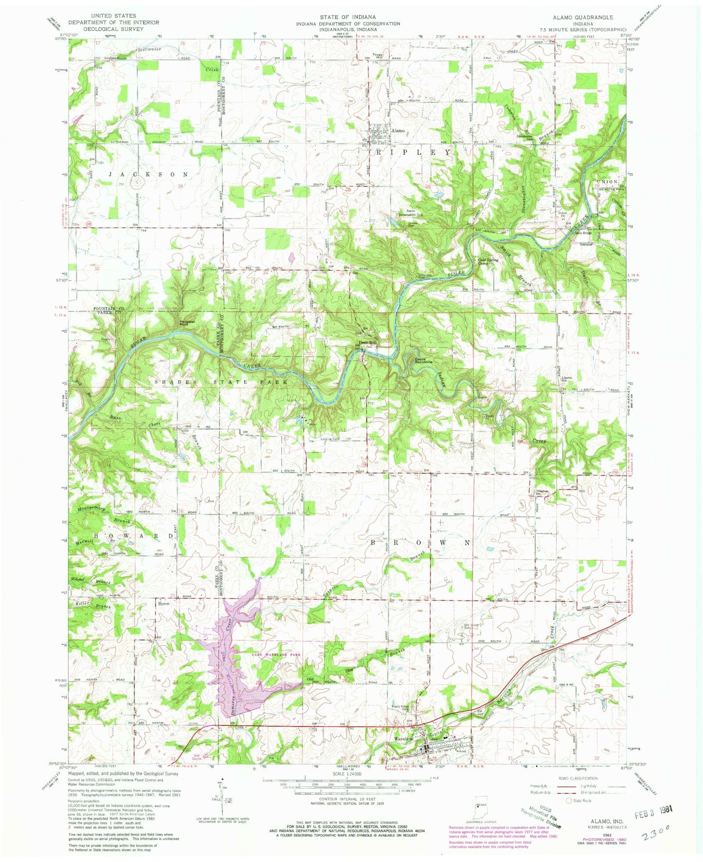
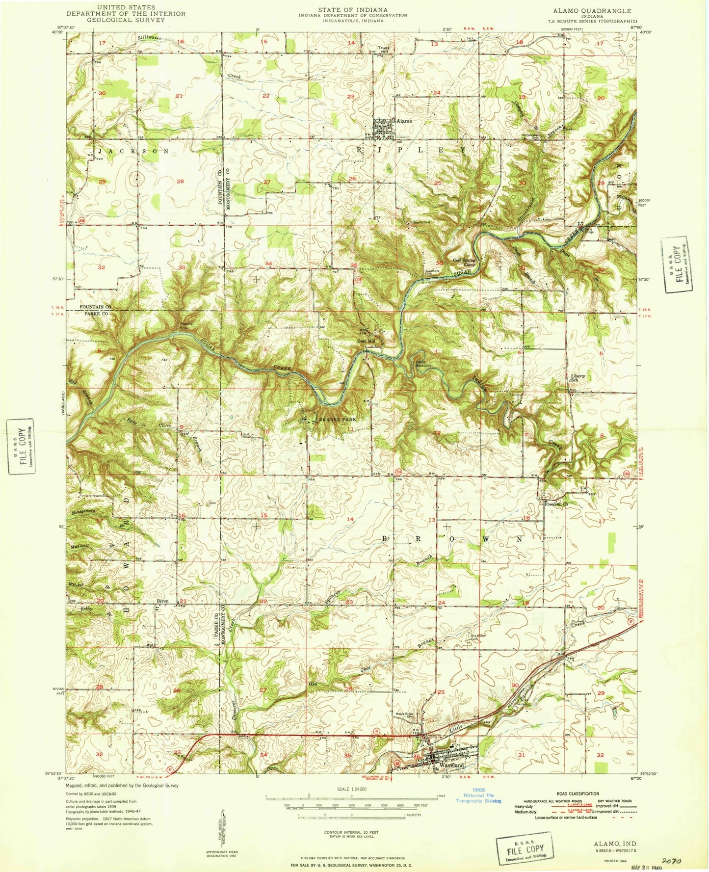
MyTopo
Classic USGS Alamo Indiana 7.5'x7.5' Topo Map
Couldn't load pickup availability
Historical USGS topographic quad map of Alamo in the state of Indiana. Typical map scale is 1:24,000, but may vary for certain years, if available. Print size: 24" x 27"
This quadrangle is in the following counties: Fountain, Montgomery, Parke.
The map contains contour lines, roads, rivers, towns, and lakes. Printed on high-quality waterproof paper with UV fade-resistant inks, and shipped rolled.
Contains the following named places: Alamo, Big Branch, Byron, Cold Spring Camp, Compton Branch, Davis Branch, Davis Bridge, Deer Mill, Devils Backbone, Freedom Church, Indian Creek, Karnes Creek, Liberty School, Maple Ridge Cemetery, Old Shoe Branch, Old Union Cemetery, Pedestal Rock, Rass Clore Branch, Sloan Ditch, Smith Branch, Sparks Cemetery, Spencer Branch, Stonebraker Branch, Stonebraker Cemetery, Sycamore Ford, Truax Hill, Waveland, Lake Waveland, Lake Waveland Park, Waveland Elementary School, Little Raccoon Structure Number 8, Shades State Park, Shades Pond Dam, Shades Pond, Shades State Park Airport (historical), Corner Creek, Banner Mills, Alamo Conservation Club, Township of Brown, Township of Ripley, Town of Alamo, Town of Waveland, Waveland Volunteer Fire Department, Ripley Township Volunteer Fire Department, Waveland Post Office, Alamo Post Office