
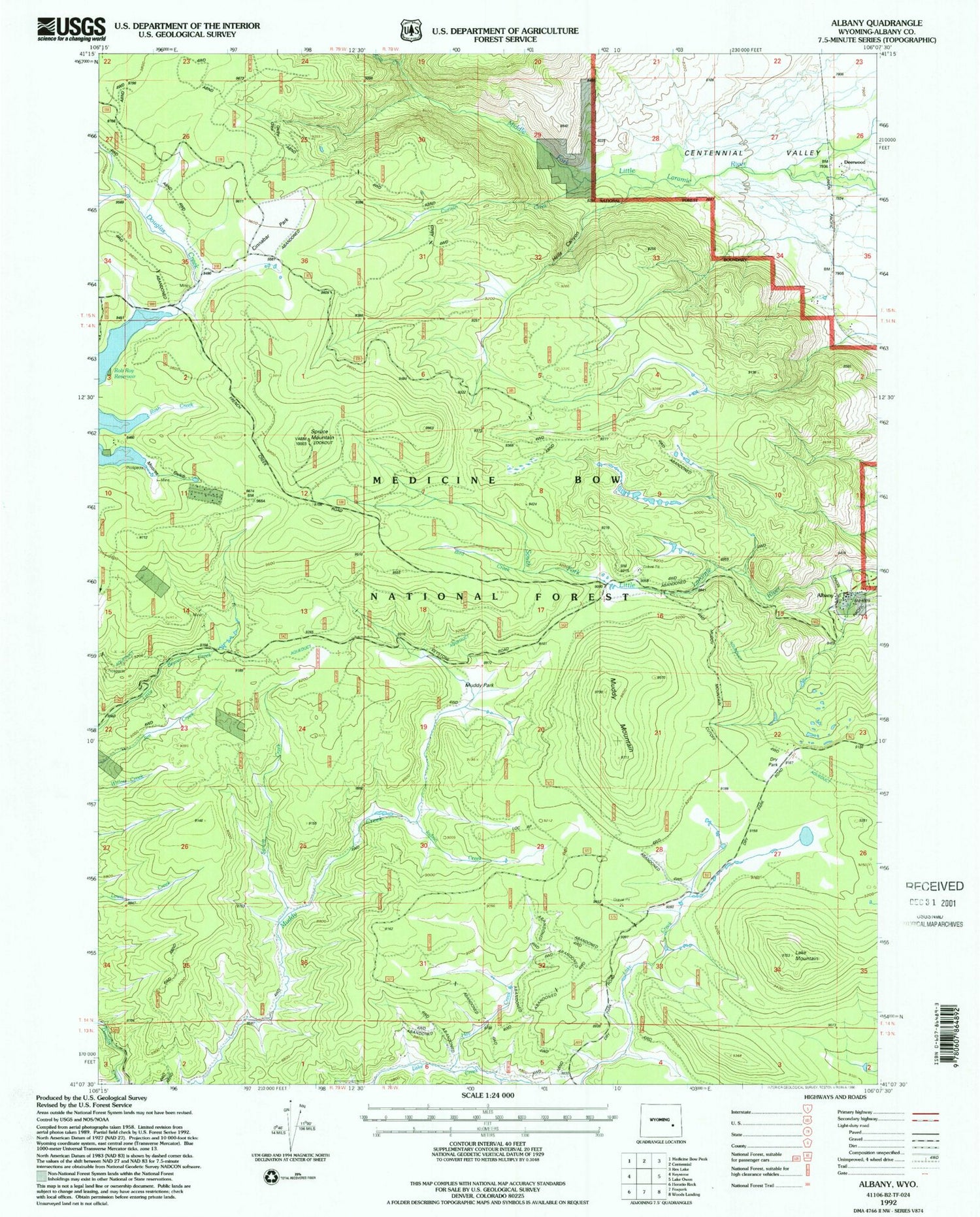
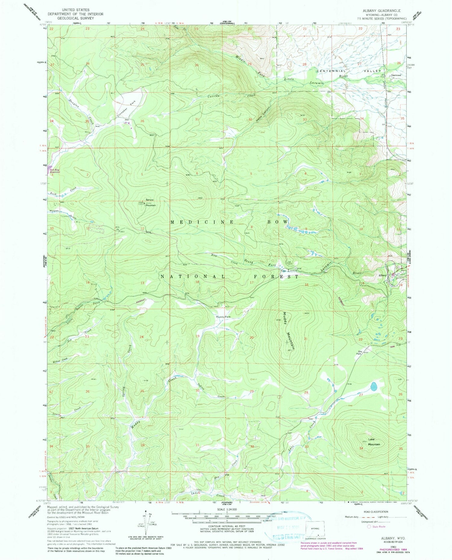
MyTopo
Classic USGS Albany Wyoming 7.5'x7.5' Topo Map
Couldn't load pickup availability
Historical USGS topographic quad map of Albany in the state of Wyoming. Typical map scale is 1:24,000, but may vary for certain years, if available. Print size: 24" x 27"
This quadrangle is in the following counties: Albany.
The map contains contour lines, roads, rivers, towns, and lakes. Printed on high-quality waterproof paper with UV fade-resistant inks, and shipped rolled.
Contains the following named places: Medicine Bow Mountains, Albany, Bird Creek, Cinnabar Park, Curitan Creek, Deerwood, Dry Park, Hay Creek, Hells Canyon, Indian Creek, June Creek, Lake Mountain, Moores Gulch, Muddy Mountain, Muddy Park, Otto Lumber Camp, Spring Creek, Spruce Mountain, Lake Creek Mine, Keystone Mine, Hub Load Claim, Lake Resort Area Mine, Albany Post Office (historical), Albany Census Designated Place, Centennial Valley Volunteer Fire Department - Station 4


