
MyTopo
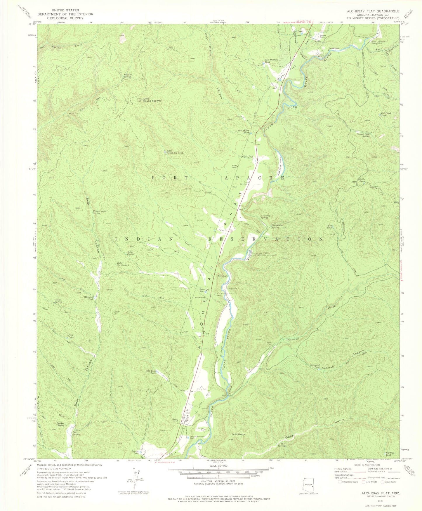
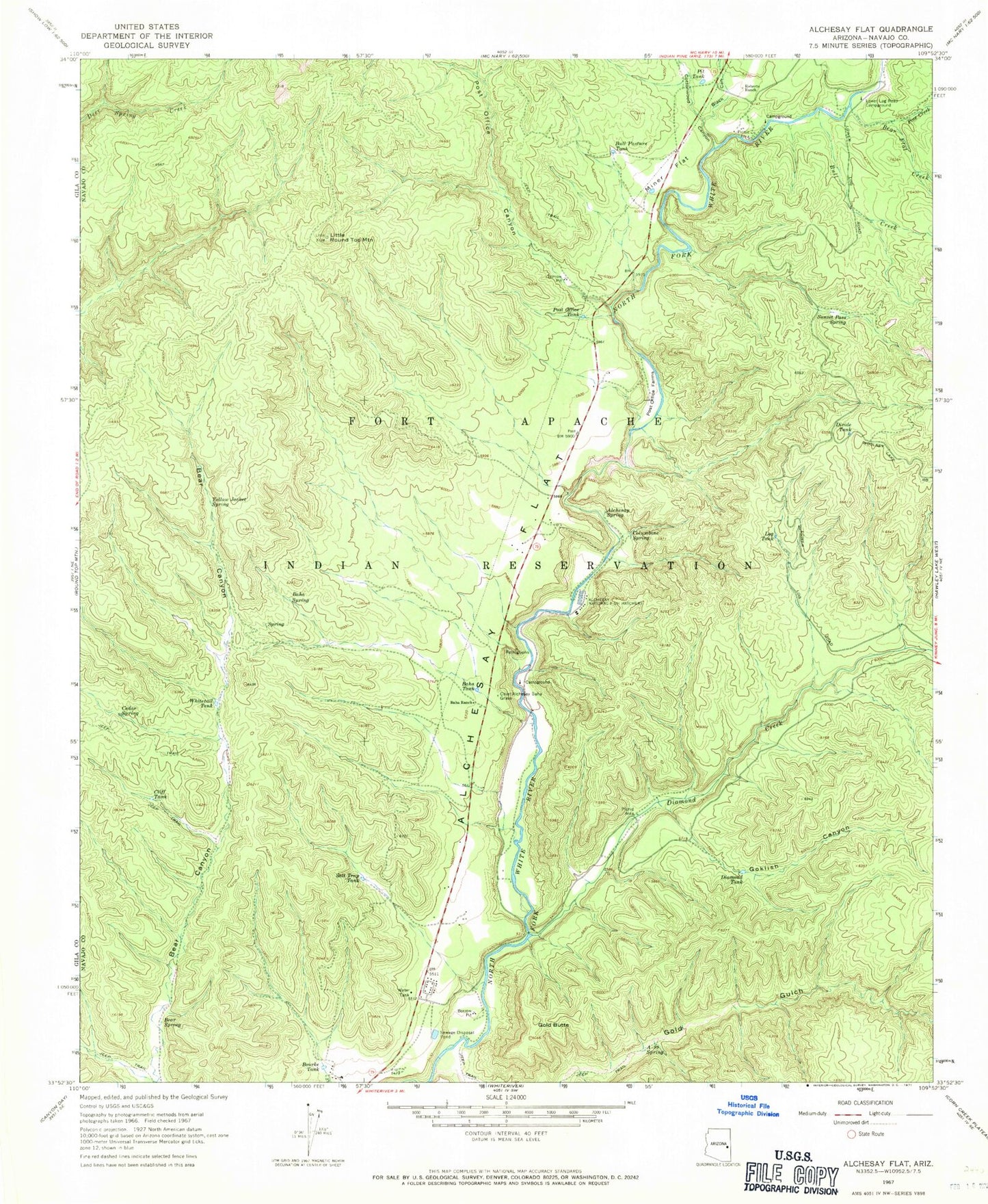
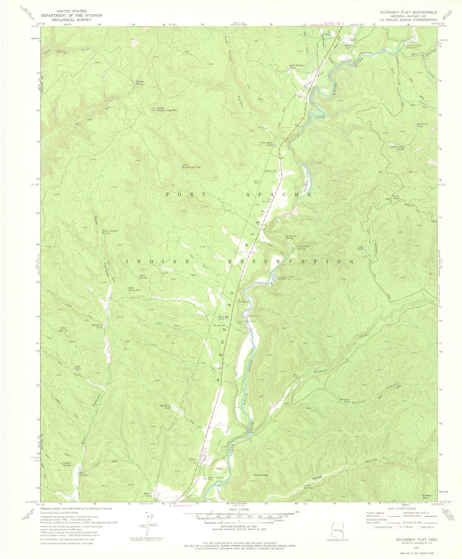
Classic USGS Alchesay Flat Arizona 7.5'x7.5' Topo Map
Couldn't load pickup availability
Historical USGS topographic quad map of Alchesay Flat in the state of Arizona. Map scale may vary for some years, but is generally around 1:24,000. Print size is approximately 24" x 27"
This quadrangle is in the following counties: Navajo.
The map contains contour lines, roads, rivers, towns, and lakes. Printed on high-quality waterproof paper with UV fade-resistant inks, and shipped rolled.
Contains the following named places: Alchesay Flat, Alchesay National Fish Hatchery, Alchesay Springs Campground, Alchesay Tank, A-ninetyone Spring, Baha Diversion Dam, Baha Ranch, Baha Spring, Baha Spring Number Two, Baha Tank, Bear Flat Creek, Bear Spring, Black Canyon, Bourke Tank, Bull Creek, Bull Creek Tank, Bull Pasture Tank, Cedar Spring, Chief Alchesay Baha Grave, Cliff Tank, Columbine Spring, Cottonwood Canyon, Cradleboard Elementary School, Crocker Spring, Diamond Creek, Diamond Creek Community Center, Diamond Creek Junction Campground, Diamond Creek Number Two Campground, Diamond Tank, Divide Tank, Gla She Spring, Goklish Canyon, Gold Butte, Gold Gulch, Holding Pasture Tank, Kaytoggie Diversion Dam, Little Round Top Mountain, Little Round Top Tank, Log Tank, Lower Log Road Campground, Miner Flat, North Fork Census Designated Place, Pine Creek, Pit Tank, Post Office Canyon, Post Office Farms, Post Office Tank, Rip Rap Tank, Roberts Ranch, Round Top Wash, Salt Trap Tank, Sunset Pass Spring, Sunset Pass Tank, Whiteriver Indian Hospital, Whitetail Tank, Yellow Jacket Spring