
MyTopo
Classic USGS Alegres Mountain New Mexico 7.5'x7.5' Topo Map
Couldn't load pickup availability
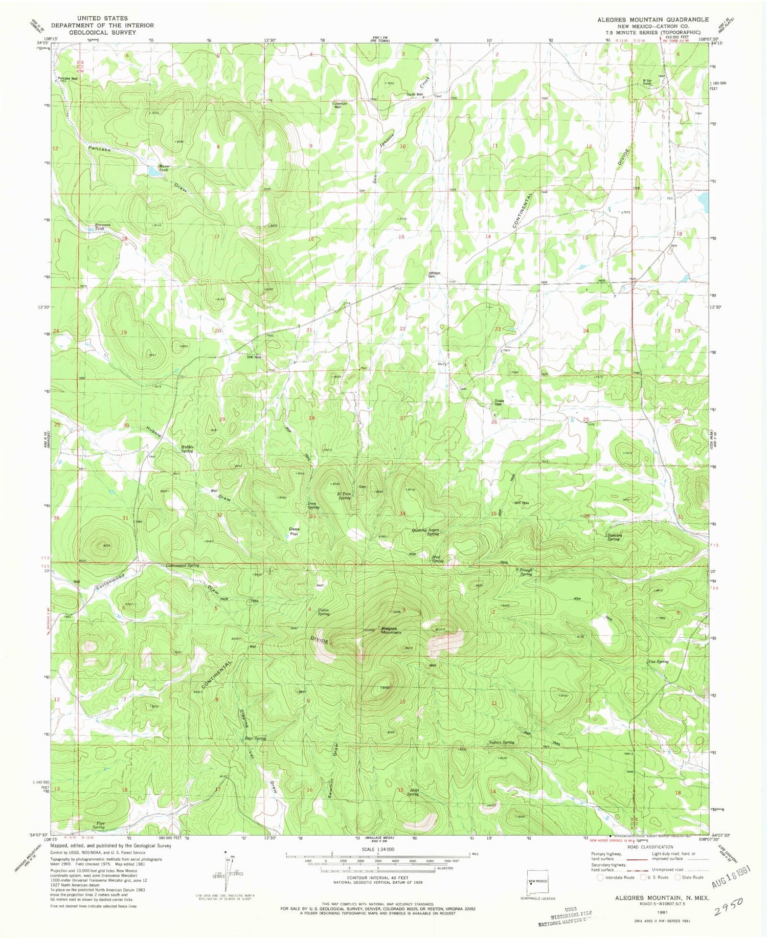
Historical USGS topographic quad map of Alegres Mountain in the state of New Mexico. Map scale may vary for some years, but is generally around 1:24,000. Print size is approximately 24" x 27"
This quadrangle is in the following counties: Catron.
The map contains contour lines, roads, rivers, towns, and lakes. Printed on high-quality waterproof paper with UV fade-resistant inks, and shipped rolled.
Contains the following named places: Alegres Mountain, Alice Spring, Bear Spring, Brannon Tank, Cabin Spring, Cottonwood Spring, Cox Spring, Dees Flat, Dees Spring, Divide Cemetery, El Toro Spring, Garnett, Hubble Spring, Indian Spring, Johnson Cemetery, Mann Tank, Mud Spring, Pancake Well, Pipe Spring, Quaking Aspen Spring, South Well, Sweazea Spring, T-Trough Spring, Uranium Well, W Bar Ranch


