MyTopo
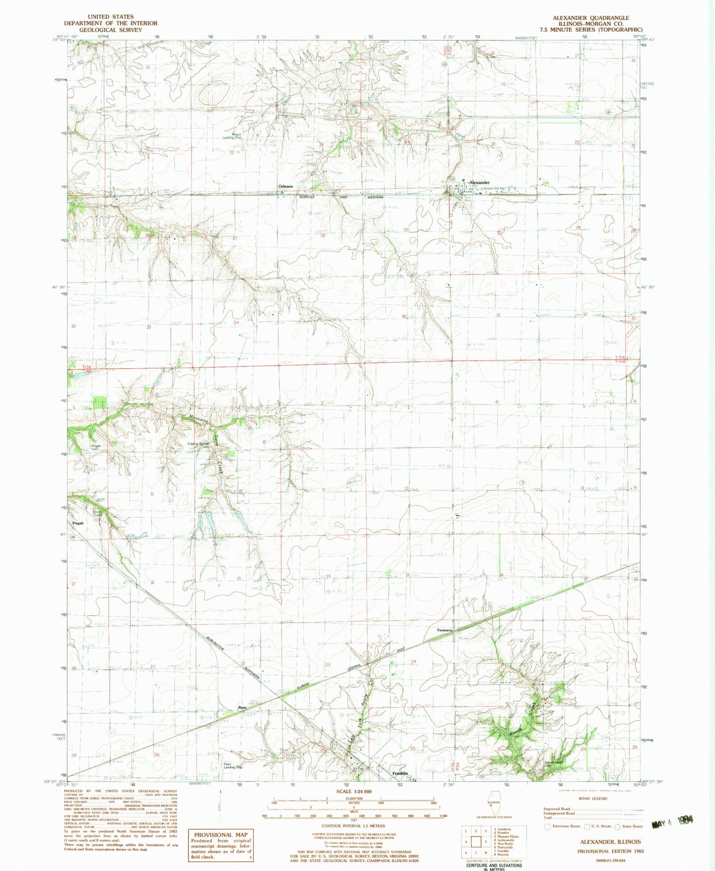
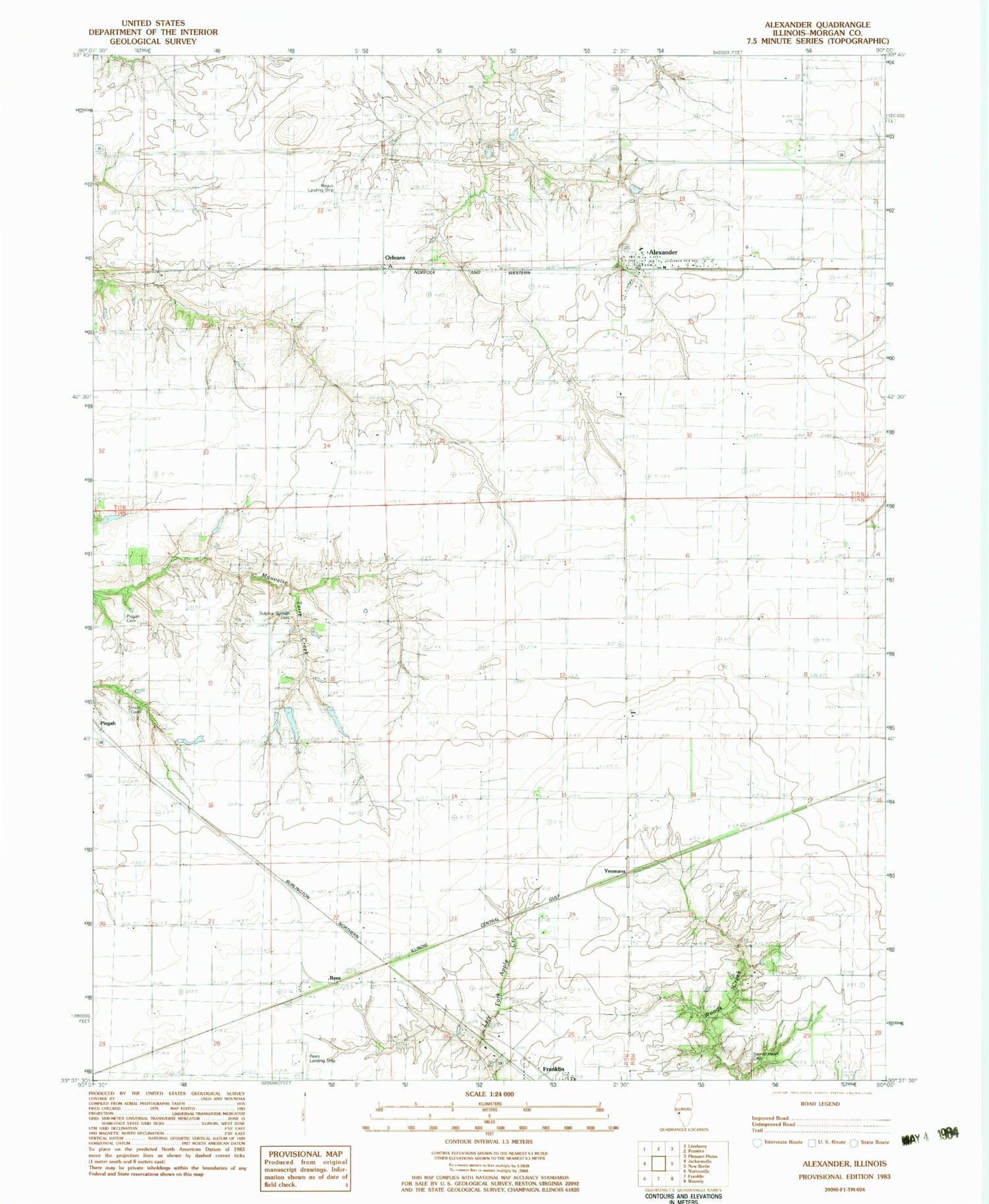
Classic USGS Alexander Illinois 7.5'x7.5' Topo Map
Couldn't load pickup availability
Historical USGS topographic quad map of Alexander in the state of Illinois. Map scale may vary for some years, but is generally around 1:24,000. Print size is approximately 24" x 27"
This quadrangle is in the following counties: Morgan.
The map contains contour lines, roads, rivers, towns, and lakes. Printed on high-quality waterproof paper with UV fade-resistant inks, and shipped rolled.
Contains the following named places: Alexander, Alexander Census Designated Place, Alexander Election Precinct, Alexander Elementary School, Alexander Fire Department, Alexander Post Office, College Grove School, East Liberty School, East Walnut Grove School, Little Hope School, Negus Landing Strip, Orleans, Pisgah Cemetery, Pisgah Church, Rees, Rees Landing Strip, Rees School, Sacred Heart Cemetery, Sulphur Spring School, Sulphur Springs Cemetery, Union Cemetery, West Liberty School, Woodlawn Station, Yeomans, ZIP Code: 62601