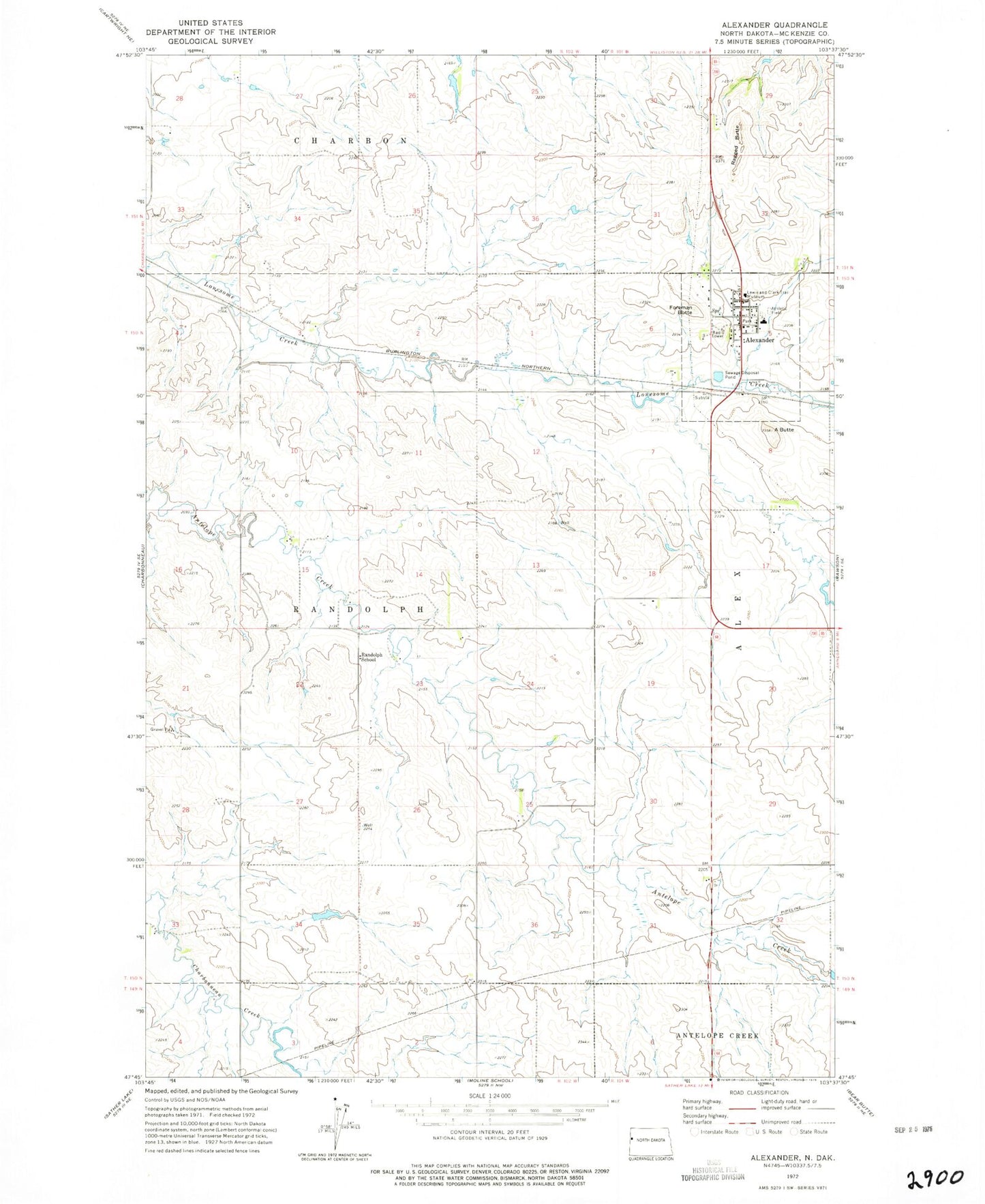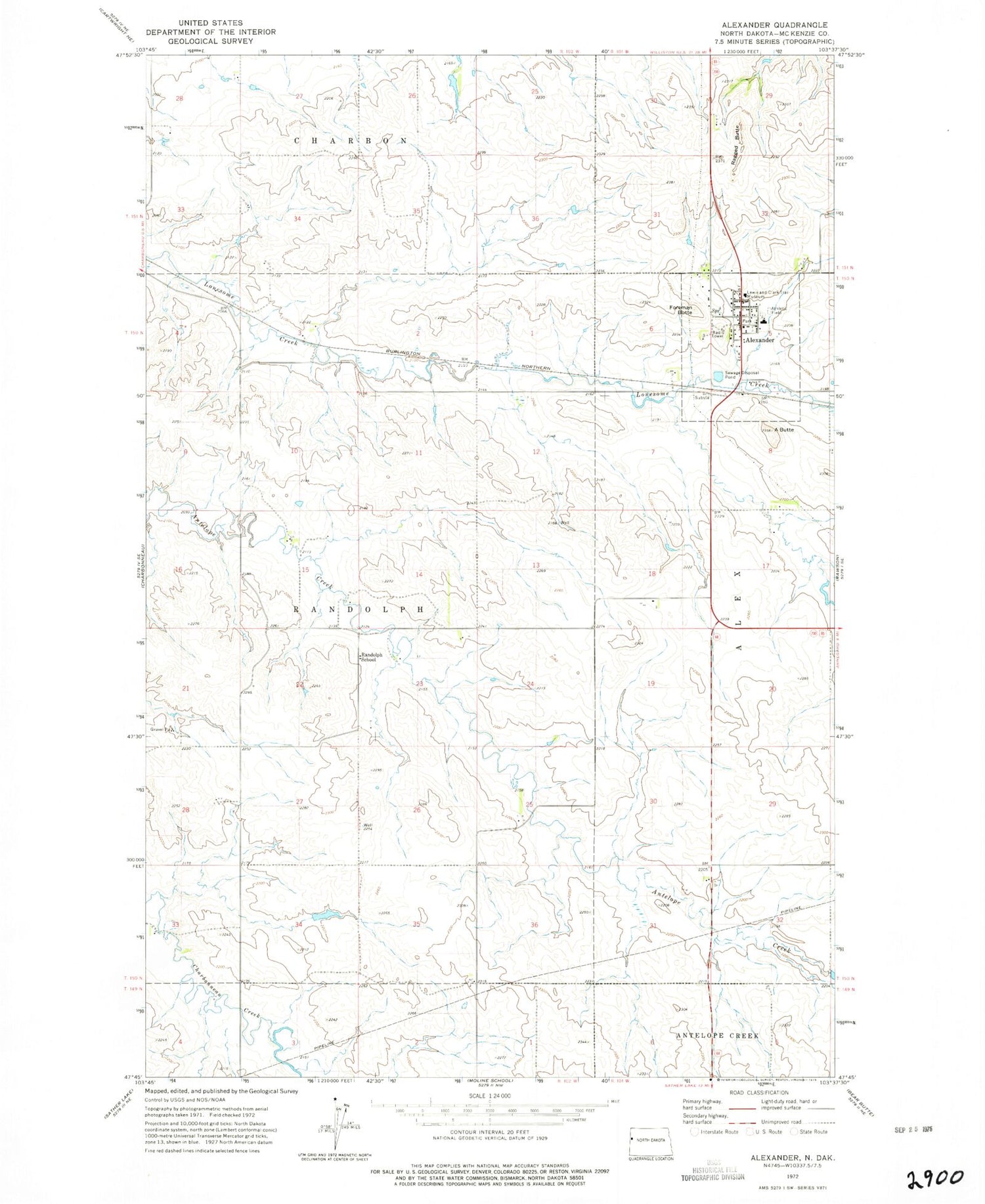
MyTopo
Classic USGS Alexander North Dakota 7.5'x7.5' Topo Map
Couldn't load pickup availability
Historical USGS topographic quad map of Alexander in the state of North Dakota. Map scale may vary for some years, but is generally around 1:24,000. Print size is approximately 24" x 27"
This quadrangle is in the following counties: McKenzie.
The map contains contour lines, roads, rivers, towns, and lakes. Printed on high-quality waterproof paper with UV fade-resistant inks, and shipped rolled.
Contains the following named places: A Butte, Alexander, Alexander City Hall, Alexander Police Department, Alexander Post Office, Alexander Public School, Alexander Volunteer Fire Department, City of Alexander, Foreman Butte, Lewis and Clark Trail Museum, R Skorpil Ranch, R Wolf Ranch, Ragged Butte, Randolph School, Township of Randolph, ZIP Code: 58831