MyTopo
Classic USGS Alfarata Pennsylvania 7.5'x7.5' Topo Map
Couldn't load pickup availability
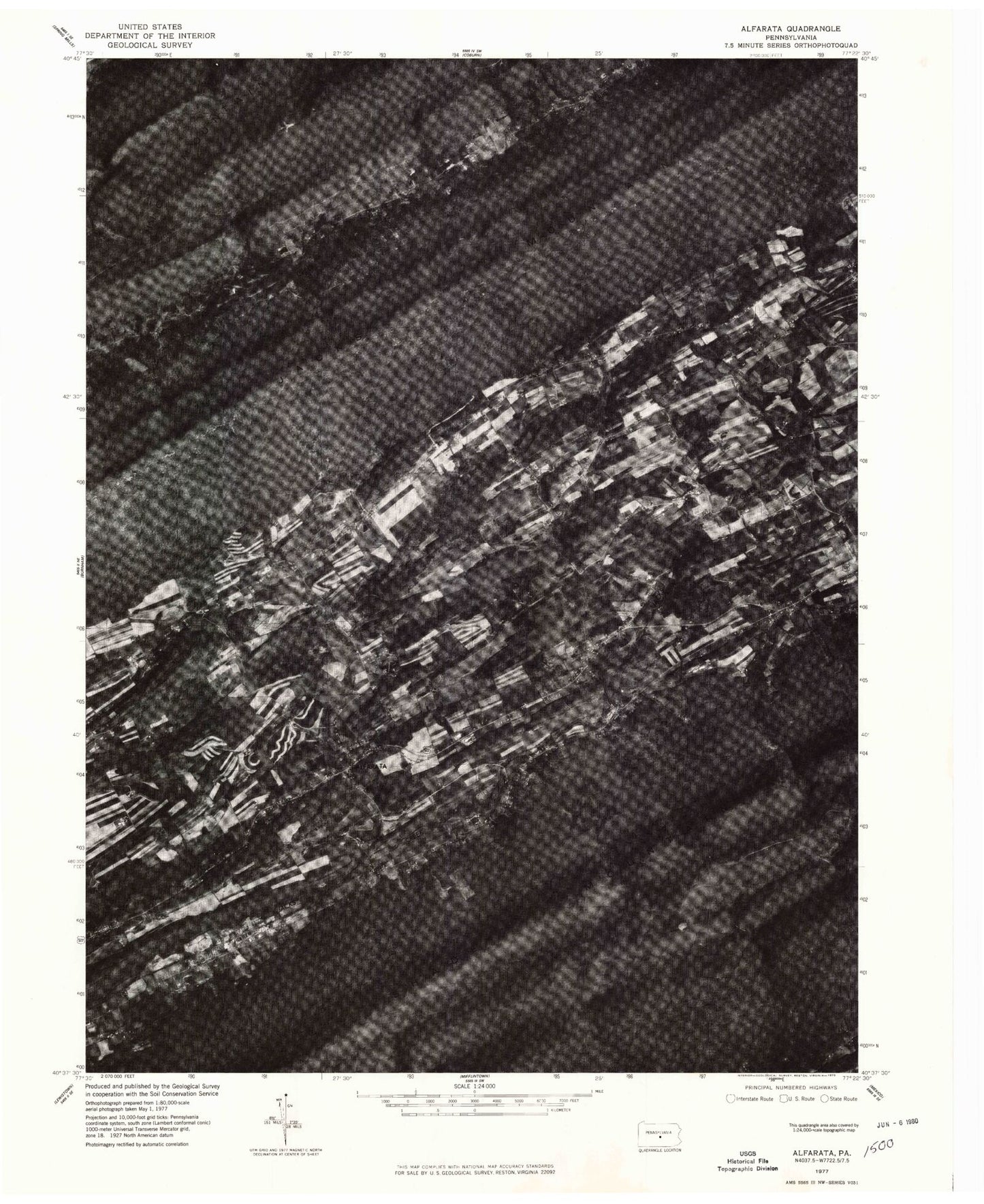
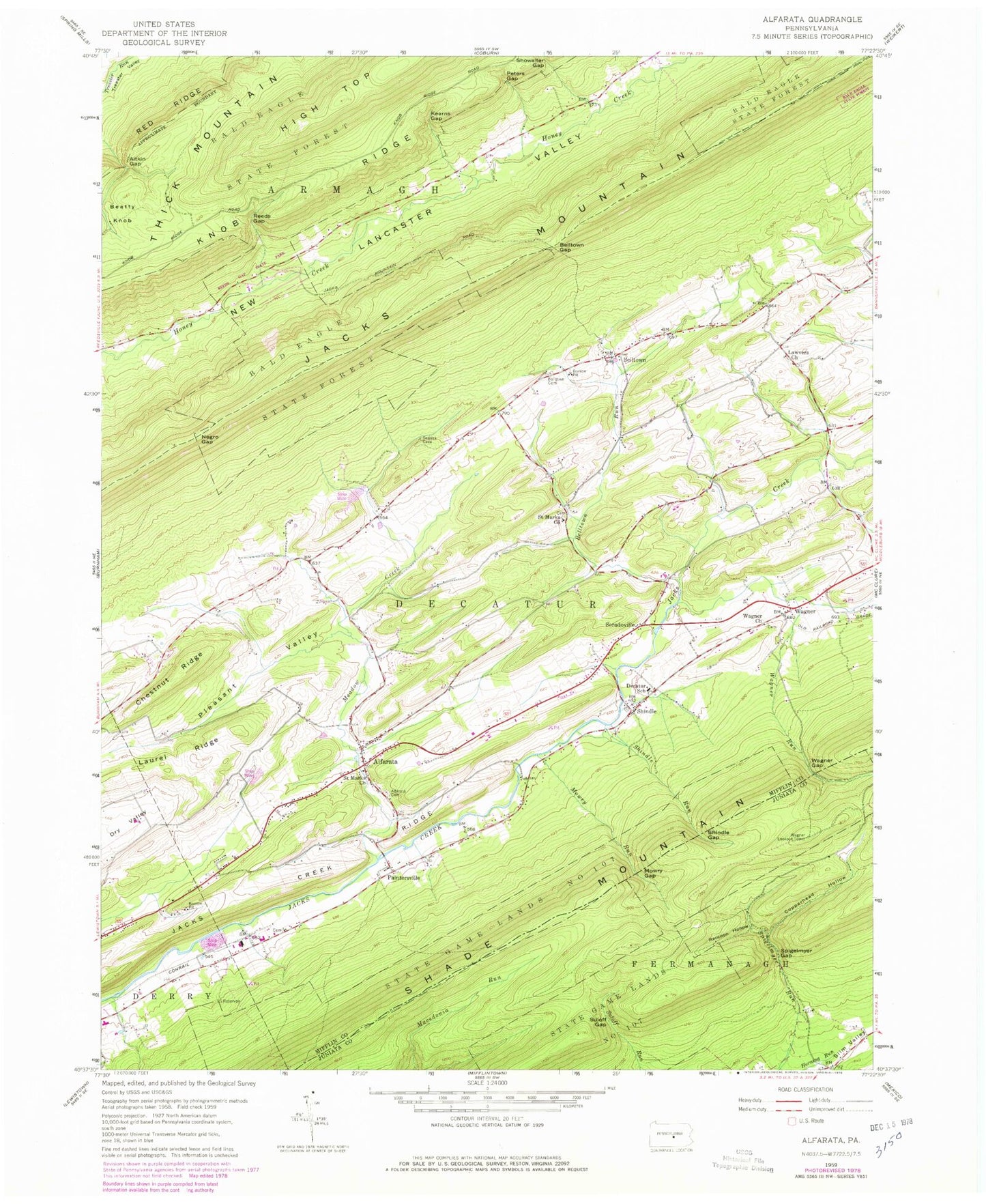
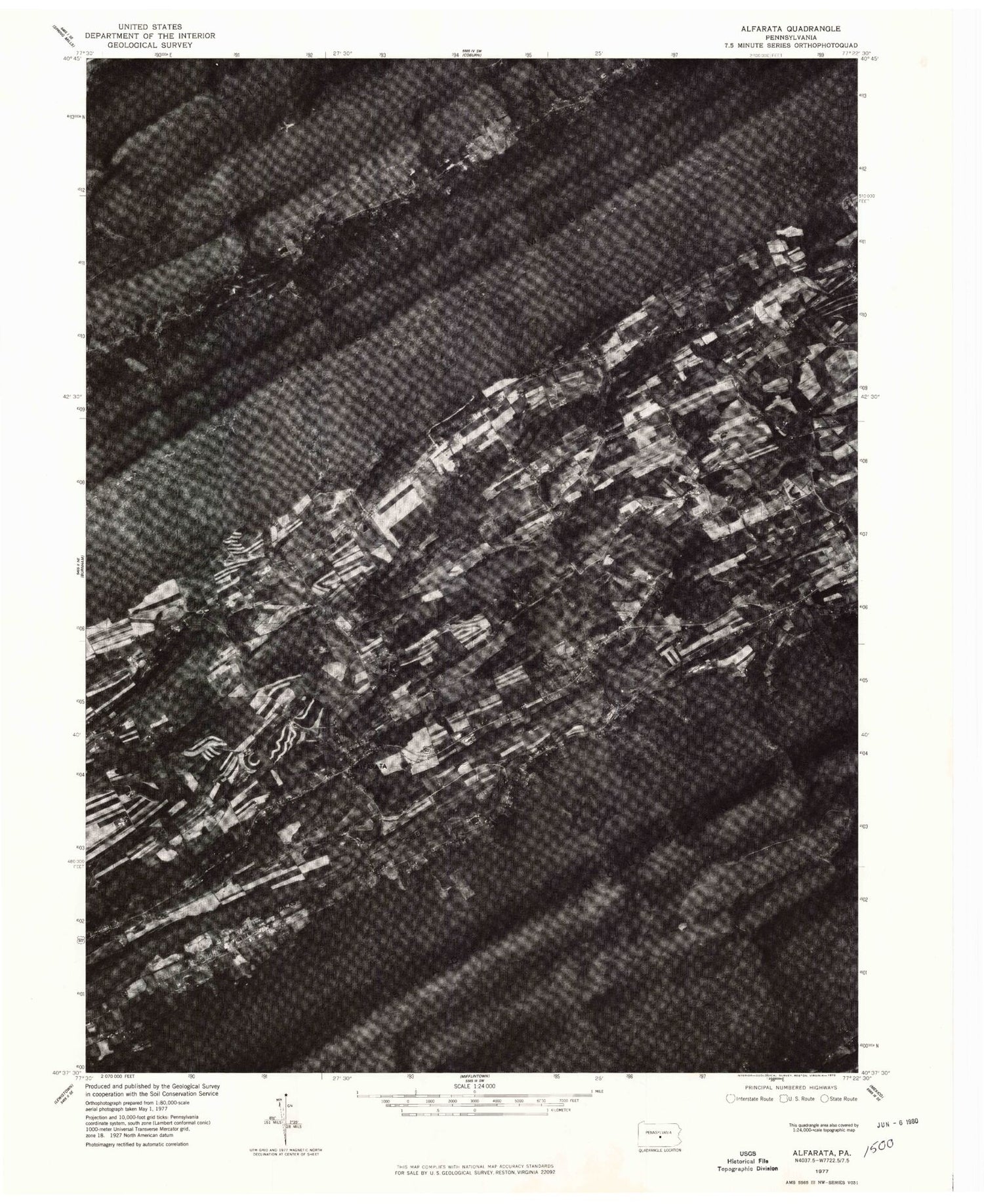
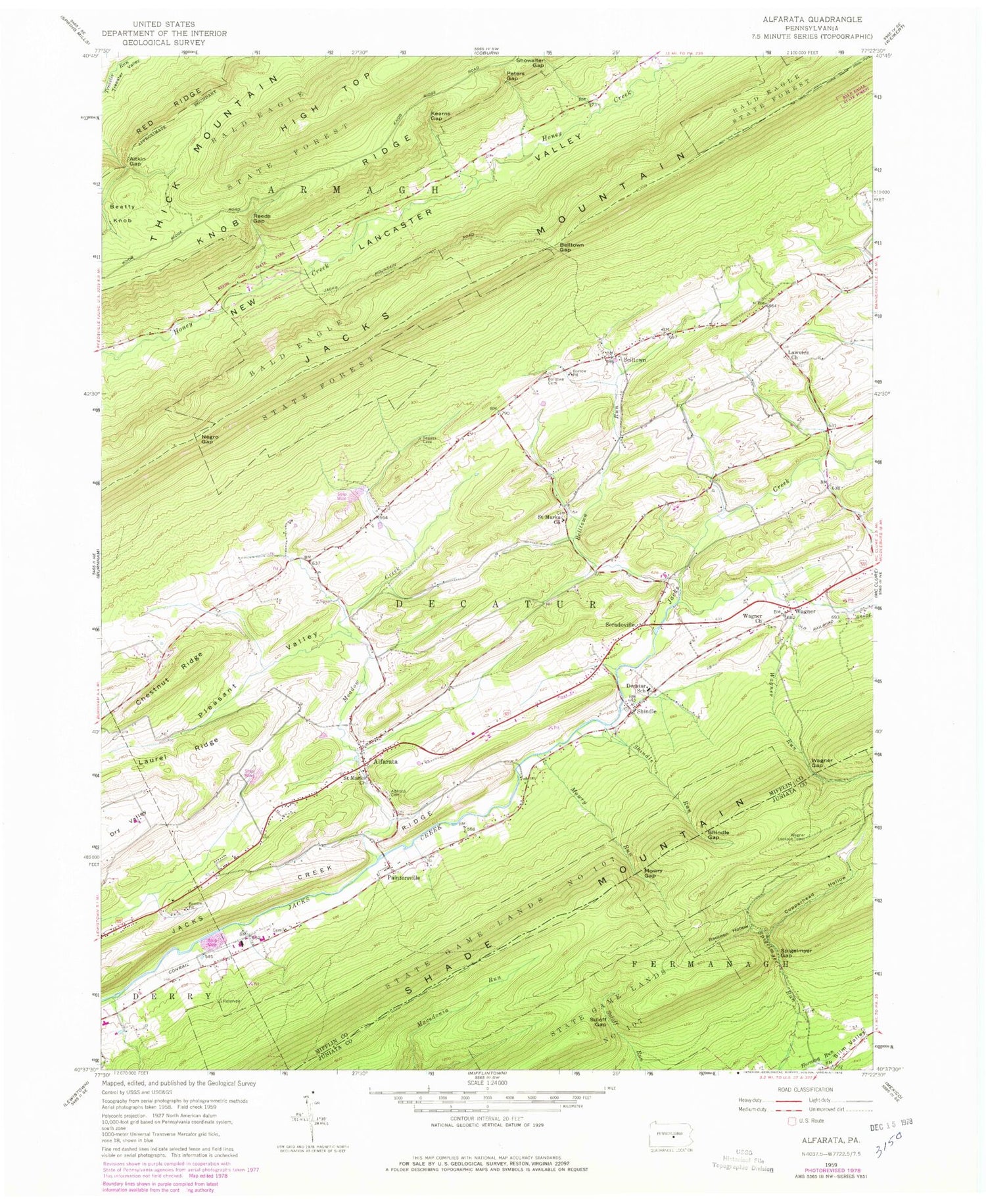
Historical USGS topographic quad map of Alfarata in the state of Pennsylvania. Typical map scale is 1:24,000, but may vary for certain years, if available. Print size: 24" x 27"
This quadrangle is in the following counties: Juniata, Mifflin.
The map contains contour lines, roads, rivers, towns, and lakes. Printed on high-quality waterproof paper with UV fade-resistant inks, and shipped rolled.
Contains the following named places: Alfarata, Alfarata Lutheran Cemetery, Aitkin Gap, Belltown, Belltown Cemetery, Belltown Gap, Belltown Run, Chestnut Ridge, Copperhead Hollow, Decatur School, Kearns Gap, Laurel Ridge, Lawvers Church, Meadow Creek, Mowry Gap, Mowry Run, Negro Gap, Paintersville, Peters Gap, Pleasant Valley, Raccoon Hollow, Reeds Gap, Saint Marks Church, Saint Marks Church, Shindle, Shindle Gap, Slim Valley, Soradoville, Spigelmyer Gap, Suloff Gap, Wagner, Wagner Church, Wagner Gap, Wagner Run, Jacks Creek Ridge, State Game Lands Number 107, Shangri La Airport (historical), Snook, Center School, Belltown School, Sigler School, Reeds Gap State Park, Decatur, Wagner Lookout Tower, Shindle Run, Township of Decatur, Alfarata Census Designated Place, Wagner Census Designated Place, Decatur Volunteer Fire Company Station 5, New Lancaster Valley Volunteer Fire Company Station 8, Wagner Cemetery, Lawver's United Methodist Cemetery, Saint Mark's Lutheran Cemetery, Paintersville Christian Missionary Alliance Cemetery, Bell - Sigler Cemetery