MyTopo
Classic USGS Allagash Falls Maine 7.5'x7.5' Topo Map
Regular price
$16.95
Regular price
Sale price
$16.95
Unit price
per
Couldn't load pickup availability
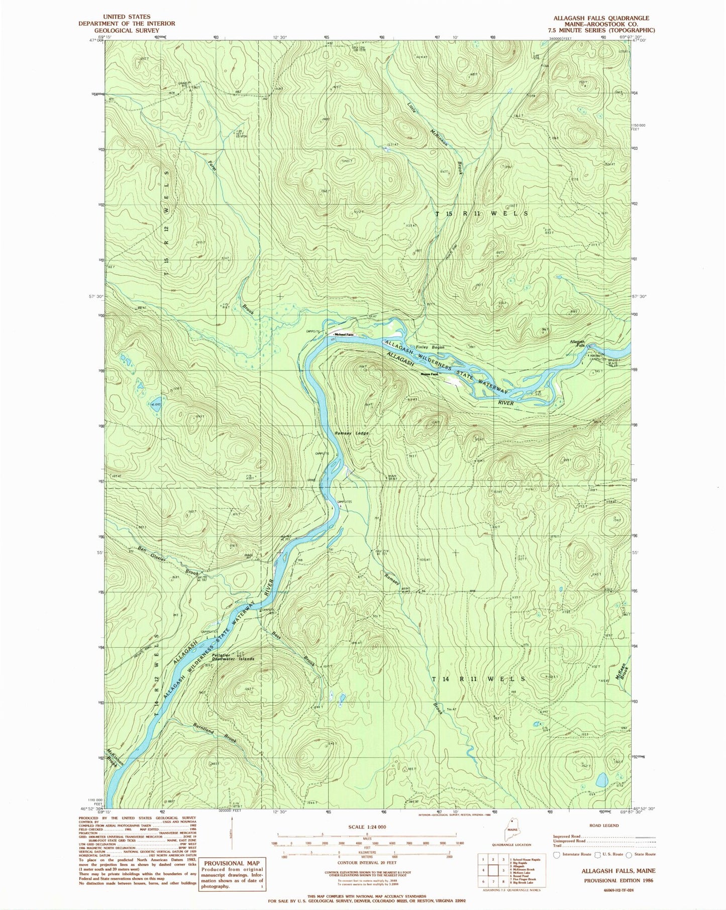
Historical USGS topographic quad map of Allagash Falls in the state of Maine. Typical map scale is 1:24,000, but may vary for certain years, if available. Print size: 24" x 27"
This quadrangle is in the following counties: Aroostook.
The map contains contour lines, roads, rivers, towns, and lakes. Printed on high-quality waterproof paper with UV fade-resistant inks, and shipped rolled.
Contains the following named places: Allagash Falls, Bass Brook, Ben Glazier Brook, Burntland Brook, Cunliffe Depot Camp, Dows Camp, Farm Brook, Finley Bogan, McKinnon Brook, Little McKinnon Brook, Michaud Farm, Moores Farm, Ramsay Brook, Pelletier Deadwater Islands, T14 R11 WELS, T15 R11 WELS