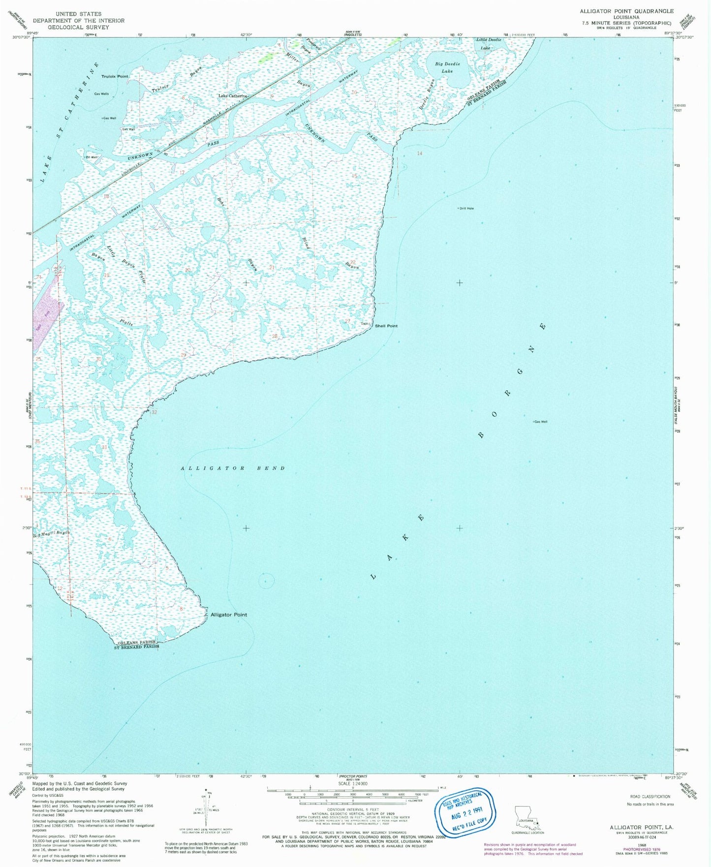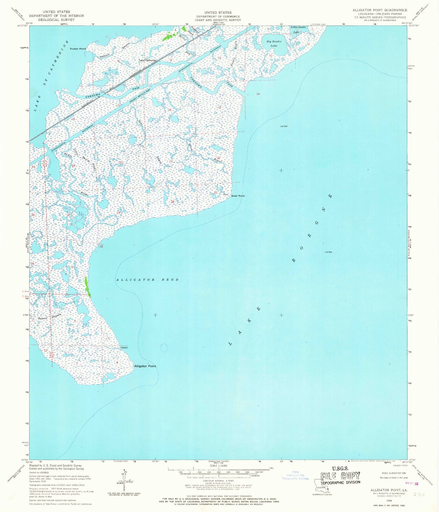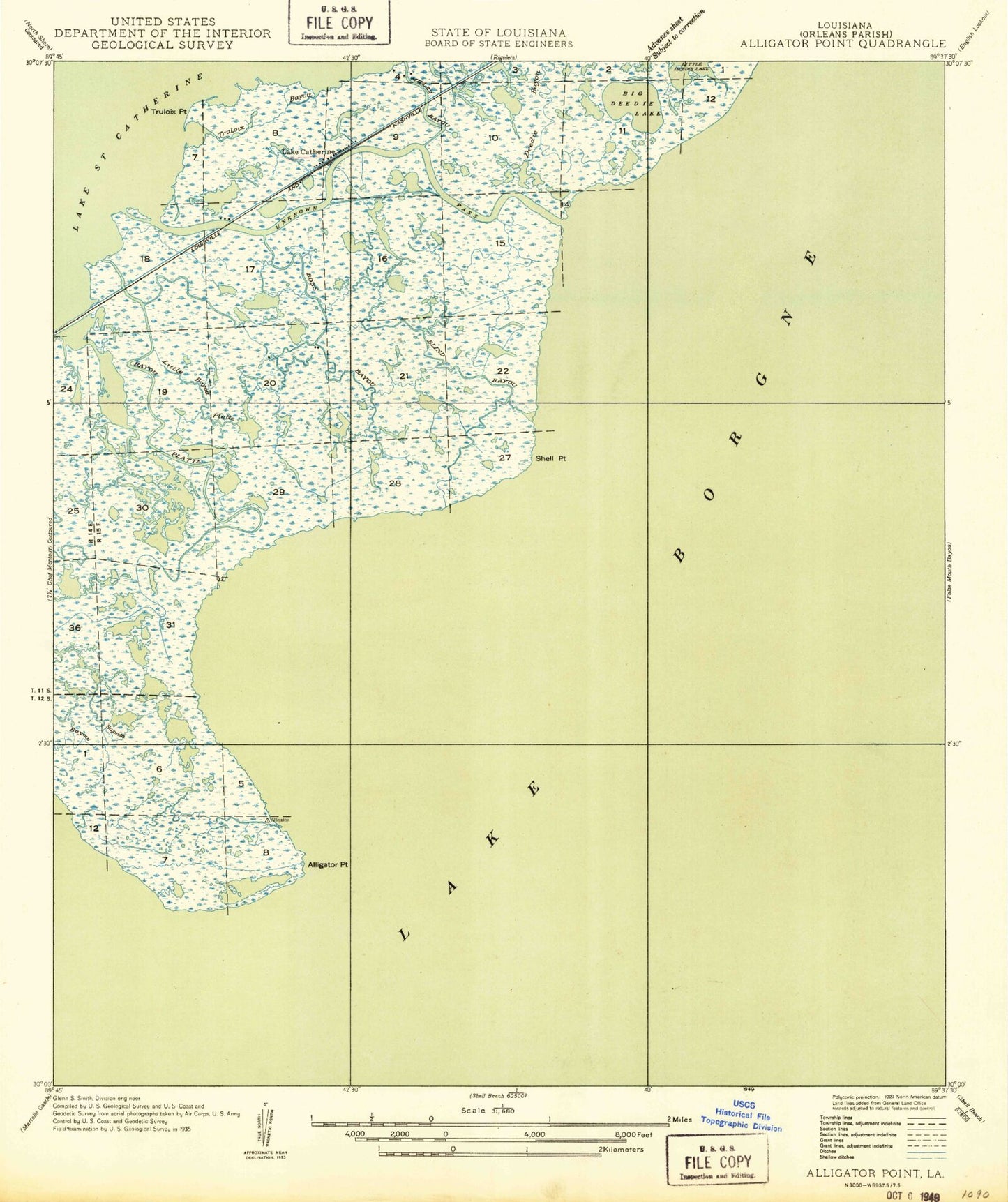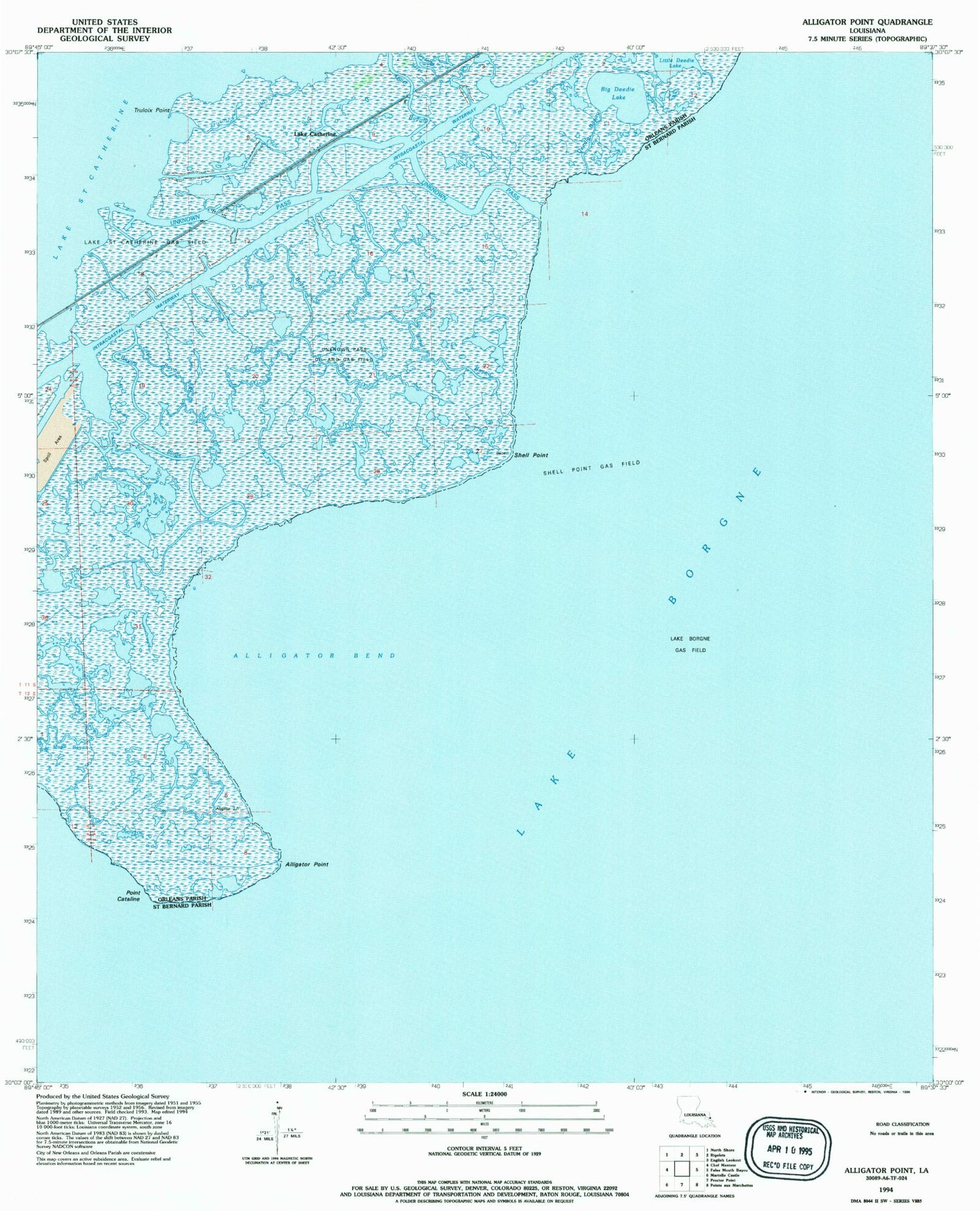

MyTopo
Classic USGS Alligator Point Louisiana 7.5'x7.5' Topo Map
Couldn't load pickup availability
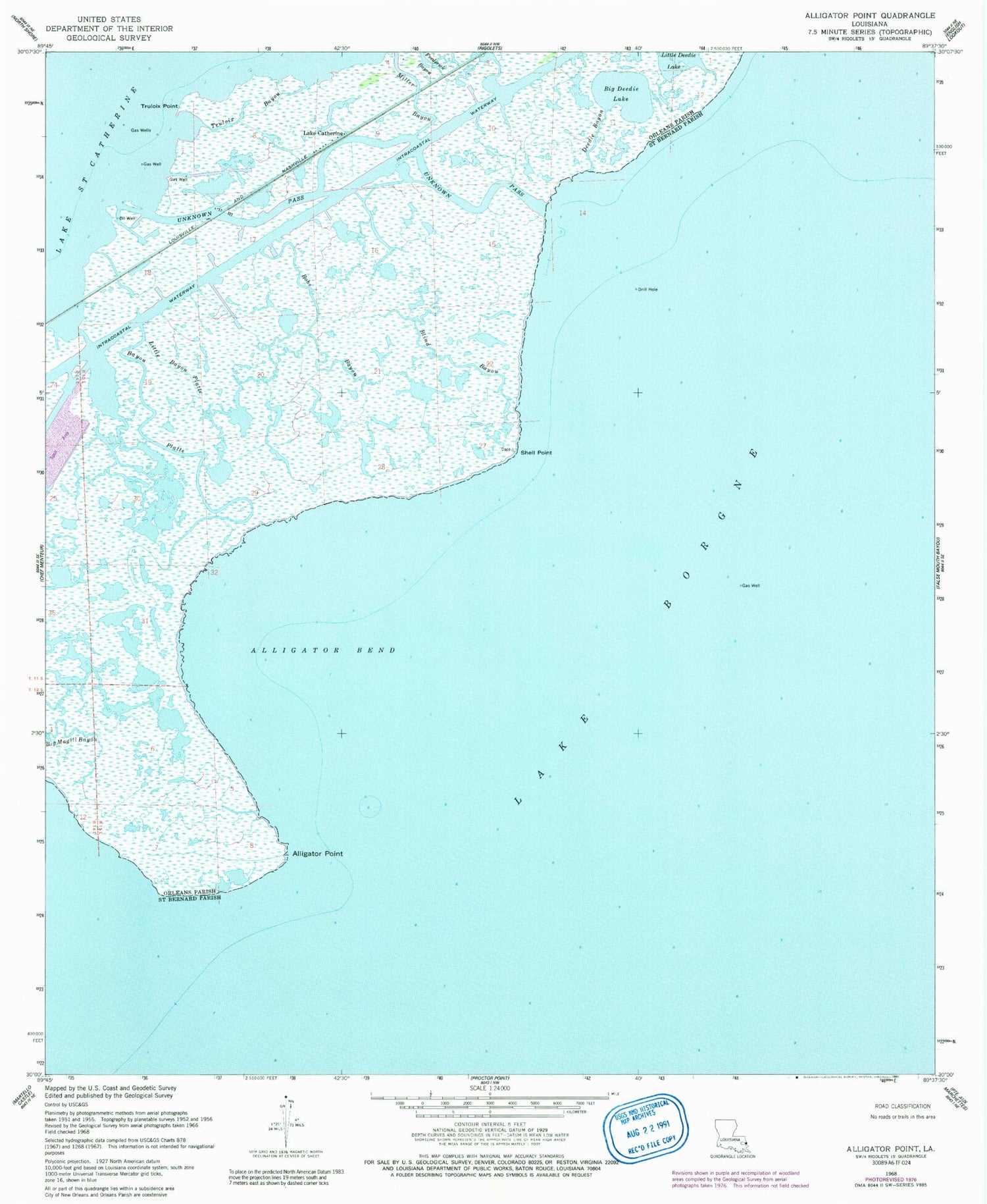
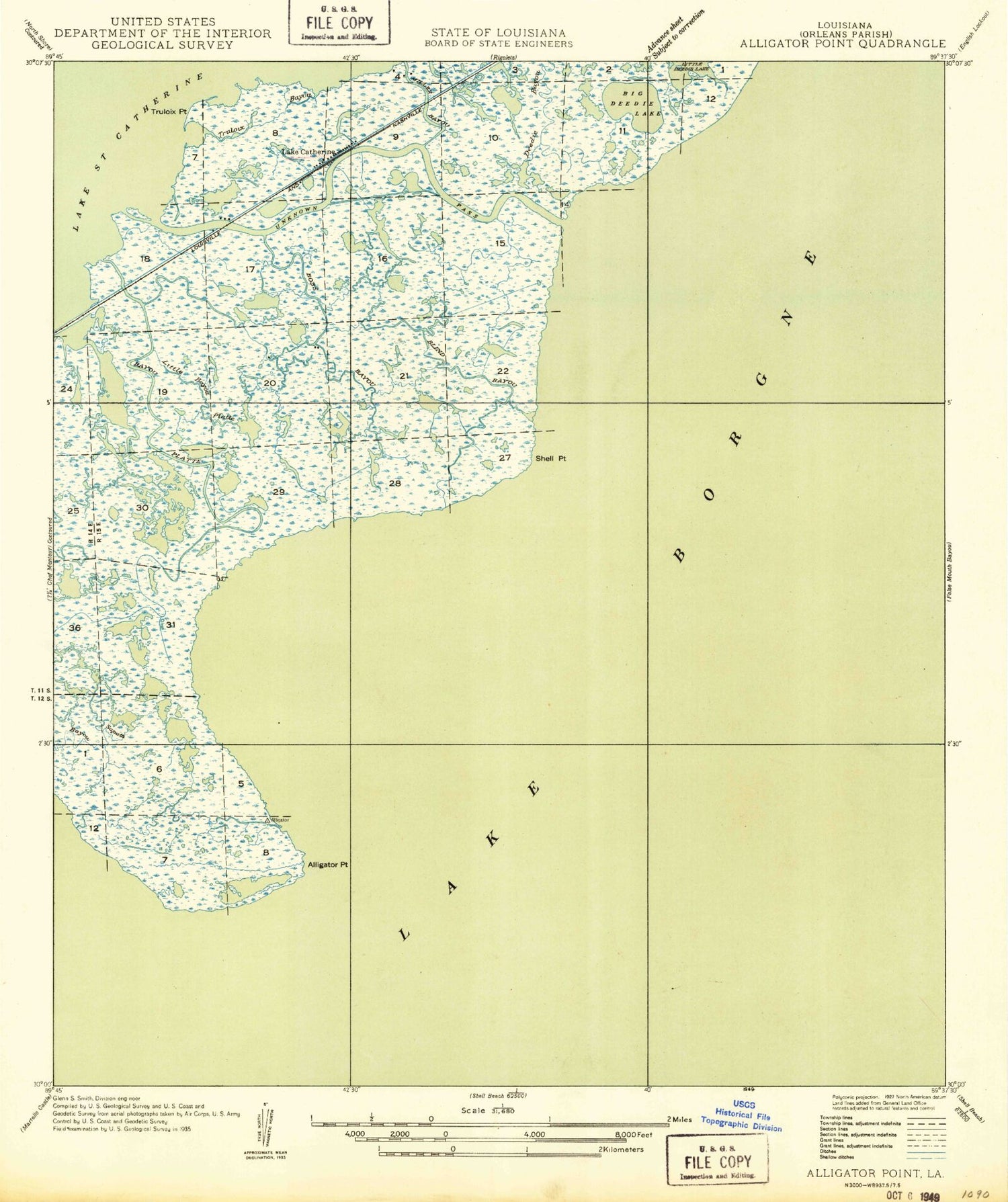
Historical USGS topographic quad map of Alligator Point in the state of Louisiana. Map scale may vary for some years, but is generally around 1:24,000. Print size is approximately 24" x 27"
This quadrangle is in the following counties: Orleans, St. Bernard.
The map contains contour lines, roads, rivers, towns, and lakes. Printed on high-quality waterproof paper with UV fade-resistant inks, and shipped rolled.
Contains the following named places: Alligator Bend, Alligator Point, Bayou Platte, Big Deedie Lake, Big Magill Bayou, Blind Bayou, Bobs Bayou, Deedie Bayou, Frederick Bayou, Lake Catherine, Little Bayou Platte, Miller Bayou, Point Cataline, Shell Point, Truloix Bayou, Truloix Point, Unknown Pass, Unknown Pass Gas Field