MyTopo
Classic USGS Alma NE Georgia 7.5'x7.5' Topo Map
Couldn't load pickup availability
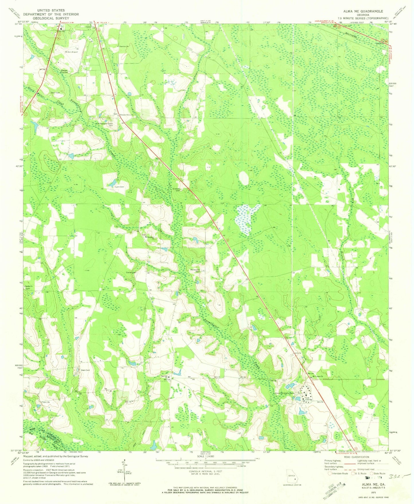
Historical USGS topographic quad map of Alma NE in the state of Georgia. Map scale may vary for some years, but is generally around 1:24,000. Print size is approximately 24" x 27"
This quadrangle is in the following counties: Appling, Bacon.
The map contains contour lines, roads, rivers, towns, and lakes. Printed on high-quality waterproof paper with UV fade-resistant inks, and shipped rolled.
Contains the following named places: Appling County, Beckworth Cemetery, Black Water Creek, Carter Cemetery, Cook Chapel, Deen Cemetery, Graham Cemetery, Holmesville, Hopewell School, Hopewell United Methodist Church, Lynn Cemetery, Mount Vernon Baptist Church, Odum Childrens Home, Old Pleasant Grove Cemetery, Pine Forest, Pine View Baptist Church, Pleasant Grove Missionary Baptist Church, Red Oak Baptist Church, Red Oak Volunteer Fire Department, Revival Worship Center, Satilla Missionary Baptist Church