MyTopo
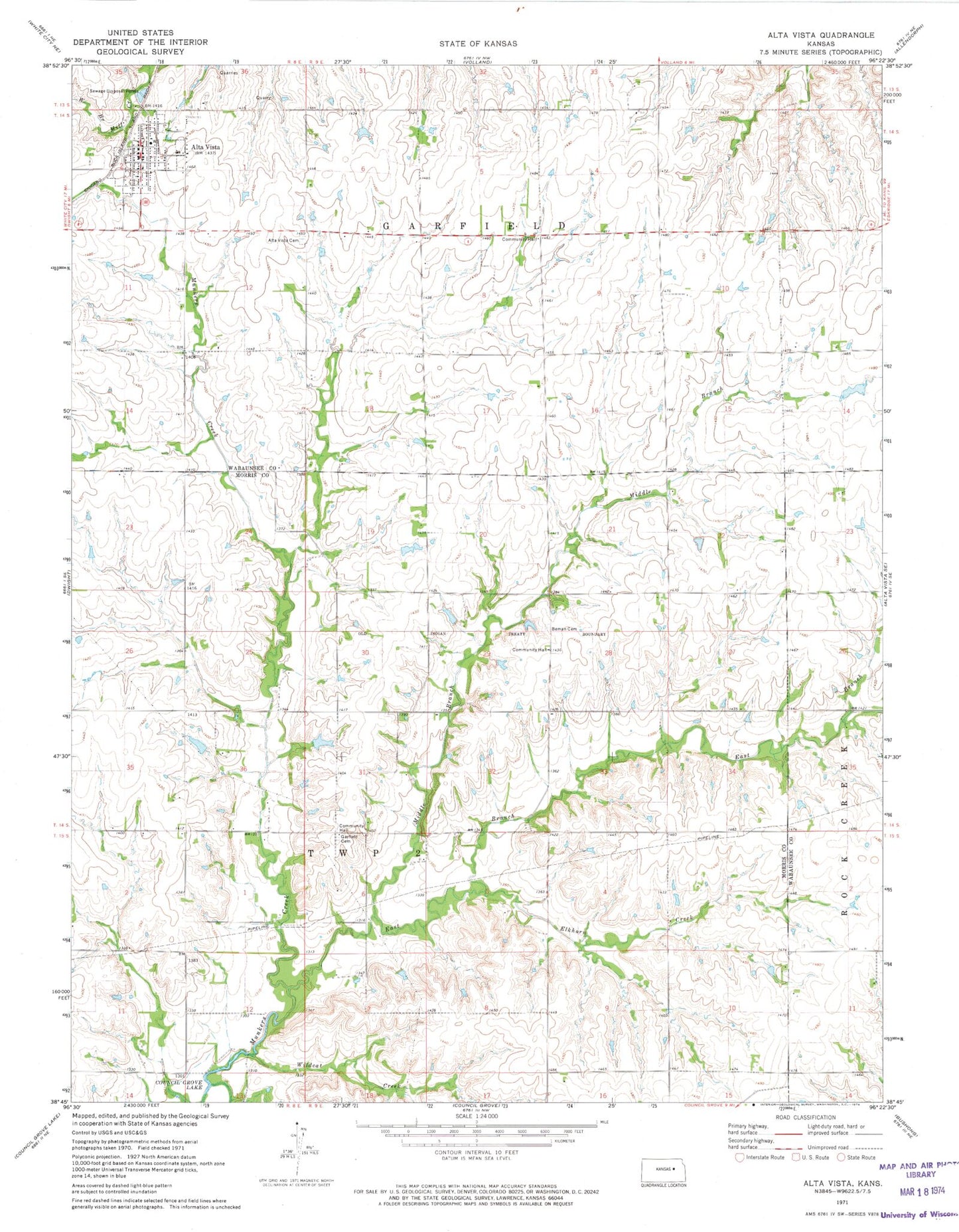
Classic USGS Alta Vista Kansas 7.5'x7.5' Topo Map
Couldn't load pickup availability
Historical USGS topographic quad map of Alta Vista in the state of Kansas. Map scale may vary for some years, but is generally around 1:24,000. Print size is approximately 24" x 27"
This quadrangle is in the following counties: Morris, Wabaunsee.
The map contains contour lines, roads, rivers, towns, and lakes. Printed on high-quality waterproof paper with UV fade-resistant inks, and shipped rolled.
Contains the following named places: Alta Vista, Alta Vista Cemetery, Alta Vista Post Office, Alta Vista United Metrhodist Church, Alta Vista Wastewater Plant, Beman, Beman Cemetery, City of Alta Vista, East Branch Munkers Creek, Elkhorn Creek, Farmers Co - Operative Association Grain Elevator Number 2, First Baptist Church, Garfield Cemetery, Middle Branch Munkers Creek, Pike, Pottawatomie Wabaunsee Regional Library Alta Vista Mini Branch, Prairie Heights Elementary School, Saint Paul's Lutheran Church, Township of Garfield, Wabaunsee County Fire District 2 Alta Vista Fire Department, Wildcat Creek, ZIP Code: 66834