MyTopo
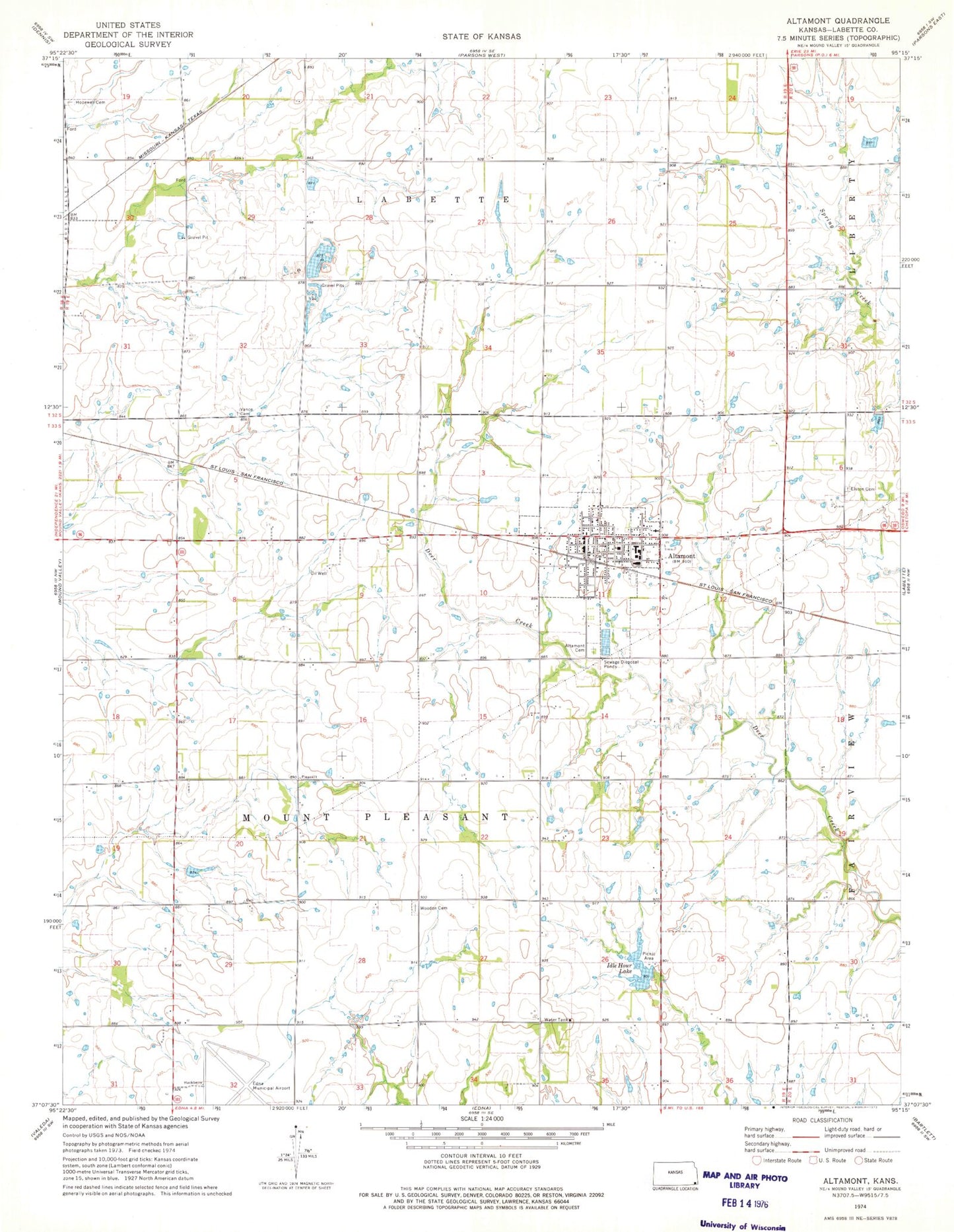
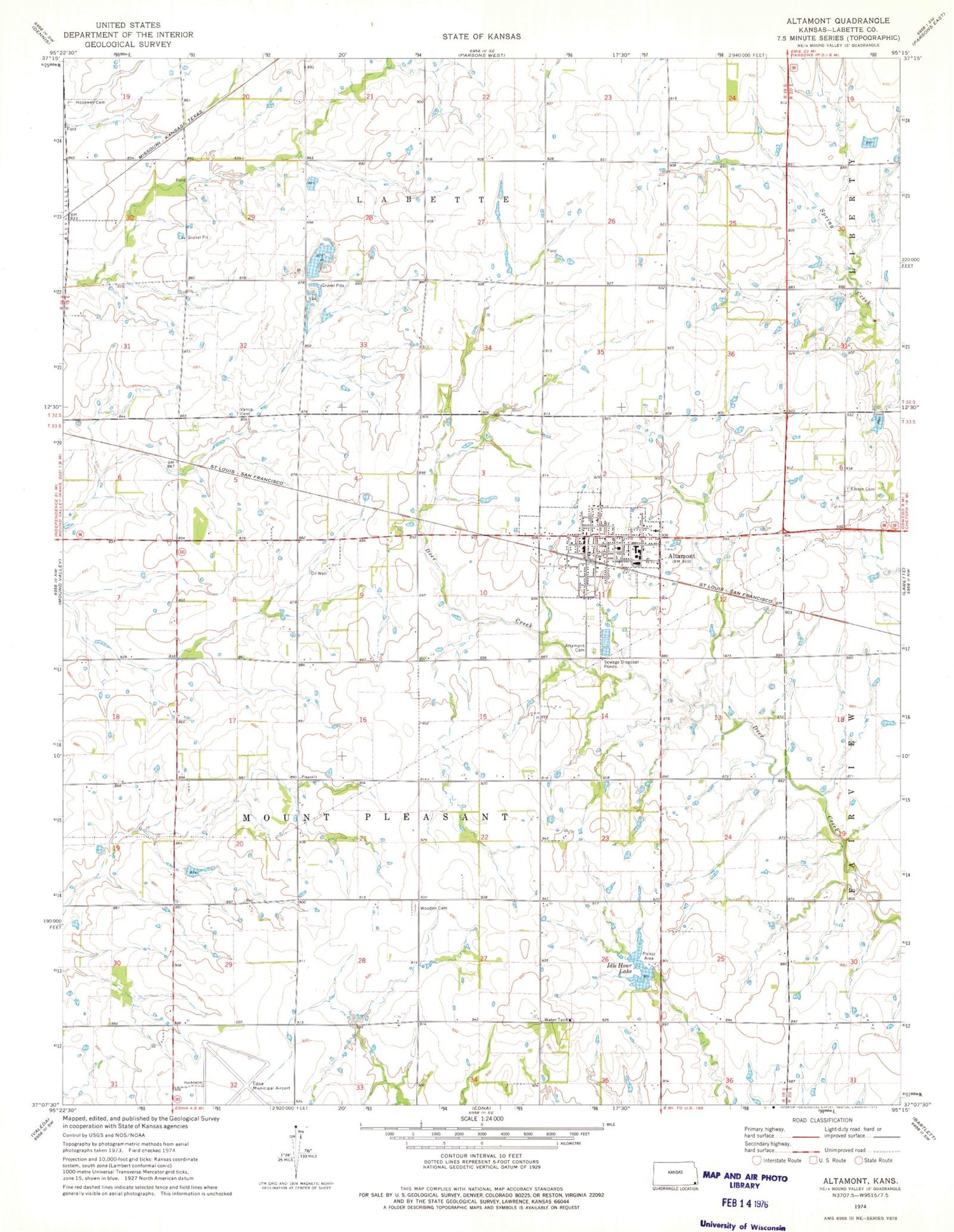
Classic USGS Altamont Kansas 7.5'x7.5' Topo Map
Couldn't load pickup availability
Historical USGS topographic quad map of Altamont in the state of Kansas. Map scale may vary for some years, but is generally around 1:24,000. Print size is approximately 24" x 27"
This quadrangle is in the following counties: Labette.
The map contains contour lines, roads, rivers, towns, and lakes. Printed on high-quality waterproof paper with UV fade-resistant inks, and shipped rolled.
Contains the following named places: Altamont, Altamont / Mount Pleasant Fire Department, Altamont Cemetery, Altamont Christian Church, Altamont City Hall, Altamont Dam, Altamont Grade School, Altamont Holiness Church, Altamont Police Department, Altamont Post Office, Altamont Public Library, Altamont Sewer Treatment Plant, Altamont United Methodist Church, Ballou School, Belleville School, City of Altamont, Edna Municipal Airport, Elston Cemetery, Elston School, First Baptist Church, Grace Baptist Church, Hiatt School, Hopewell Cemetery, Idle Hour Lake, Jamesville School, Labette County, Labette County High School, Labette County Highway Department, Noble School, Pioneer School, Rayburn School, Township of Mount Pleasant, Union School, Vance Cemetery, Wooden Cemetery, ZIP Code: 67330