MyTopo
Classic USGS Altamont Tennessee 7.5'x7.5' Topo Map
Couldn't load pickup availability
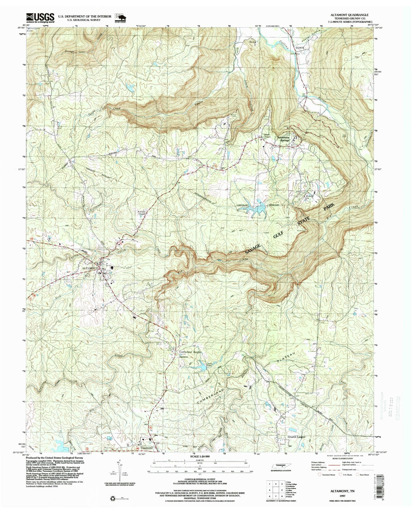
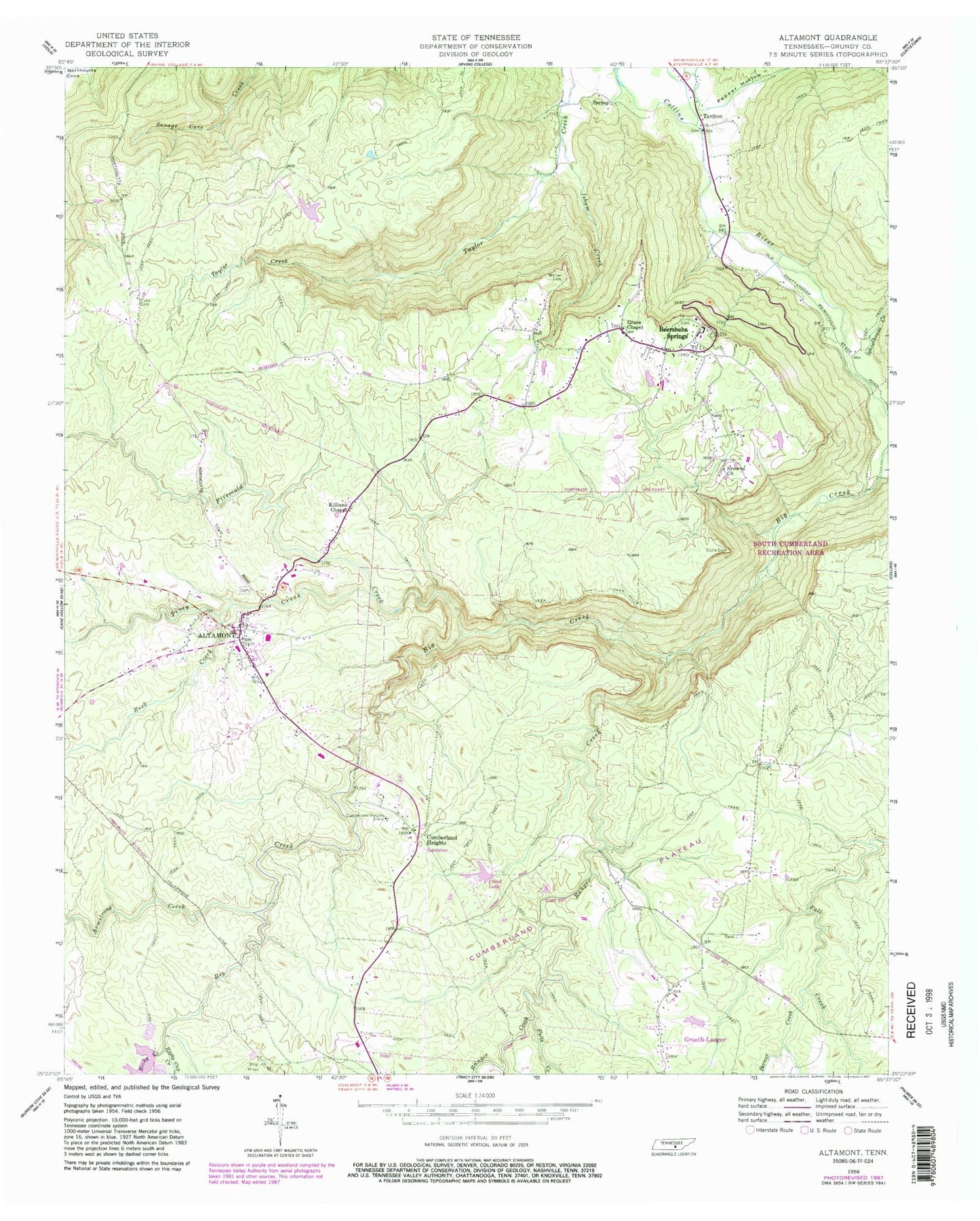
Historical USGS topographic quad map of Altamont in the state of Tennessee. Typical map scale is 1:24,000, but may vary for certain years, if available. Print size: 24" x 27"
This quadrangle is in the following counties: Grundy.
The map contains contour lines, roads, rivers, towns, and lakes. Printed on high-quality waterproof paper with UV fade-resistant inks, and shipped rolled.
Contains the following named places: Fults Cemetery, Fults Creek, Rocky Creek, Rusty Cup Creek, Utah School, Walker Cemetery, Whispering Pines School, Altamont, Armstrong Creek, Berner Creek, Big Creek, Browns Church, Cumberland Heights, Cumberland Heights Clinic, Firescald Creek, Grace Chapel, Gruetli Church, Isham Creek, Killians Chapel, Panhandle School, Pepper Hollow, Piney Creek, Ranger Creek, Rock Creek, Schoolhouse Creek, Parker Dam, Parker Lake, Carol Dam, Carol Lake, Beersheba Springs, Gruetli Gas Field, North Elementary School, Purdons (historical), Tarlton, Beersheba Springs Cemetery, Grace Chapel Cemetery, Morton Memorial Cemetery, Grundy County, Altamont Academy (historical), Altamont Baptist Church, Altamont Cemetery, The Church of Jesus Christ of Latter Day Saints, Grundy County Courthouse, Morton Memorial United Methodist Church, Stone Door, Tarlton School (historical), Swiss Colony Cemetery, Altamont Division (historical), Altamont Post Office, Beersheba Springs Post Office, Town of Altamont, Town of Beersheba Springs, Commissioner District 1, Beersheba Springs Volunteer Fire Department, Altamont Volunteer Fire Department, Grundy County Sheriff's Office