MyTopo
Classic USGS Alvada Ohio 7.5'x7.5' Topo Map
Couldn't load pickup availability
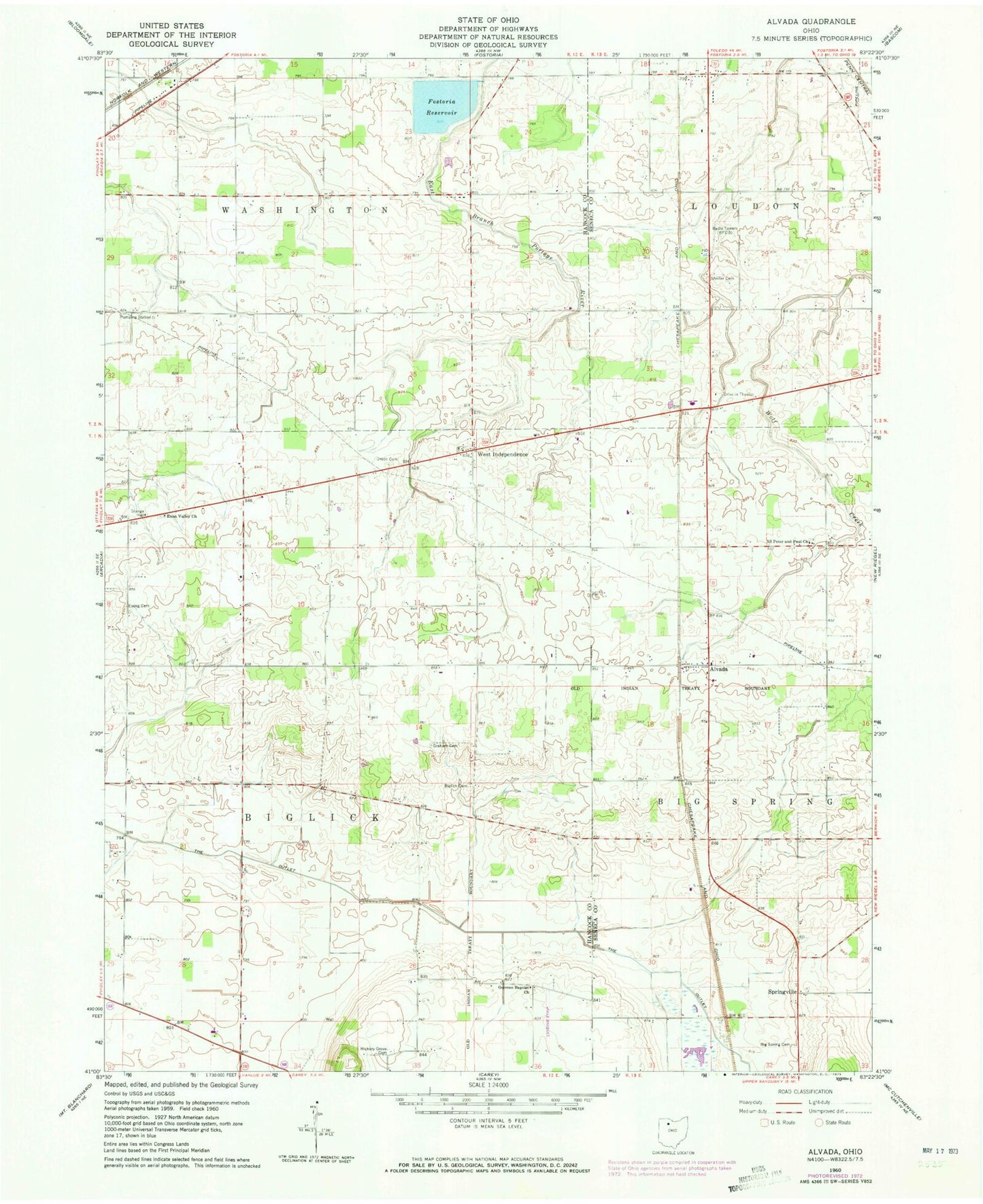
Historical USGS topographic quad map of Alvada in the state of Ohio. Map scale may vary for some years, but is generally around 1:24,000. Print size is approximately 24" x 27"
This quadrangle is in the following counties: Hancock, Seneca.
The map contains contour lines, roads, rivers, towns, and lakes. Printed on high-quality waterproof paper with UV fade-resistant inks, and shipped rolled.
Contains the following named places: Alvada, Alvada Post Office, Big Spring Cemetery, Biglick Cemetery, Diebleys Airport, Enon Valley Cemetery, Enon Valley Church, Ewing Cemetery, Fostoria Reservoir, Fostoria Upground Reservoir Dam, German Baptist Church, Graham Cemetery, Hickory Grove Cemetery, Lakeland Golf Course, Saint Peters Cemetery, Saints Peter and Paul Church, Sheller Cemetery, Springville, Springville Marsh State Natural Area, Springville Post Office, Stone Airport, Sunny Farms Landfill, The Outlet, Township of Biglick, Township of Washington, Union Cemetery, WBVI-FM (Fostoria), Wells Family Cemetery, West Independence, West Independence Post Office, Weston Airport, WFOB-AM (Fostoria), ZIP Code: 44802