MyTopo
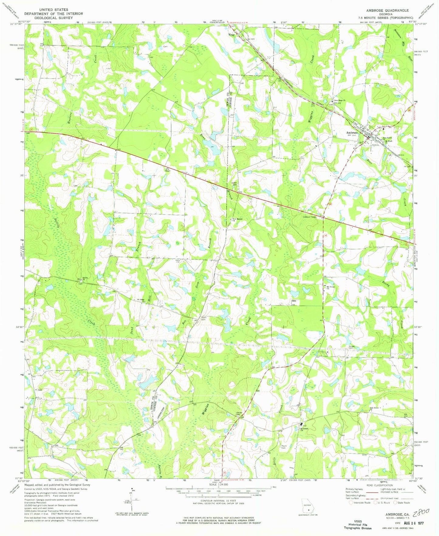
Classic USGS Ambrose Georgia 7.5'x7.5' Topo Map
Couldn't load pickup availability
Historical USGS topographic quad map of Ambrose in the state of Georgia. Map scale may vary for some years, but is generally around 1:24,000. Print size is approximately 24" x 27"
This quadrangle is in the following counties: Coffee, Irwin.
The map contains contour lines, roads, rivers, towns, and lakes. Printed on high-quality waterproof paper with UV fade-resistant inks, and shipped rolled.
Contains the following named places: Ambrose, Ambrose Division, Ambrose Elementary School, Ambrose Post Office, Bee Gum Branch, Bens Branch, C Paulk Lake, C Paulk Lake Dam, City of Ambrose, Coffee County Fire Rescue Department Station 7, Eva Chapel, Evans Lake, Evans Lake Dam, Evans Lake North, Harper Cemetery, Holt Division, Hunters Creek, Jowers Lake South, Jowers Lake South Dam, Lax Community Cemetery, Lax Community Church, Lott Lake, Lott Lake Dam, Mcwhorter Lake, Mcwhorter Lake Dam, Mount Ebell Church, Mount Union Cemetery, Mount Union Church, New Beulah Church, New Hope Cemetery, New Hope Church, New Salem Church, Oak Grove Church, Paulk Cemetery, Paulk Lake, Paulk Lake Dam, Paulk Lake North, Paulk Lake North Dam, Paulk Lake South, Paulk Lake South Dam, Pope Lake, Pope Lake Dam, Saint James Church, Saint Johns Church, Sand Hill Branch, Satilla Cemetery, Satilla Church, Satilla Creek, Smith Cemetery, Smith Lake, Smith Lake Dam, Wiggins Creek, Wray, Wray Post Office, ZIP Codes: 31512, 31798