MyTopo
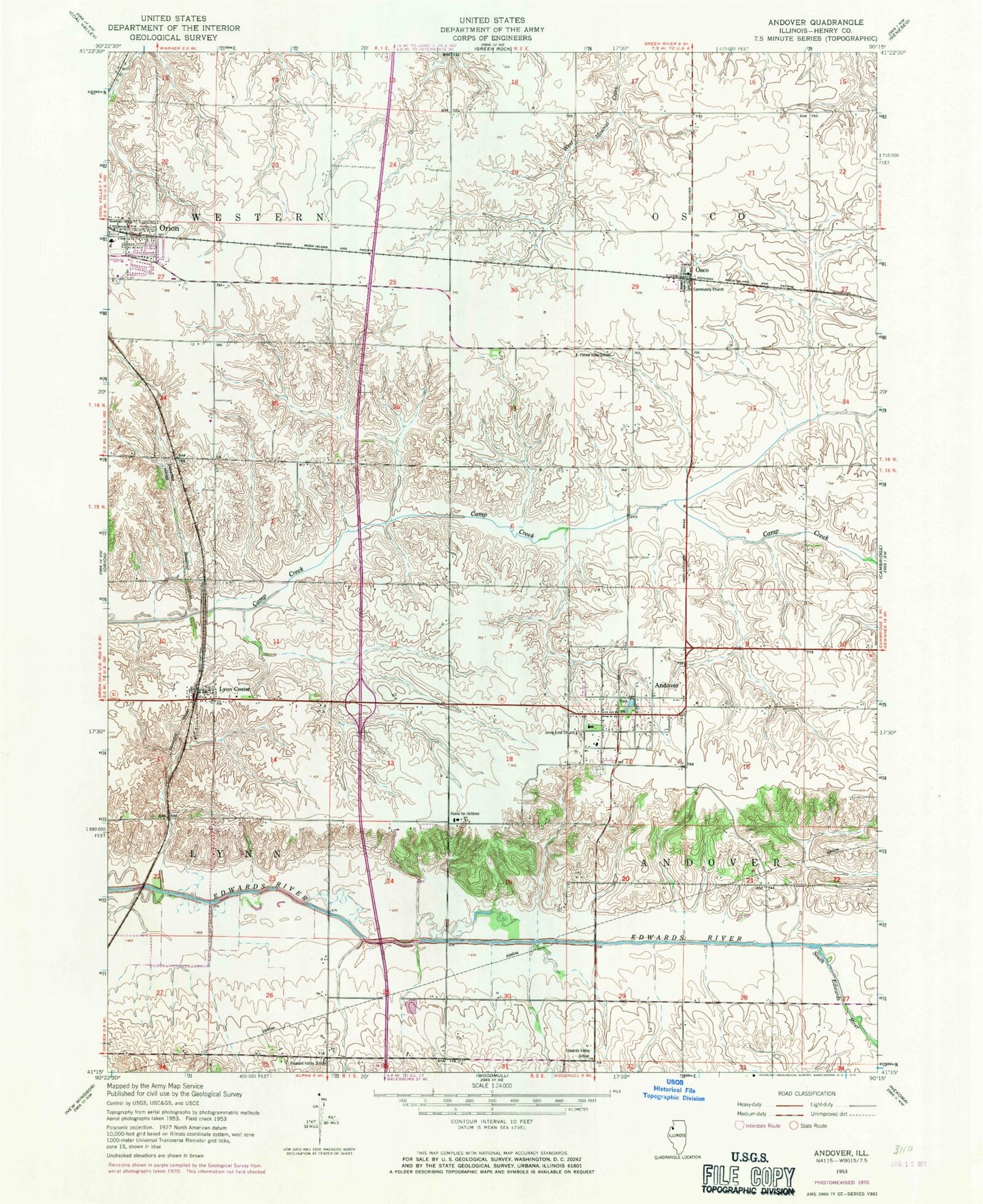
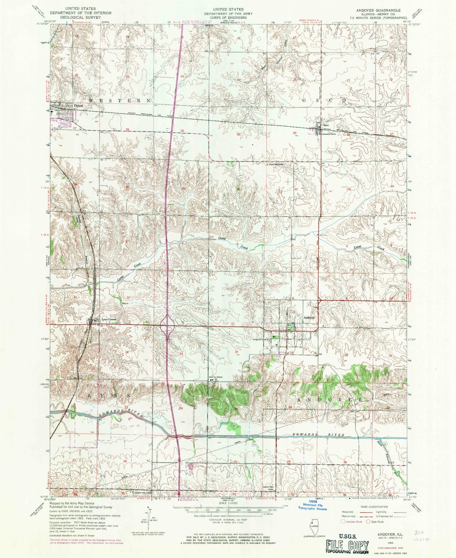
Classic USGS Andover Illinois 7.5'x7.5' Topo Map
Couldn't load pickup availability
Historical USGS topographic quad map of Andover in the state of Illinois. Map scale may vary for some years, but is generally around 1:24,000. Print size is approximately 24" x 27"
This quadrangle is in the following counties: Henry.
The map contains contour lines, roads, rivers, towns, and lakes. Printed on high-quality waterproof paper with UV fade-resistant inks, and shipped rolled.
Contains the following named places: Andover, Andover Post Office, Andover Township Cemetery, Andover United Methodist Church, Augusiana Lutheran Church, C R Hanna Elementary School, Denton Farm, Edwards Valley School, Forest View School, Harmony School, Jenny Lind Chapel, Lake Park, Love Park, Lutheran Home, Lynn Center, Lynn Center Cemetery, Lynn Center Census Designated Place, Lynn Center Post Office, Maple Hill School, Orion High School, Orion Lutheran Cemetery, Orion Middle School, Osco, Osco Census Designated Place, Osco Center School, Osco Community Church, Osco Community Fire Protection District, Osco Post Office, Our Lady of Peace Catholic Church, Pleasant Valley School, Presbyterian Cemetery, Saint Paul Lutheran Church, South Edwards River, Township of Andover, Township of Osco, Village of Andover, ZIP Codes: 61262, 61274