MyTopo
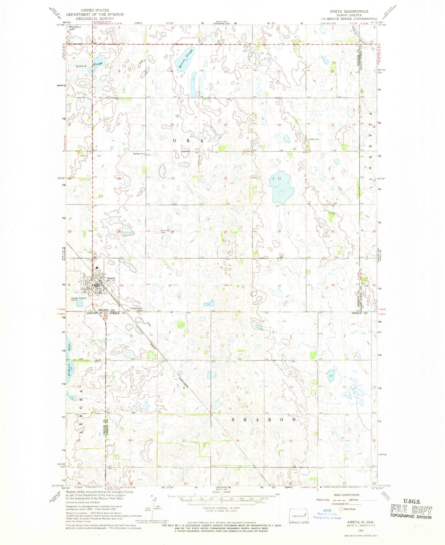
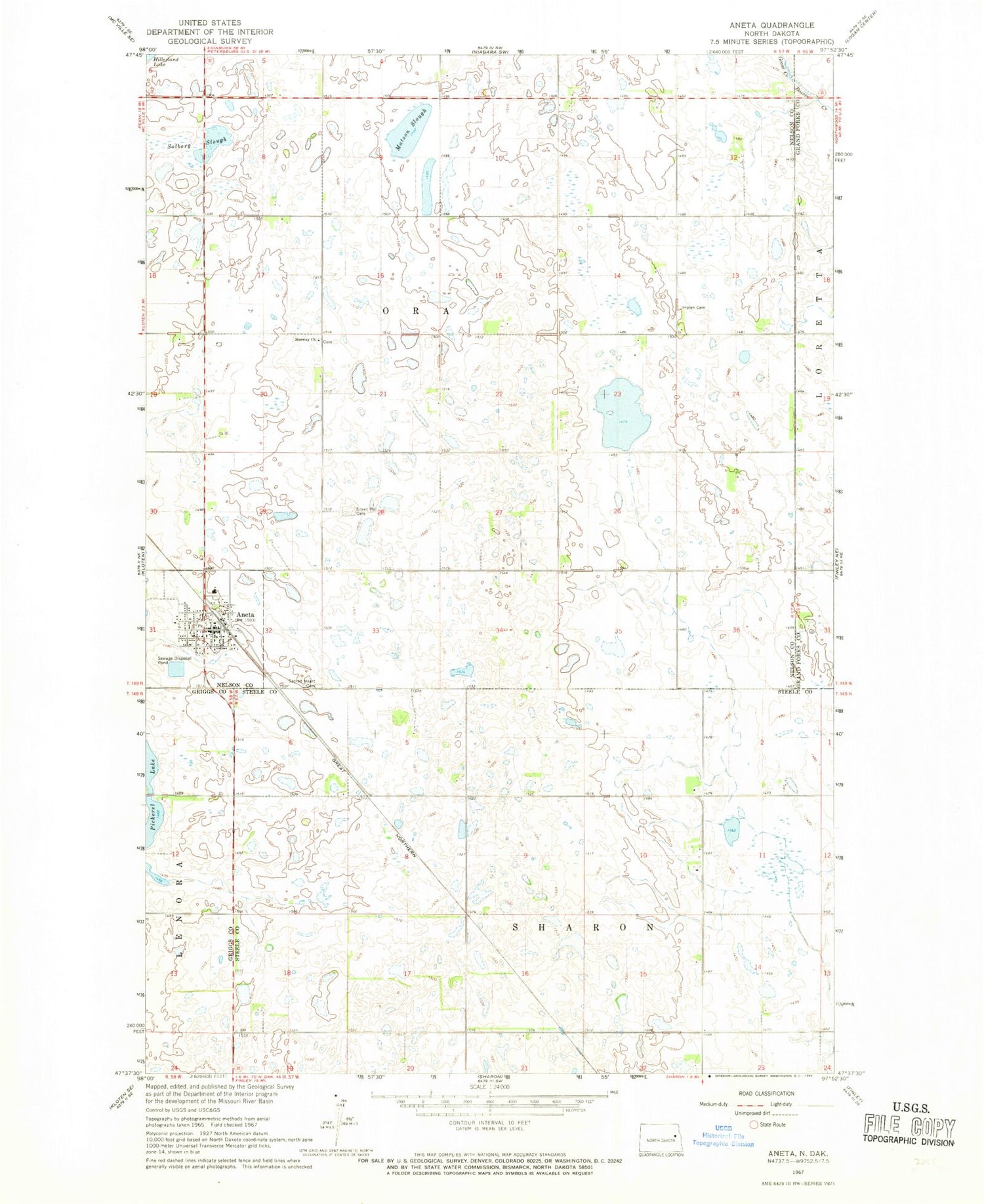
Classic USGS Aneta North Dakota 7.5'x7.5' Topo Map
Couldn't load pickup availability
Historical USGS topographic quad map of Aneta in the state of North Dakota. Map scale may vary for some years, but is generally around 1:24,000. Print size is approximately 24" x 27"
This quadrangle is in the following counties: Grand Forks, Griggs, Nelson, Steele.
The map contains contour lines, roads, rivers, towns, and lakes. Printed on high-quality waterproof paper with UV fade-resistant inks, and shipped rolled.
Contains the following named places: Aneta, Aneta Ambulance Service, Aneta City Fire Department, Aneta Parkview Health Center, Aneta Post Office, Aneta Public Library, City of Aneta, Goose Creek, Matson Slough, Norway Church, Norway Lutheran Cemetery, Ora Town Hall, Sacred Heart Cemetery, Silent Hill Cemetery, Solberg Slough, Sundahl Cemetery, Township of Hoiland, Township of Ora, Township of Sharon