MyTopo
Classic USGS Annawan Illinois 7.5'x7.5' Topo Map
Couldn't load pickup availability
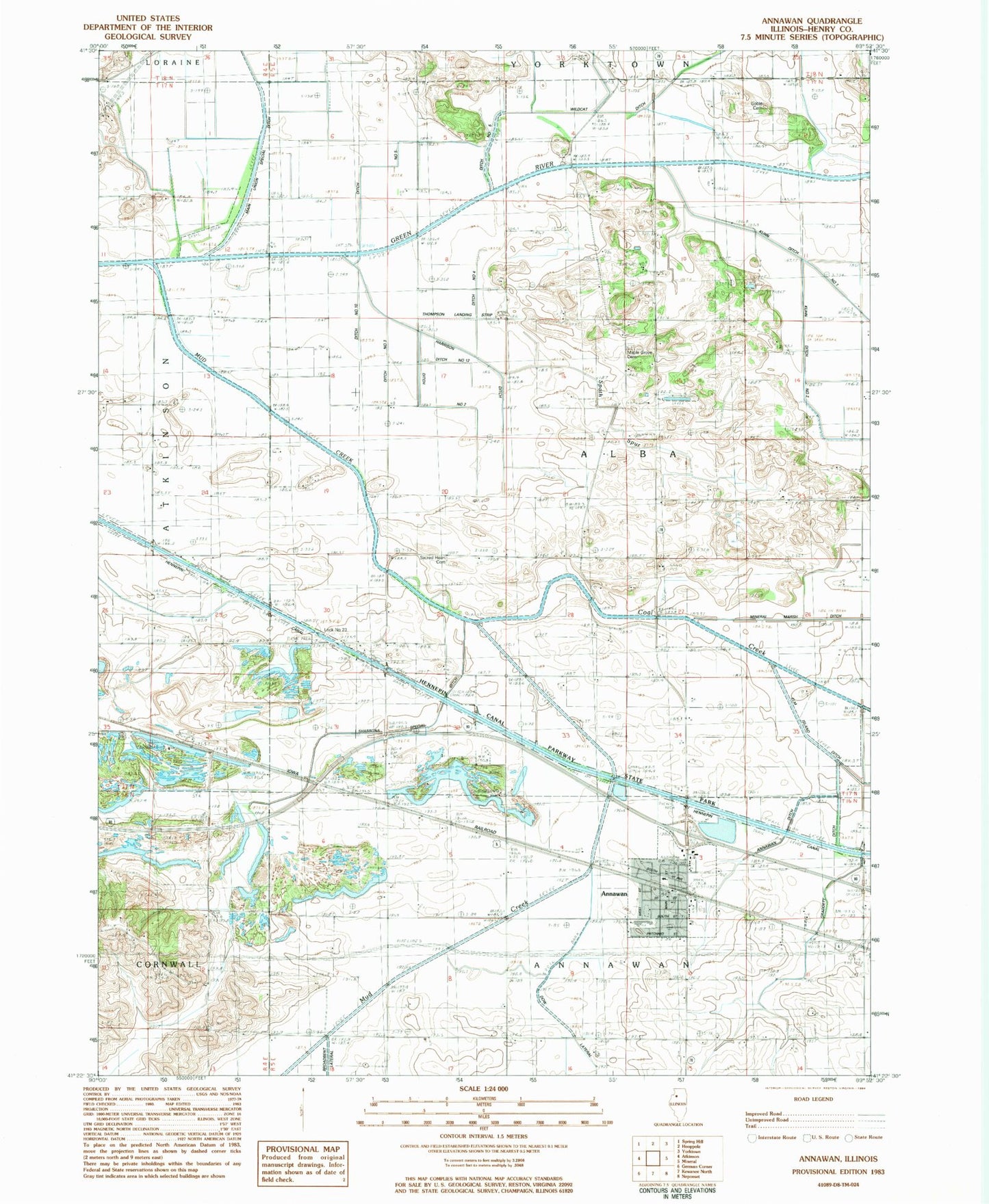
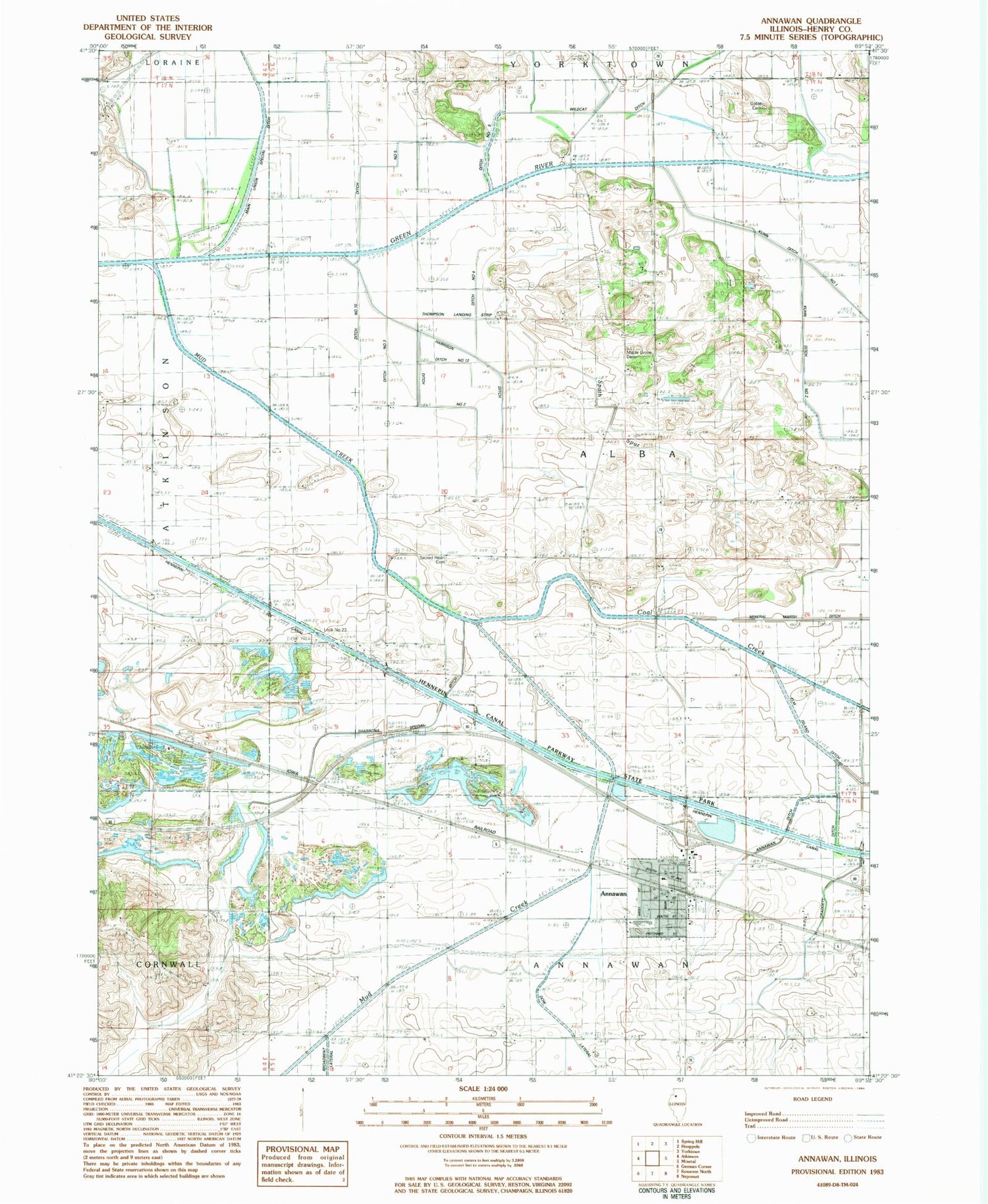
Historical USGS topographic quad map of Annawan in the state of Illinois. Map scale may vary for some years, but is generally around 1:24,000. Print size is approximately 24" x 27"
This quadrangle is in the following counties: Henry.
The map contains contour lines, roads, rivers, towns, and lakes. Printed on high-quality waterproof paper with UV fade-resistant inks, and shipped rolled.
Contains the following named places: Annawan, Annawan - Alba Fire Protection District, Annawan Ditch, Annawan Grade School, Annawan High School, Annawan Post Office, Annawan United Methodist Church, Baker School, Coal Creek, Ditch Number 10, Ditch Number 2, Ditch Number 3, Ditch Number 4, Ditch Number 5, Dow Lateral, Elm Island Ditch, Ferguson School, Goble Cemetery, Graddett Ditch, Hulslander School, Kedron, Kipp School, Kuhn Ditch Number 1, Kuhn Ditch Number 2, Lock Number 23, Maple Grove Cemetery, Maple Grove School, McLaughlin School, Midland Mine, Mineral Marsh Nature Preserve, Mud Creek, Parker School, Pritchard School, Sacred Heart Cemetery, Sacred Heart Church, Shabbona Special Ditch, Spath Spur, Thompson Airport, Town of Annawan, Township of Alba, ZIP Code: 61234