MyTopo
Classic USGS Arabela New Mexico 7.5'x7.5' Topo Map
Couldn't load pickup availability
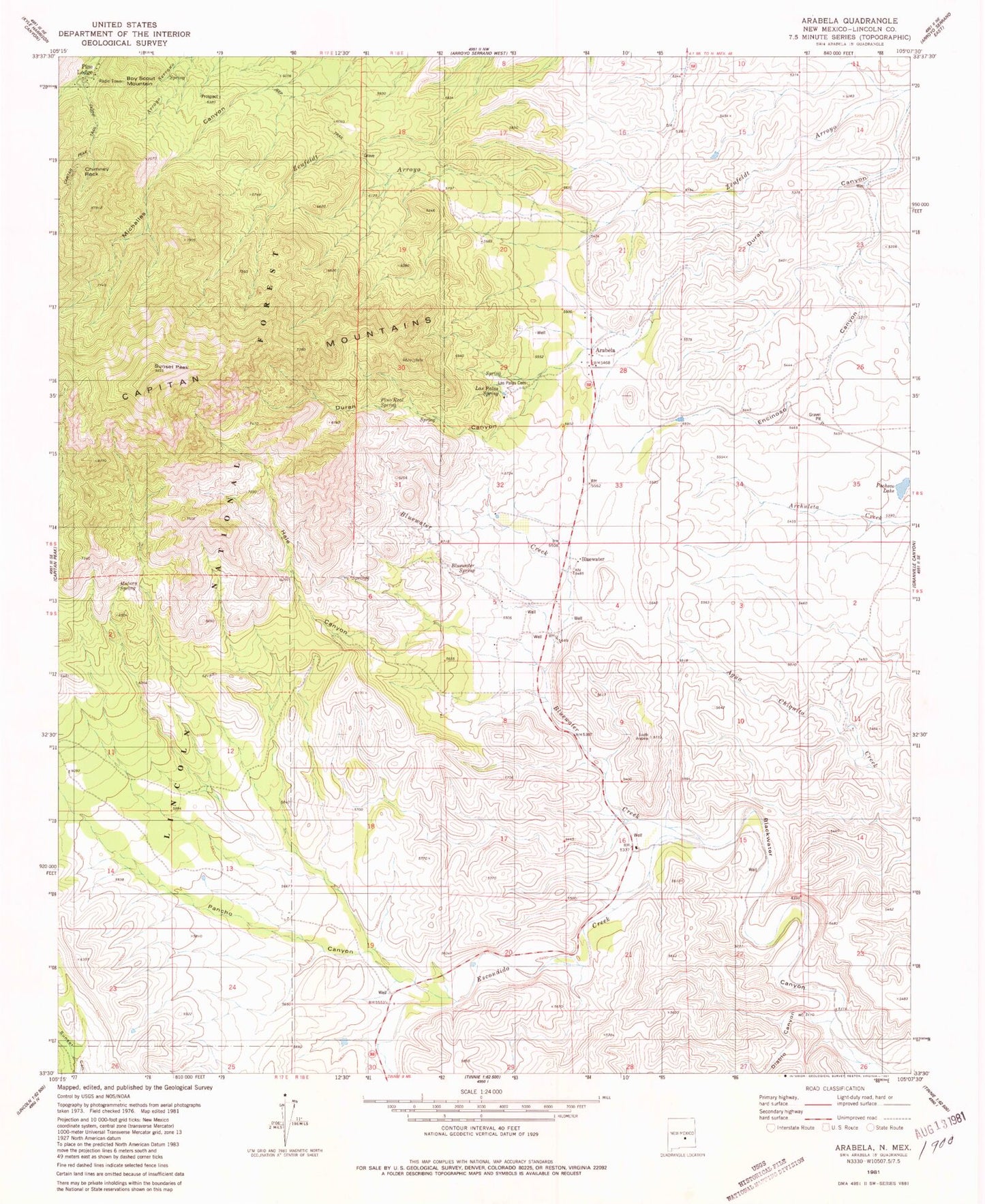
Historical USGS topographic quad map of Arabela in the state of New Mexico. Typical map scale is 1:24,000, but may vary for certain years, if available. Print size: 24" x 27"
This quadrangle is in the following counties: Lincoln.
The map contains contour lines, roads, rivers, towns, and lakes. Printed on high-quality waterproof paper with UV fade-resistant inks, and shipped rolled.
Contains the following named places: Arabela, Bluewater, Bluewater Spring, Boy Scout Mountain, Chimney Rock, Diablo Canyon, Duran Canyon, Encinoso Canyon, Escondido Creek, Hale Canyon, Pacheco Lake, Pancho Canyon, Pine Lodge, Pino Real Spring, Sunset Peak, Whitaker Ranch, Matney Spring, Arabela Mines Incorporated Prospect, Bluewater Elementary School, 10133 Water Well, Arabela Weather Station, Pine Lodge Post Office (historical), Arabela Post Office (historical), Las Palas Spring, Las Palas Cemetery, Arabela Fire Department