MyTopo
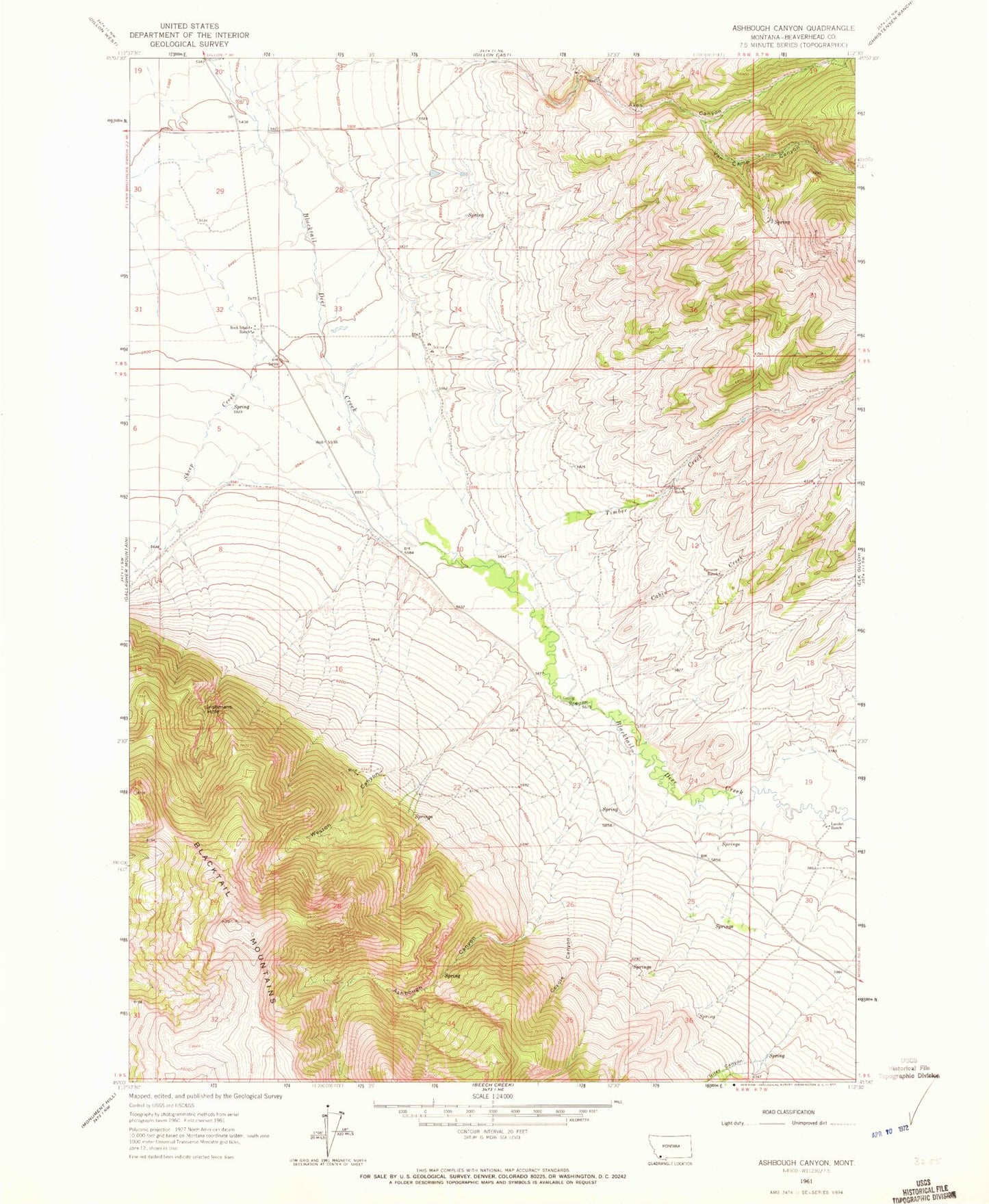
Classic USGS Ashbough Canyon Montana 7.5'x7.5' Topo Map
Couldn't load pickup availability
Historical USGS topographic quad map of Ashbough Canyon in the state of Montana. Map scale may vary for some years, but is generally around 1:24,000. Print size is approximately 24" x 27"
This quadrangle is in the following counties: Beaverhead.
The map contains contour lines, roads, rivers, towns, and lakes. Printed on high-quality waterproof paper with UV fade-resistant inks, and shipped rolled.
Contains the following named places: 08S08W20ACCA02 Well, 08S08W20DDCC01 Well, 08S08W28CBDA01 Well, 08S08W29CDAD01 Well, 08S08W30AAAA01 Well, 08S08W32CCAB01 Well, 08S08W32DACA01 Well, 08S08W32DACA02 Well, 08S08W32DBBA01 Well, 08S08W33CDBB01 Well, 09S08W04CAAC01 Well, 09S08W10BCDC01 Well, 09S08W14CDAD01 Well, 09S08W14CDAD02 Well, Ashbough Canyon, Axes Canyon, Axes Canyon Mine, Blacktail Spring, Brown Ranch, Cabin Creek, Conover Ranch, Coyote Canyon, Ground Hog Mine, Irishmans Hole, Landon Ranch, NE NE Section 26 Mine, Nevada Mine, Poindexter, Poindexter Cemetery, Poindexter School, Riley Canyon, Rock Island Ranch, Smith Dillon Mine, Timber Creek, Van Camp Canyon, Weston Canyon