MyTopo
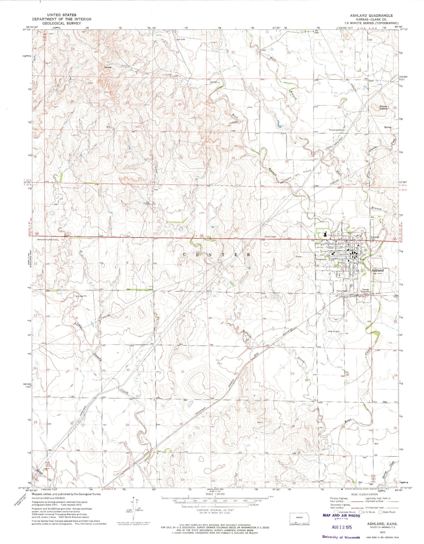
Classic USGS Ashland Kansas 7.5'x7.5' Topo Map
Couldn't load pickup availability
Historical USGS topographic quad map of Ashland in the state of Kansas. Map scale may vary for some years, but is generally around 1:24,000. Print size is approximately 24" x 27"
This quadrangle is in the following counties: Clark.
The map contains contour lines, roads, rivers, towns, and lakes. Printed on high-quality waterproof paper with UV fade-resistant inks, and shipped rolled.
Contains the following named places: Ashland, Ashland City Hall, Ashland Community Center, Ashland Country Club, Ashland Elementary School, Ashland Fire Department, Ashland Health Center, Ashland Junior High School, Ashland Junior Senior High School, Ashland Library, Ashland Municipal Power Plant, Ashland Oil Field, Ashland Post Office, Ashland United Methodist Church, Ashland Wastewater Treatment Facility, Casino Creek, City of Ashland, Clark County, Clark County Courthouse, Clark County Fairgrounds, Clark County Health Department, Clark County Jail, Clark County Sheriff's Office, East Branch Bear Creek, Farmers Co - Operative Grain Elevator Number 2, First Baptist Church, First Christian Church, First Church of God, First Presbyterian Church, Harold Krier Field, Lighthouse Assembly of God Church, Mount Casino, Pioneer - Krier Museum, Redhole Creek, Saint Joseph's Catholic Church, Township of Center, West Branch Bear Creek, ZIP Code: 67831