MyTopo
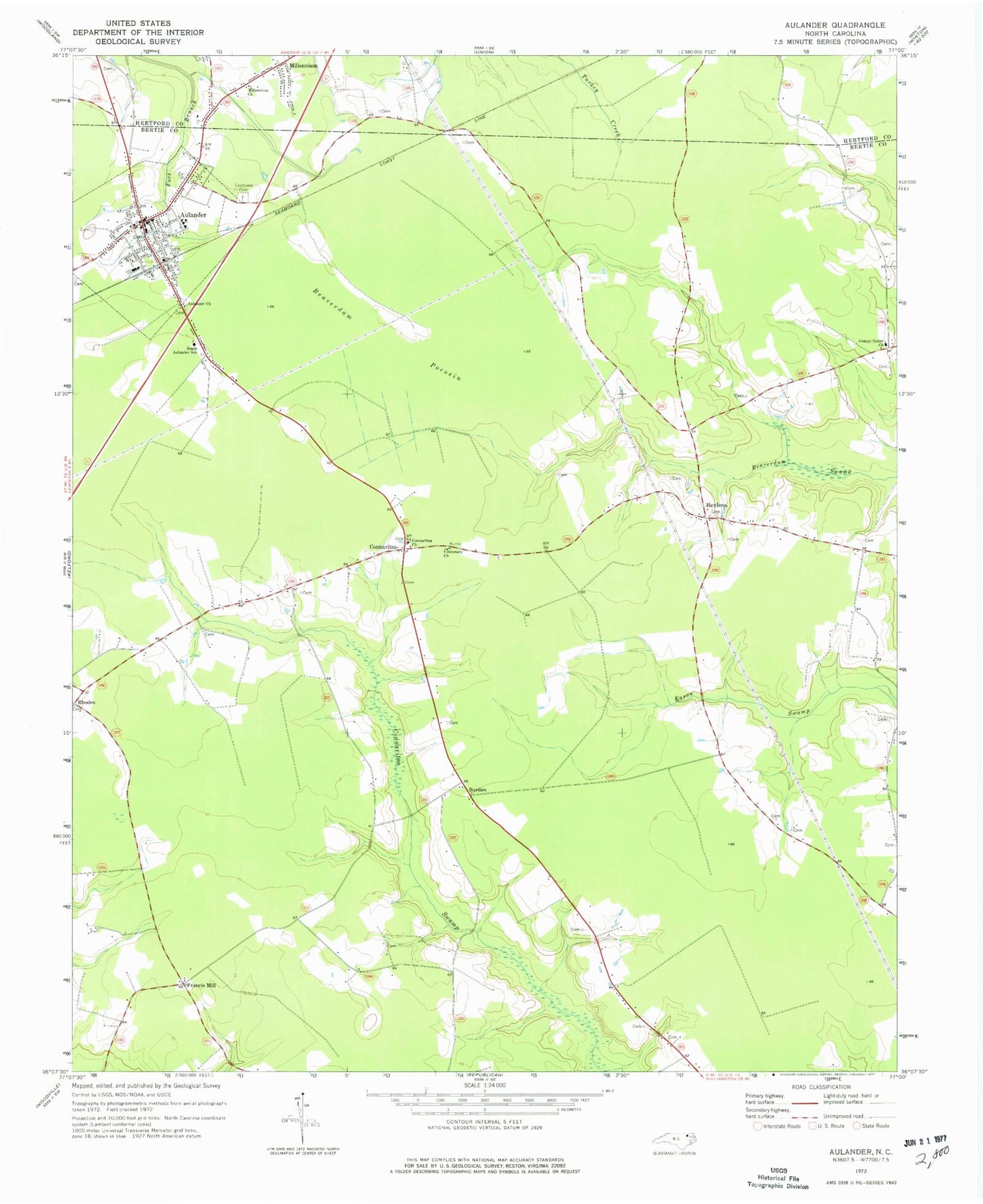
Classic USGS Aulander North Carolina 7.5'x7.5' Topo Map
Couldn't load pickup availability
Historical USGS topographic quad map of Aulander in the state of North Carolina. Map scale may vary for some years, but is generally around 1:24,000. Print size is approximately 24" x 27"
This quadrangle is in the following counties: Bertie, Hertford.
The map contains contour lines, roads, rivers, towns, and lakes. Printed on high-quality waterproof paper with UV fade-resistant inks, and shipped rolled.
Contains the following named places: Aulander, Aulander Church, Aulander Police Department, Aulander Post Office, Aulander Rescue Squad, Beaverdam Pocosin, Burden, Center Grove Church, Conconary Church, Connaritsa, Connaritsa Church, Connaritsa Pocosin, Eastview Cemetery, Francis Mill, Hearts Delight Pocosin, Hexlena, Metropolitan Interdenominational Church of God, Millennium, Millennium Church, Millennium Fire Department, Rhodes, South Aulander School, Town of Aulander, Township of Mitchell, ZIP Code: 27805