
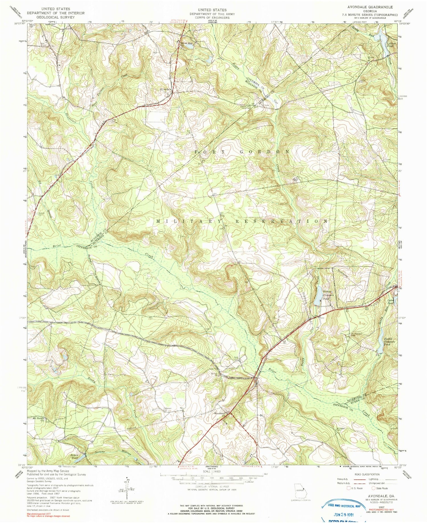
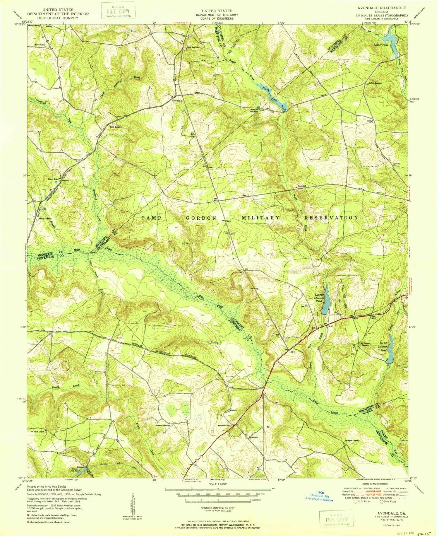
MyTopo
Classic USGS Avondale Georgia 7.5'x7.5' Topo Map
Couldn't load pickup availability
Historical USGS topographic quad map of Avondale in the state of Georgia. Map scale may vary for some years, but is generally around 1:24,000. Print size is approximately 24" x 27"
This quadrangle is in the following counties: Burke, Columbia, Jefferson, McDuffie, Richmond.
The map contains contour lines, roads, rivers, towns, and lakes. Printed on high-quality waterproof paper with UV fade-resistant inks, and shipped rolled.
Contains the following named places: Adams Cemetery, Anderson School, Arrington Cemetery, Avington School, Avondale, Avret Cemetery, Boggy Gut Creek, Burch Mill, Burch Mill Pond, Euclid Claussen Pond, Euclid Claussen Pond Dam, George Claussen Pond, George Claussen Pond Dam, Hard Fortune Creek, Headstall Creek, James Pond, Jones Chapel, Lake Inez, Leitner Cemetery, Leitner Pond, Linwood Church, Litner Mill, Little Sandy Run Creek, Luckie Grove School, McNair School, Mount Horeb Cemetery, Mount Horeb Church, Mount Pleasant Cemetery, Mount Pleasant Church, Neal Cemetery, Patterson Bridge, Patterson Cemetery, Phillips School, Postoak School, Reeves Cemetery, Reeves Family Cemetery, Reeves School, Sandy Run Creek, Silver Run Cemetery, Silver Run Church, Smith Cemetery, Walker Cemetery, WCES-TV (Wrens), Woodland Cemetery, Woodland Church, Woodland School, ZIP Code: 30818


