MyTopo
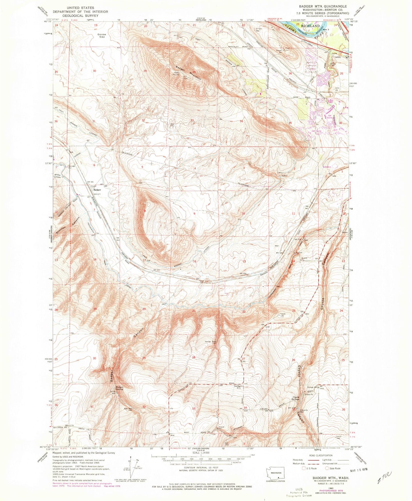
Classic USGS Badger Mountain Washington 7.5'x7.5' Topo Map
Couldn't load pickup availability
Historical USGS topographic quad map of Badger Mountain in the state of Washington. Map scale may vary for some years, but is generally around 1:24,000. Print size is approximately 24" x 27"
This quadrangle is in the following counties: Benton.
The map contains contour lines, roads, rivers, towns, and lakes. Printed on high-quality waterproof paper with UV fade-resistant inks, and shipped rolled.
Contains the following named places: Badger, Badger Canyon, Badger Mountain, Badger Spring, Benton County Fire District 1 Station 140, Columbia Canal, Coyote Springs, East Badger Lateral, Edwards Well, Erie, Goose Gap, Meadow Springs Dam, Meadow Springs Reservoir, Richland Fire and Emergency Services Station 72, Richland-Kennewick Division, Root Well, Scouten Canyon, Sheep Canyon, Sunset View Elementary School, West Badger Lateral, Youngs Well, ZIP Code: 99338