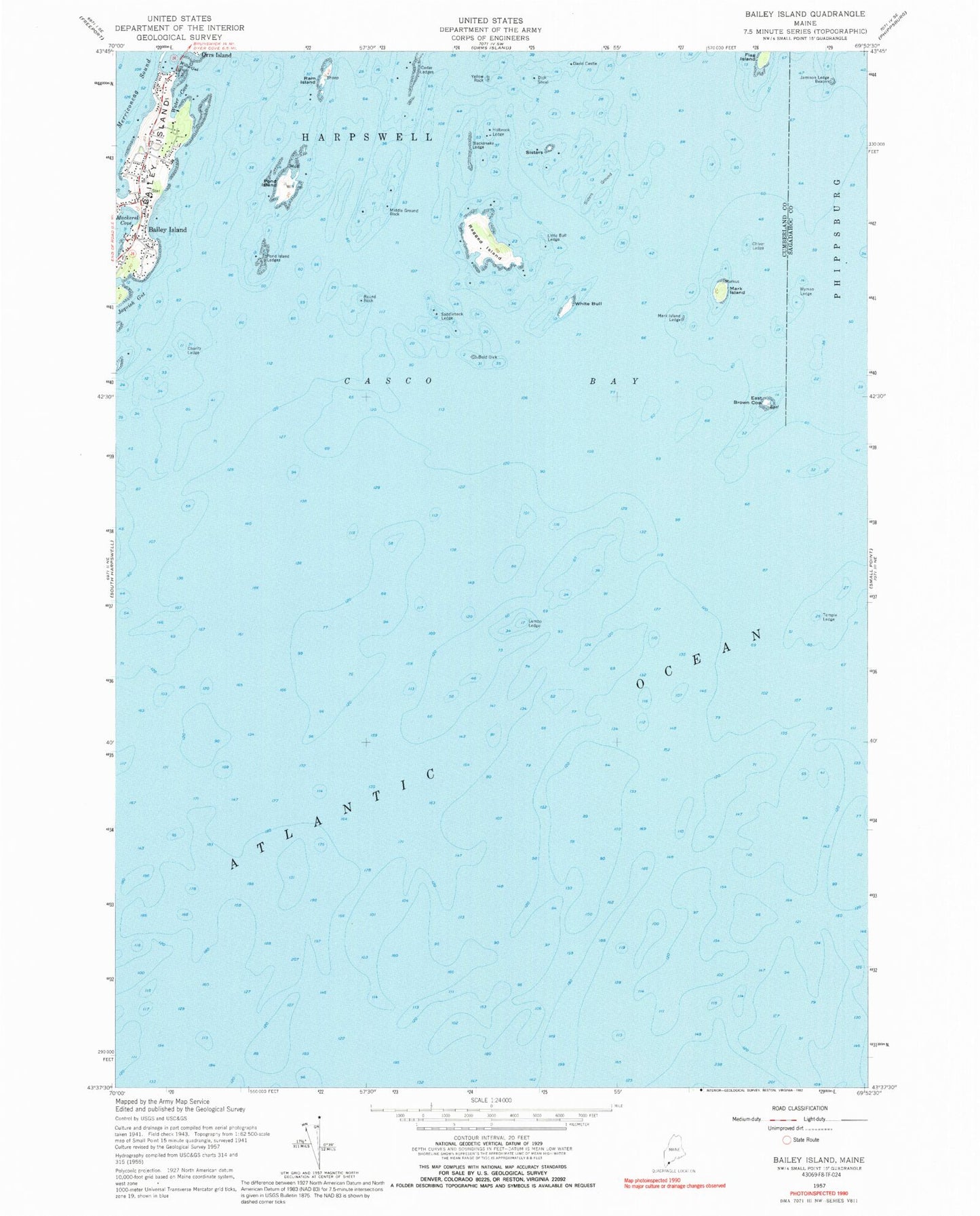
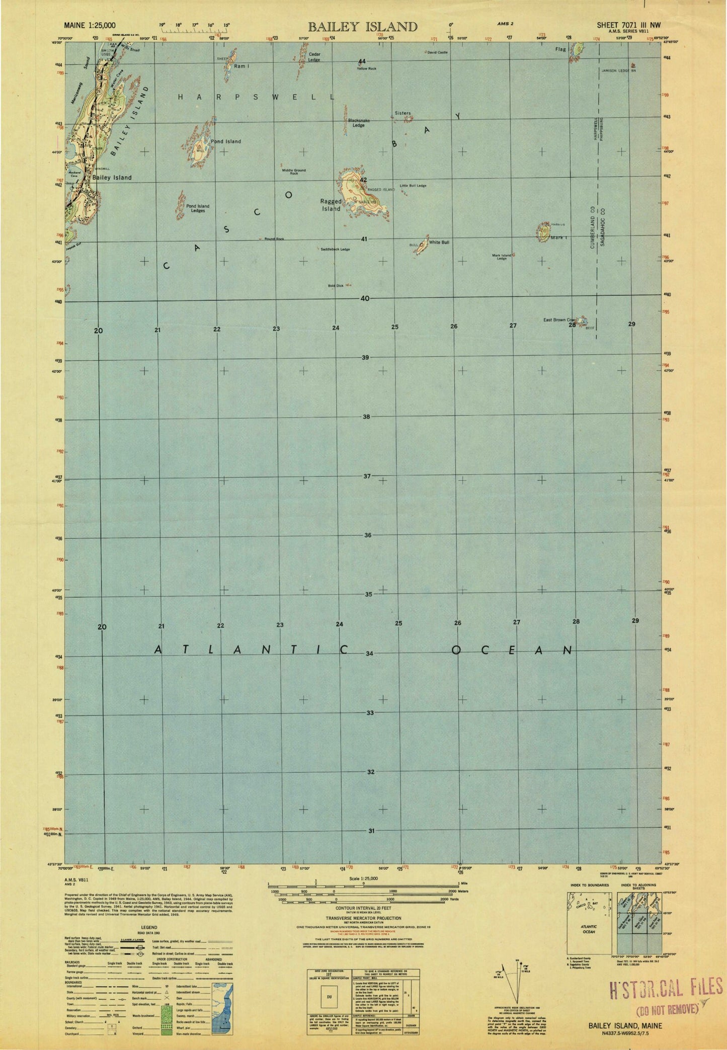
MyTopo
Classic USGS Bailey Island Maine 7.5'x7.5' Topo Map
Couldn't load pickup availability
Historical USGS topographic quad map of Bailey Island in the state of Maine. Map scale may vary for some years, but is generally around 1:24,000. Print size is approximately 24" x 27"
This quadrangle is in the following counties: Cumberland, Sagadahoc.
The map contains contour lines, roads, rivers, towns, and lakes. Printed on high-quality waterproof paper with UV fade-resistant inks, and shipped rolled.
Contains the following named places: Bailey Island, Bailey Island Cemetery, Bailey Island Cobwork Bridge, Bailey Island Post Office, Blacksnake Ledge, Bold Dick, Cedar Ledges, Charity Ledge, Chiver Ledge, David Castle, Dick Shoal, East Brown Cow, Holbrook Ledge, Jamison Ledge, Little Bull Ledge, Littlejohn Rock, Lumbo Ledge, Mackerel Cove Marina, Mark Island, Mark Island Ledge, Middle Ground, Middle Ground Rock, Pond Island, Pond Island Ledges, Ragged Island, Ram Island, Round Rock, Saddleback Ledge, Sisters Ground, Sisters Island, Temple Ledge, Town of Harpswell, Water Cove, White Bull, Wills Gut, WYFP-FM (Harpswell), Wyman Ledge, Yellow Rock, ZIP Code: 04003