
MyTopo
Classic USGS Beaver Creek Illinois 7.5'x7.5' Topo Map
Couldn't load pickup availability
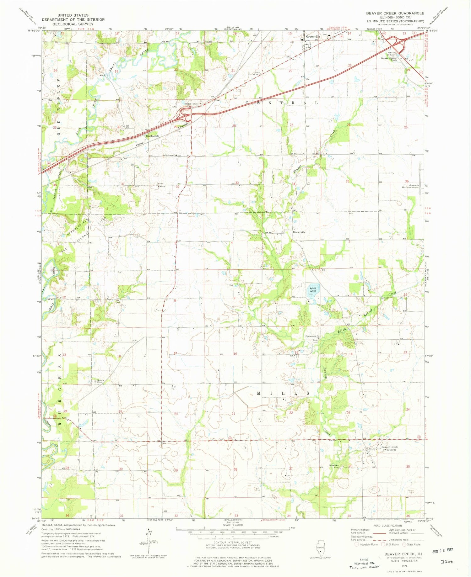
Historical USGS topographic quad map of Beaver Creek in the state of Illinois. Map scale may vary for some years, but is generally around 1:24,000. Print size is approximately 24" x 27"
This quadrangle is in the following counties: Bond.
The map contains contour lines, roads, rivers, towns, and lakes. Printed on high-quality waterproof paper with UV fade-resistant inks, and shipped rolled.
Contains the following named places: Beaver Creek, Campground Church, Drake School, Dudleyville, East Fork Shoal Creek, Federal Correctional Institution Greenville, Greene Cemetery, Harris School, Hunter School, Lake Lola, Lindly School, Little Beaver Creek, Marcoot Jersey Farm, Metcalf School, Mount Carmel Church, Potts School, Ready View Farms, Rolling Lawns Farms, Shawnee School, Shoal Creek Farm, Shoal School, Smith Grove Cemetery, Smith Grove Church, Smith Grove School, Stubblefield, Stubblefield Gas Storage Field, Township of Central, Township of Mills, Wisetown Cemetery


