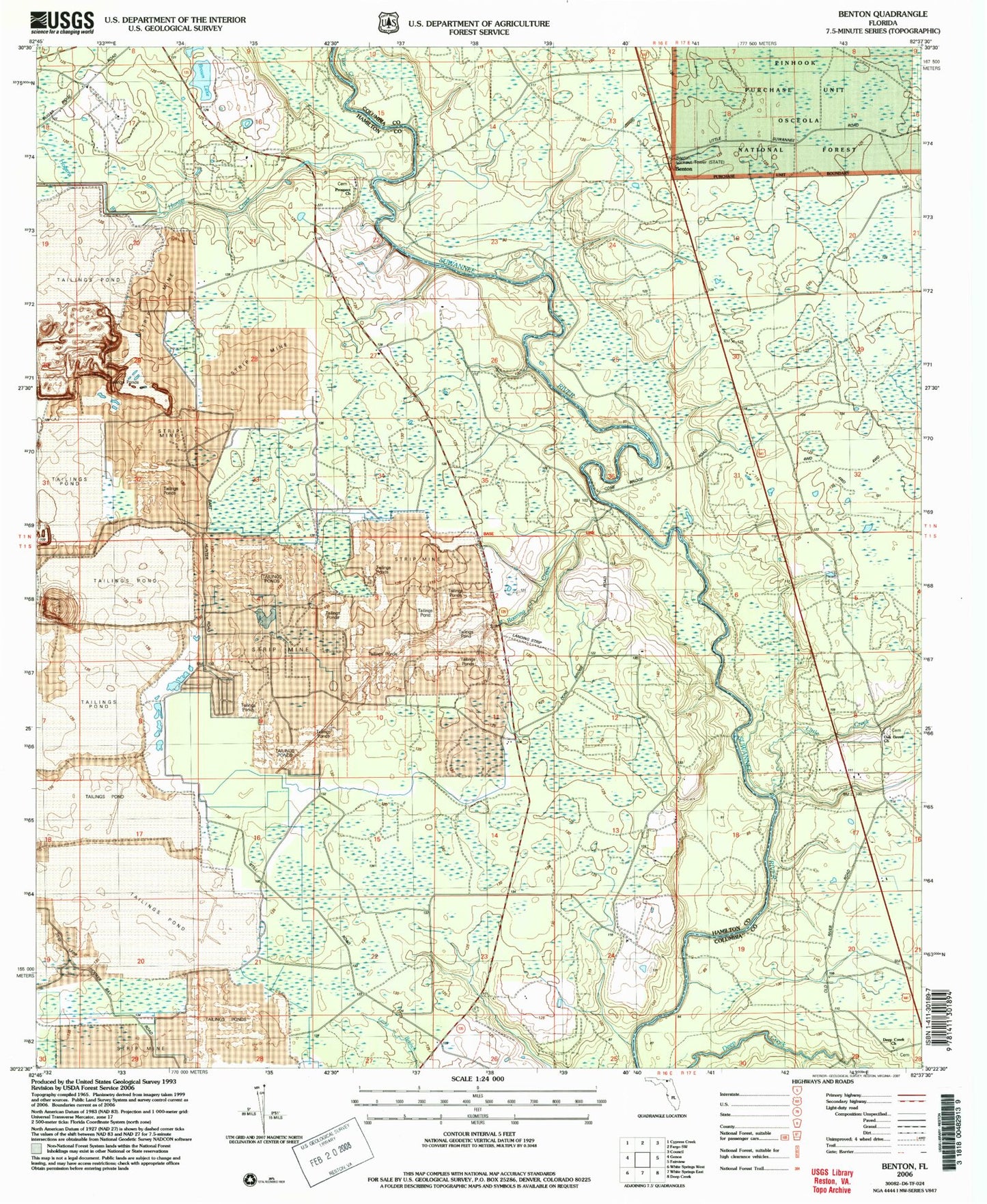
MyTopo
Classic USGS Benton Florida 7.5'x7.5' Topo Map
Regular price
$16.95
Regular price
Sale price
$16.95
Unit price
per
Couldn't load pickup availability
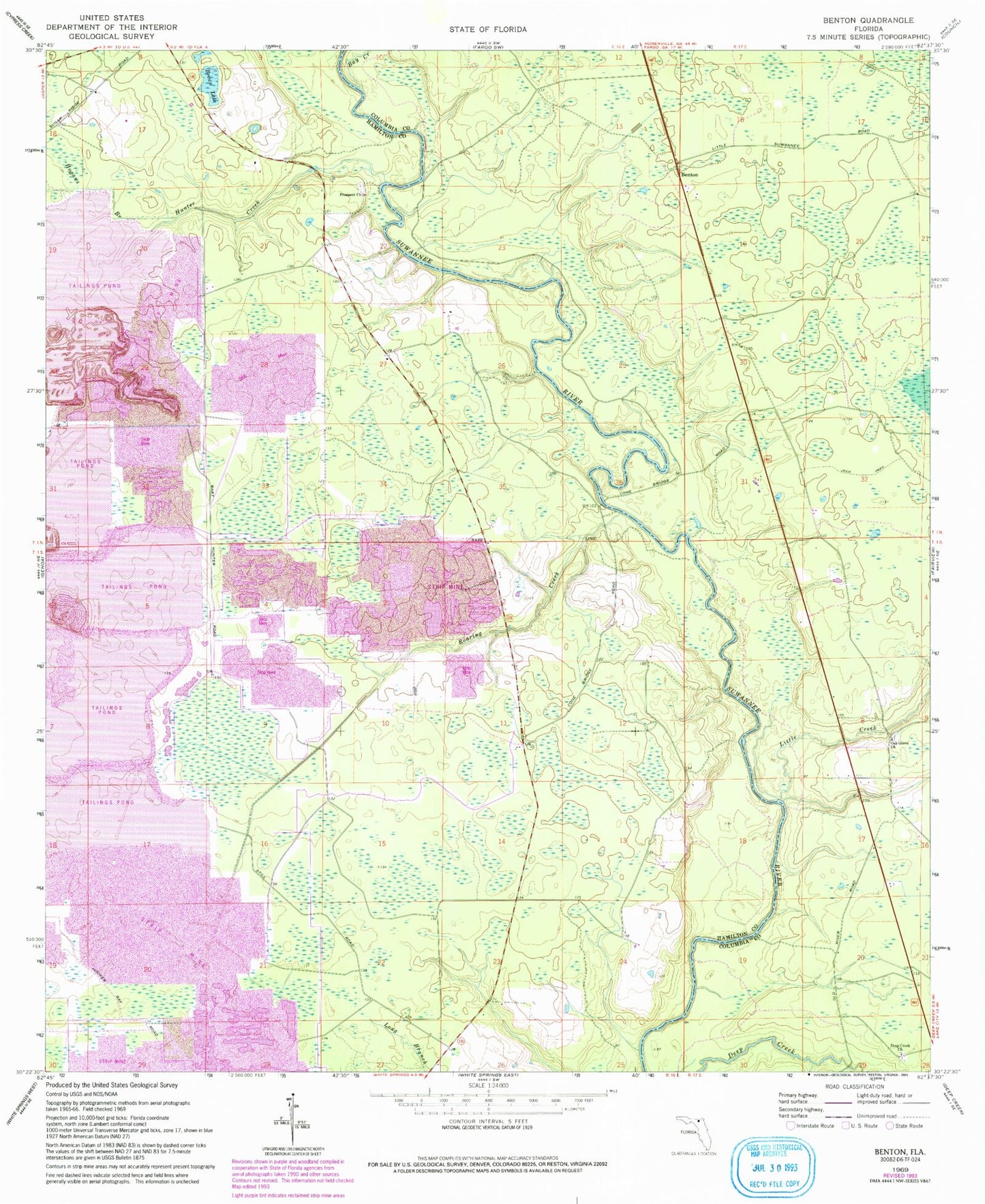
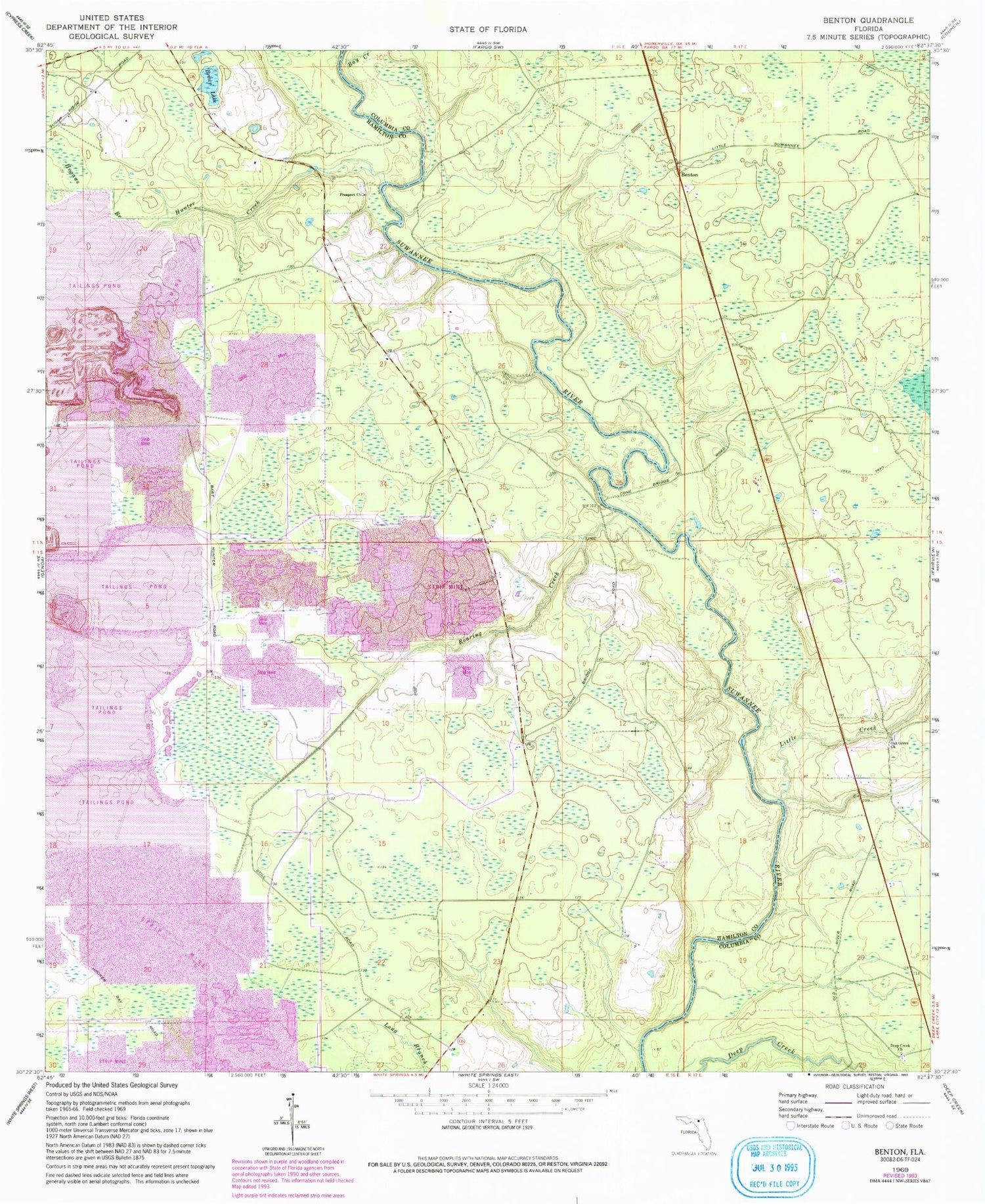
Historical USGS topographic quad map of Benton in the state of Florida. Map scale is 1:24000. Print size is approximately 24" x 27"
This quadrangle is in the following counties: Columbia, Hamilton.
The map contains contour lines, roads, rivers, towns, and lakes. Printed on high-quality waterproof paper with UV fade-resistant inks, and shipped rolled.
Contains the following named places: Bay Creek, Benton, Benton Tower, Brown Lake, Deep Creek Adventist Church, Hogans Branch, Hooker Bay, Hunter Creek, Little Creek, Oak Grove Church, Prospect Church, Roaring Creek, White Springs Division