MyTopo
Classic USGS Bienville Louisiana 7.5'x7.5' Topo Map
Couldn't load pickup availability
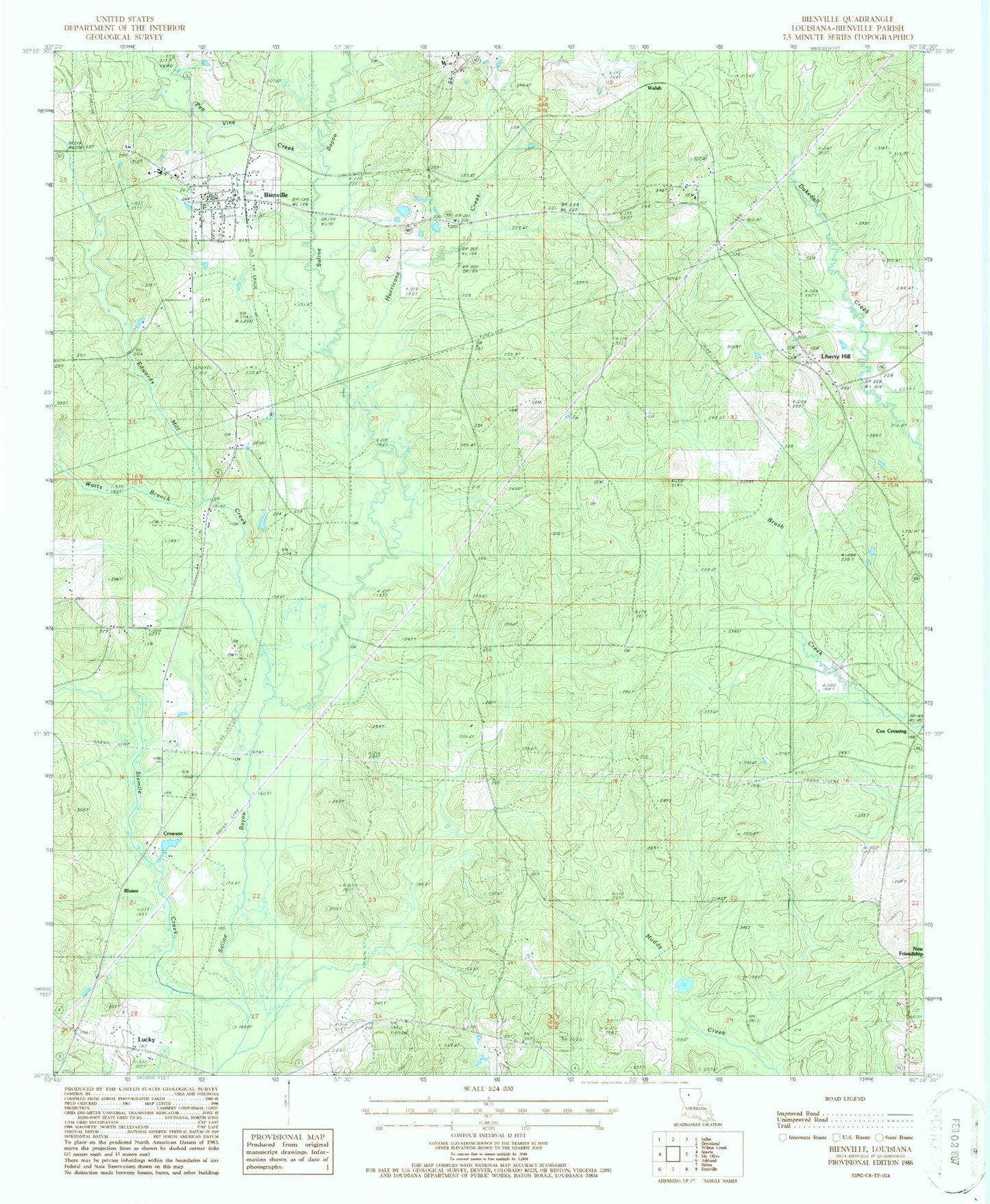
Historical USGS topographic quad map of Bienville in the state of Louisiana. Map scale may vary for some years, but is generally around 1:24,000. Print size is approximately 24" x 27"
This quadrangle is in the following counties: Bienville.
The map contains contour lines, roads, rivers, towns, and lakes. Printed on high-quality waterproof paper with UV fade-resistant inks, and shipped rolled.
Contains the following named places: Bienville, Bienville Educational Center School, Bienville Parish Fire Protection Ward 7 Station 4 Lucky, Bienville Parish Fire Protection Ward 7 Station 8 Liberty Hill, Bienville School, Blume, Continental Lake Dam, Cox Crossing, Crowson, Edwards Mill Creek, Elijah Church, Hurricane Creek, Liberty Hill, Liberty Hill Cemetery, Liberty Hill Gas Field, Liberty Hill Missionary Baptist Church, Lucky, Mount Villa Church, New Raspberry Cemetery, Old Liberty Hill Cemetery, Parish Governing Authority District 7, Pea Vine Creek, Price School, Sixmile Creek, Taylor Cemetery, Village of Bienville, Village of Lucky, Walsh, Watts Branch, ZIP Code: 71008