MyTopo
Classic USGS Black Mountain Maine 7.5'x7.5' Topo Map
Couldn't load pickup availability
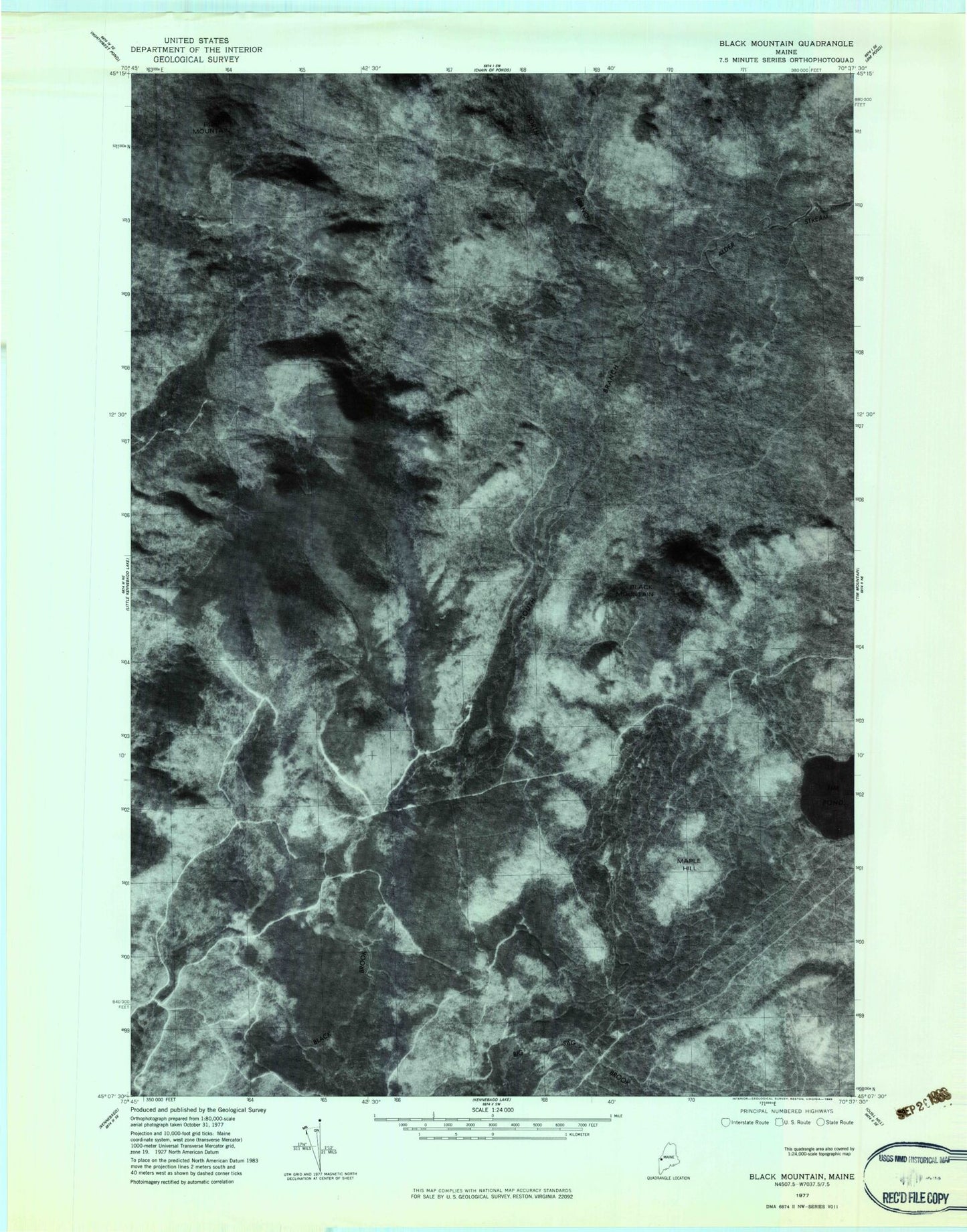
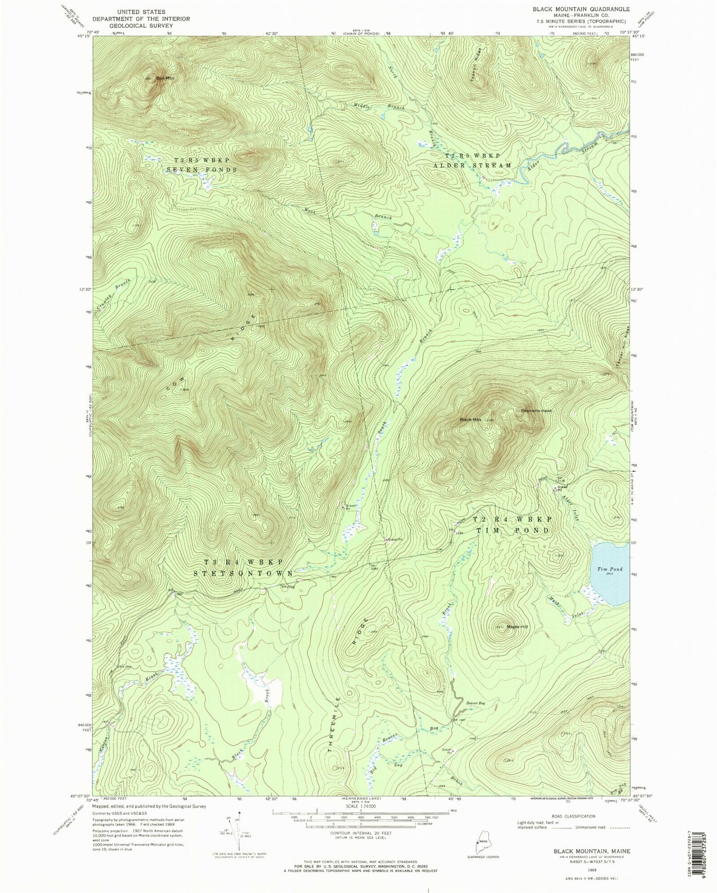
Historical USGS topographic quad map of Black Mountain in the state of Maine. Map scale may vary for some years, but is generally around 1:24,000. Print size is approximately 24" x 27"
This quadrangle is in the following counties: Franklin.
The map contains contour lines, roads, rivers, towns, and lakes. Printed on high-quality waterproof paper with UV fade-resistant inks, and shipped rolled.
Contains the following named places: Alder Inlet, Beaver Bog, Beaver Bog Brook, Big Sag Basin, Black Mountain, Boil Mountain, Camp Number Eleven, Camp Number Ten, Cow Ridge, Elephants Head, Hack Inlet, Maple Hill, Middle Branch Alder Stream, North Branch Alder Stream, Norton Brook Pond, South Branch Alder Stream, Stetsontown Township, Threemile Ridge, Tim Pond, Toenail Ridge, West Branch Alder Stream