MyTopo
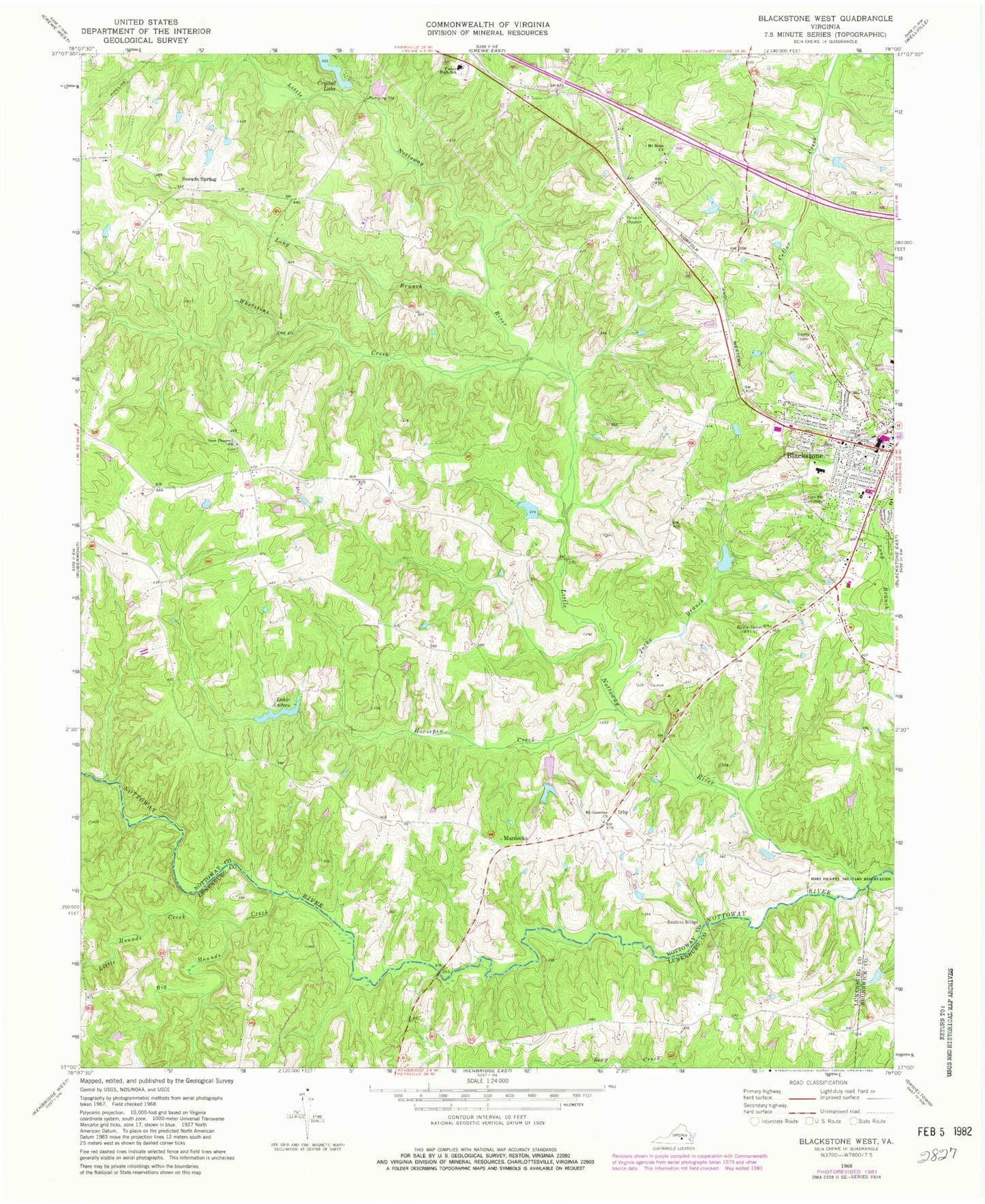
Classic USGS Blackstone West Virginia 7.5'x7.5' Topo Map
Couldn't load pickup availability
Historical USGS topographic quad map of Blackstone West in the state of Virginia. Typical map scale is 1:24,000, but may vary for certain years, if available. Print size: 24" x 27"
This quadrangle is in the following counties: Brunswick, Lunenburg, Nottoway.
The map contains contour lines, roads, rivers, towns, and lakes. Printed on high-quality waterproof paper with UV fade-resistant inks, and shipped rolled.
Contains the following named places: Big Hounds Creek, Dobbins Bridge, Foster High School, Horsepen Creek, Jacks Branch, Lakeview Cemetery, Little Hounds Creek, Little Nottoway River, Long Branch, Mount Gazerine Church, Mount Nebo Church, New Prospect Church, Whetstone Creek, Epes Dam, Crystal Dam, Williams Dam, Williams Lake, Walkers Dam, Hurts Dam, Gravatts Dam, Horners Dam, Saint Phillips Church (historical), Irby, Murdocks, Sneads Spring, Blackstone College for Girls (historical), Blackstone Historic District, Blackstone Military Academy (historical), Blackstone Presbyterian Church, Crenshaw United Methodist Church, Mount Nebo School (historical), Prospect School (historical), Saint Lukes Episcopal Church, Seventh Day Adventist Church, Shiloh Baptist Church, Sneads Spring, Southside Convalescent Home, Lake Amtoco, WBBC-AM (Blackstone), WBBC-FM (Blackstone), Nottoway County Emergency Squad Substation, Blackstone Volunteer Fire Department, Nottoway County Emergency Squad Substation, Town of Blackstone, Nottoway High School, Nottoway Middle School, Nottoway Intermediate School