MyTopo
Classic USGS Bluff City Arkansas 7.5'x7.5' Topo Map
Couldn't load pickup availability
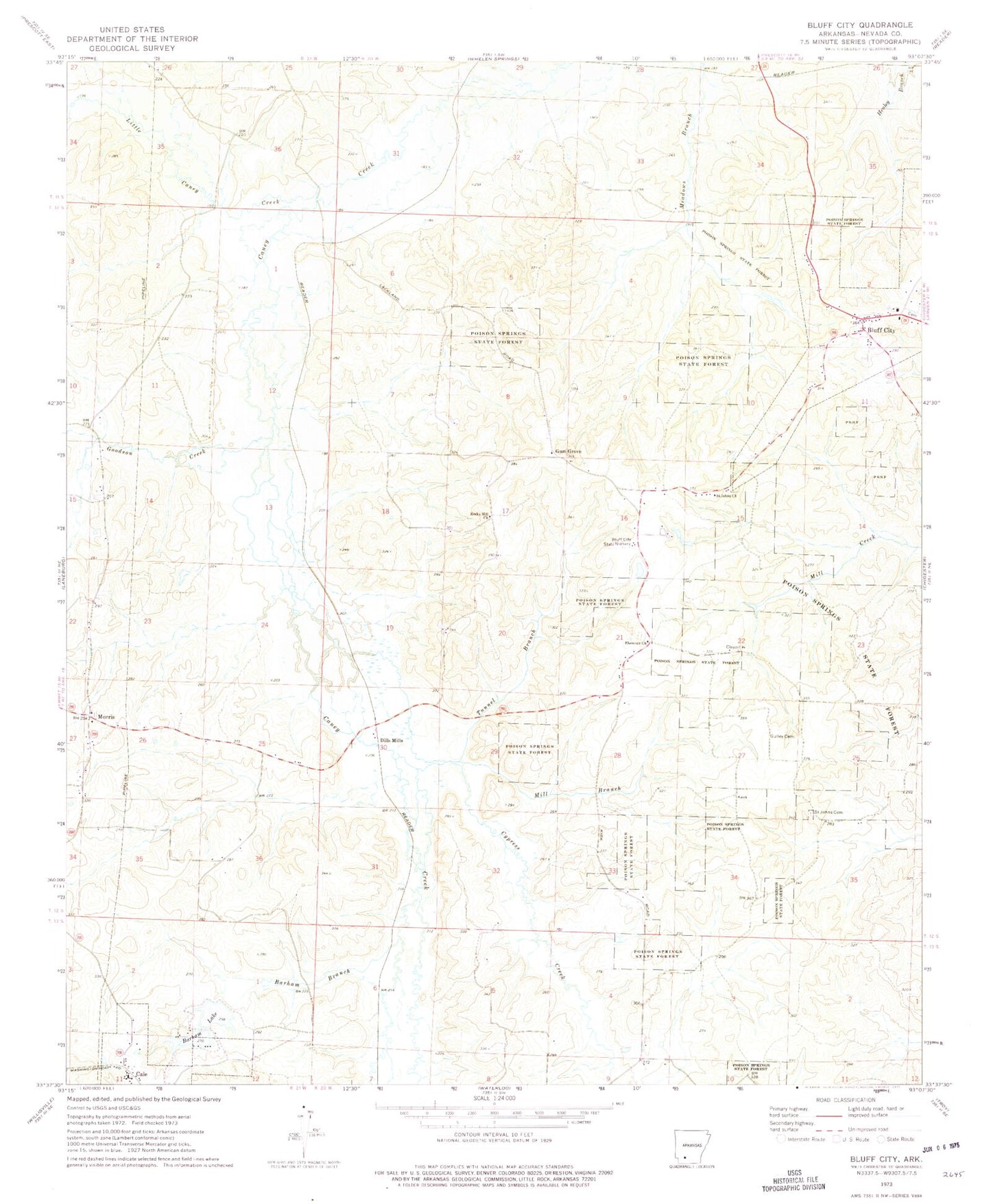
Historical USGS topographic quad map of Bluff City in the state of Arkansas. Map scale may vary for some years, but is generally around 1:24,000. Print size is approximately 24" x 27"
This quadrangle is in the following counties: Nevada.
The map contains contour lines, roads, rivers, towns, and lakes. Printed on high-quality waterproof paper with UV fade-resistant inks, and shipped rolled.
Contains the following named places: Arkansas Noname 68 Dam, Arkansas Noname 68 Reservoir, Barham Branch, Barham Lake Number 1, Barham Lake Number One Dam, Barham Lake Number Two, Barham Lake Number Two Dam, Bluff City, Bluff City Cemetery, Bluff City Post Office, Bluff City State Nursery, Bluff City Volunteer Fire Department, Cale, Cale Fire Department, Cale Post Office, Caney Cemetery, Caney Creek School, County Line School, Cypress Creek, Dills Mills, Ebenezer Cemetery, Ebenezer Church, Foss, Goodson Creek, Gulley Cemetery, Gum Grove, Gum Grove School, Hildebrand Cemetery, Kirks Chapel, Lackland, Lackland Springs Church, Little Caney Creek, Mill Branch, Morris, Possum Trot School, Rocky Hill Church, Saint Johns Cemetery, Saint Johns Church, Steed Cemetery, Town of Bluff City, Town of Cale, Township of Union, Tunnel Branch, Zama, ZIP Code: 71722