MyTopo
Classic USGS Boswells Tavern Virginia 7.5'x7.5' Topo Map
Couldn't load pickup availability
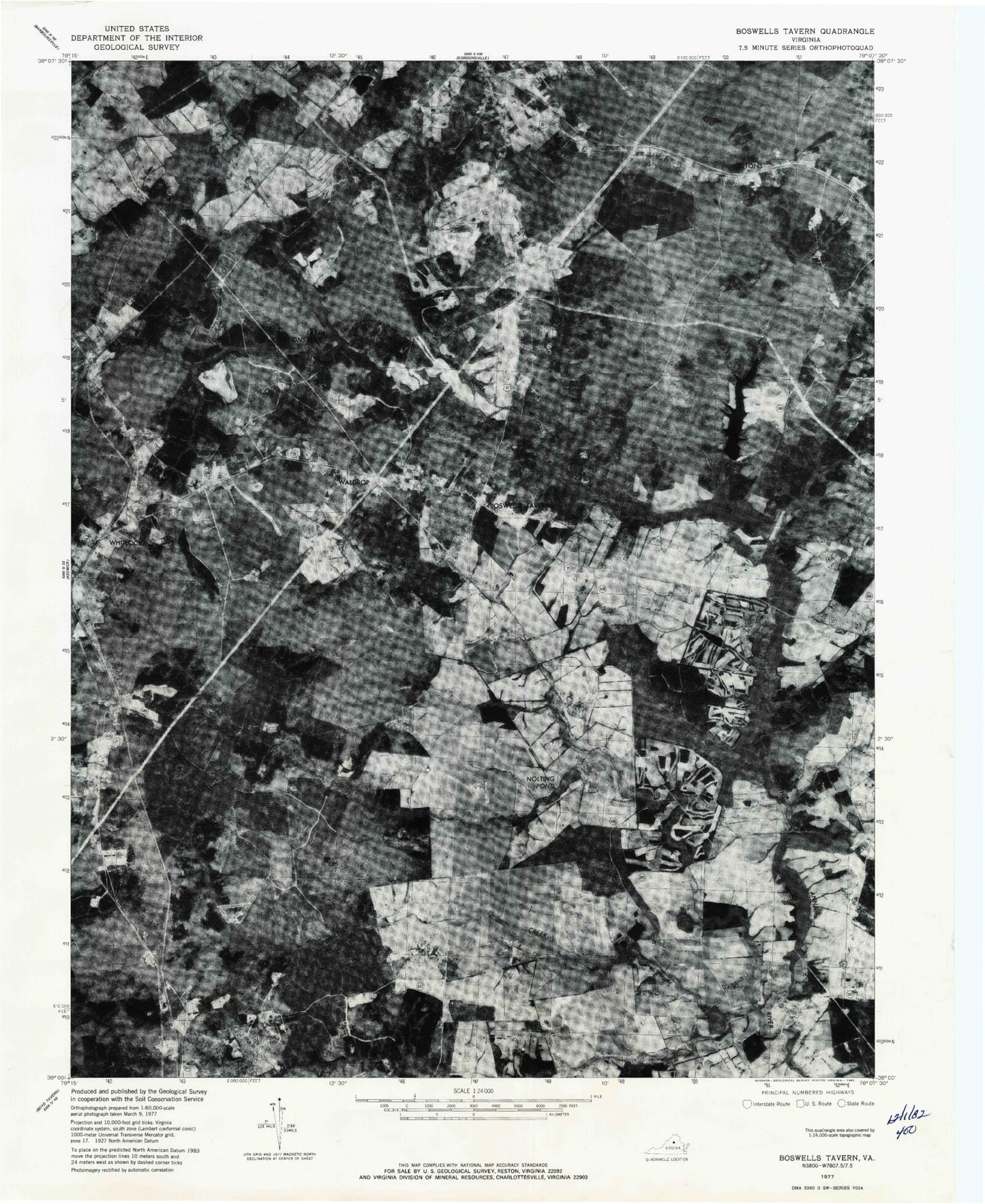
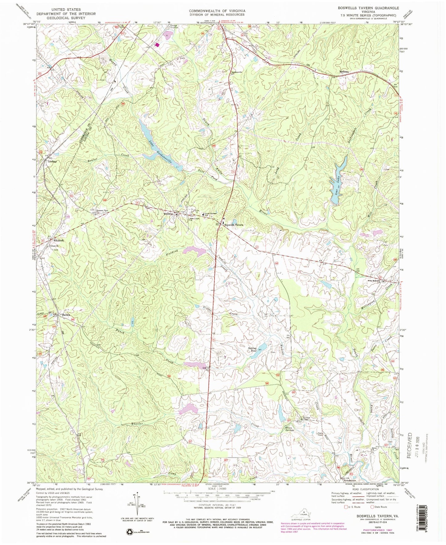
Historical USGS topographic quad map of Boswells Tavern in the state of Virginia. Map scale may vary for some years, but is generally around 1:24,000. Print size is approximately 24" x 27"
This quadrangle is in the following counties: Albemarle, Louisa.
The map contains contour lines, roads, rivers, towns, and lakes. Printed on high-quality waterproof paper with UV fade-resistant inks, and shipped rolled.
Contains the following named places: Bartonville Dam, Bartonville Pond, Berea Church, Blakes Mill, Boswells Tavern, Bowler Creek, Bunch Creek, Camp Creek, Central Branch, Cobham Church, Dove Fork, Free Union Church, Givies Creek, Gordonsville Church, Green Spring District, Green Springs, Green Springs School, Happy Creek, Hawkwood Dam, Hawkwood Lake, Hudson Creek, Huon West Mill, Izac Dam, Izac Lake, Lake Gordonsville, Lake Gordonsville Dam, Lasley Creek, Lickinghole Creek, Lindsay, Logan, Long Creek, Louisa Dragway, Mechanicsville, Mechanicsville Post Office, Medlock, Meltons, Meltons Post Office, Mill Creek, Millington Creek, Nininger Dam, Nininger Lake, Nolting Dam, Nolting Pond, Pleasant Plain Church, Poindexter, Poindexter Post Office, Poore Creek, Purcell Dam, Purcell Lake, Saint Johns Chapel, South Anna Number Five Dam, South Anna Number Seven Dam, Spring Branch, Thelma, Waldrop, Waldrop Post Office, Walkers Mill, Watson Cemetery, Wheeler Creek, Whitlock, Wills Memorial Church, ZIP Code: 22942