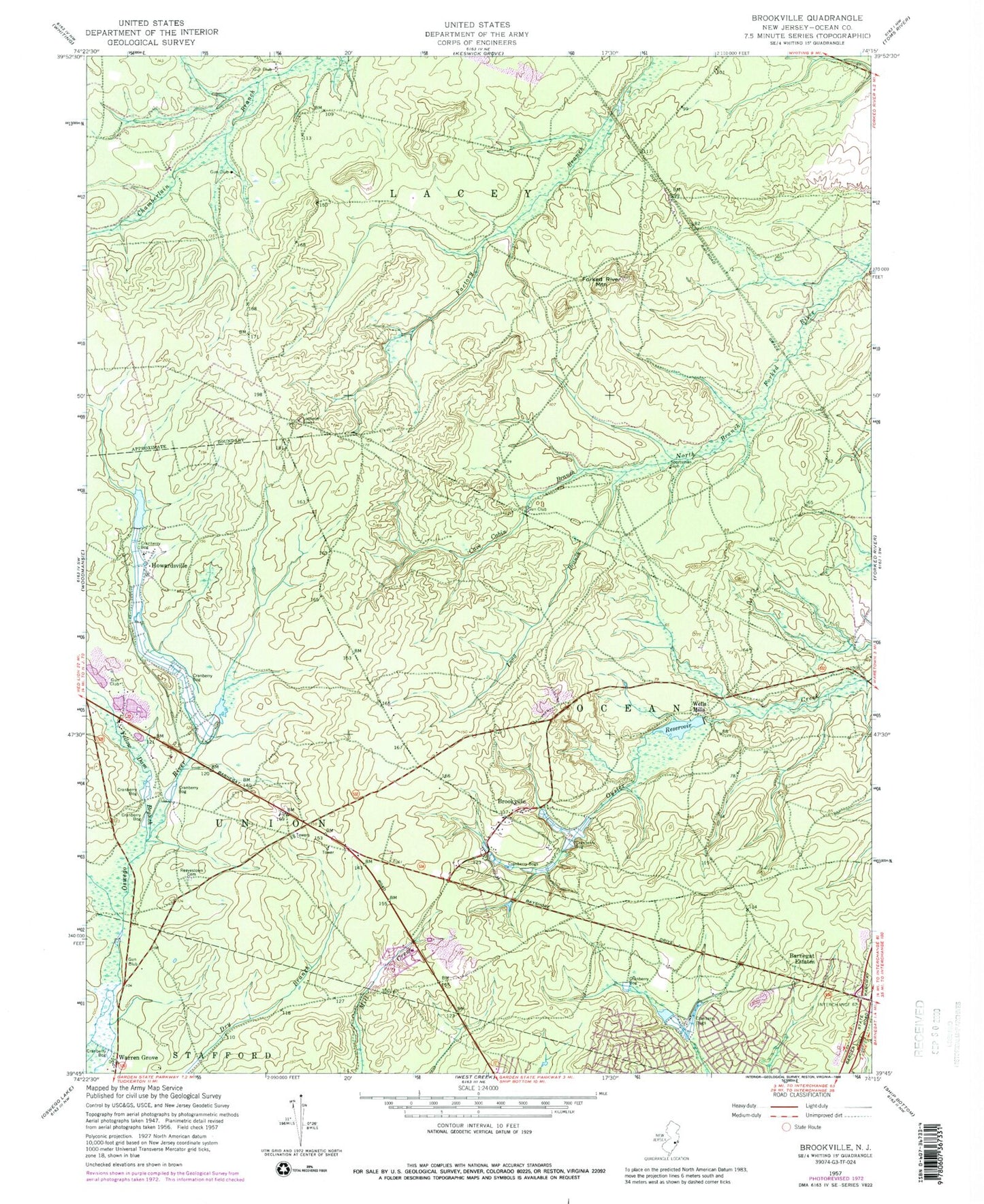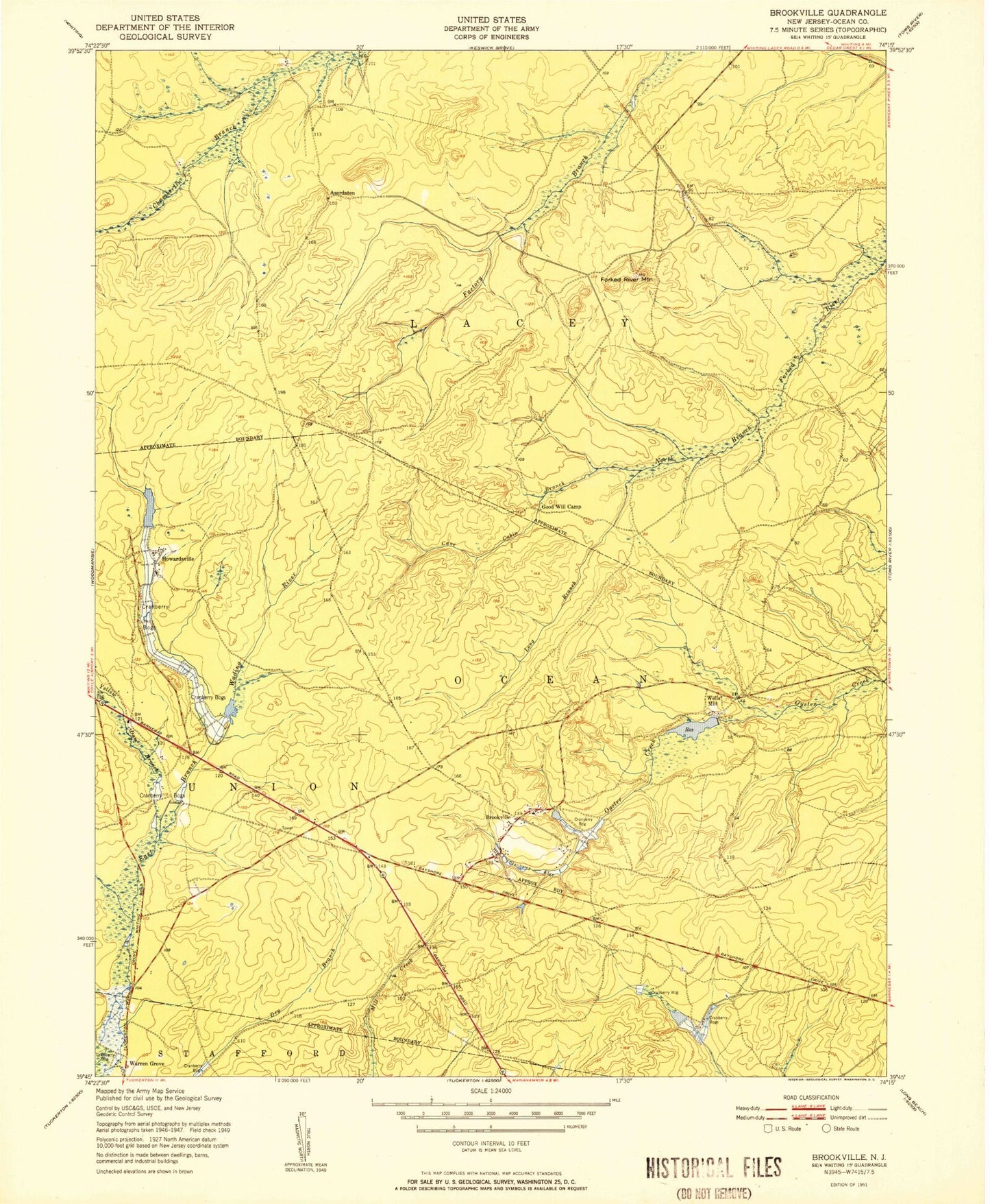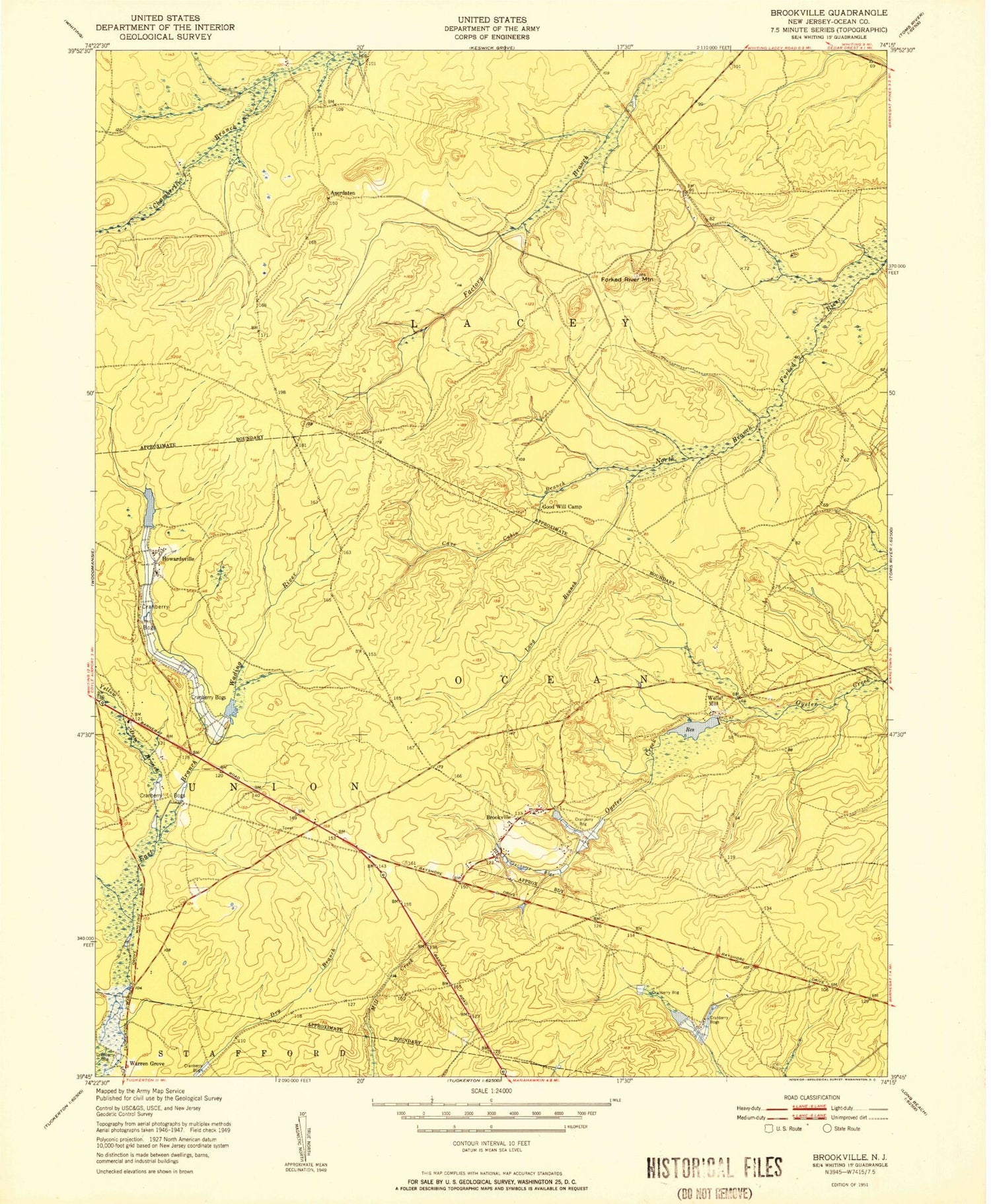
MyTopo
Classic USGS Brookville New Jersey 7.5'x7.5' Topo Map
Couldn't load pickup availability
Historical USGS topographic quad map of Brookville in the state of New Jersey. Typical map scale is 1:24,000, but may vary for certain years, if available. Print size: 24" x 27"
This quadrangle is in the following counties: Ocean.
The map contains contour lines, roads, rivers, towns, and lakes. Printed on high-quality waterproof paper with UV fade-resistant inks, and shipped rolled.
Contains the following named places: Barnegat Estates, Brookville, Cave Cabin Branch, Forked River Mountain, Howardsville, Long Branch, Reevestown Cemetery, Wells Mills, Yellow Dam Branch, Township of Barnegat, Township of Lacey, Wells Mills Reservoir, Aserdaten (historical), Lacey, Mill Pond, Mill Dam, Wells Mills Reservoir Dam, WQNJ-FM (Ocean Acres), Brighton at Barnegat Mobile Home Park, Pinewood Estates Mobile Home Park, Bonds Half-Way House, Hi-Way Lodge, Good Will Camp, Rainbow Gun Club, Wells Mills County Park, Barnegat Volunteer Fire Company 1 Station 11 - 2