MyTopo
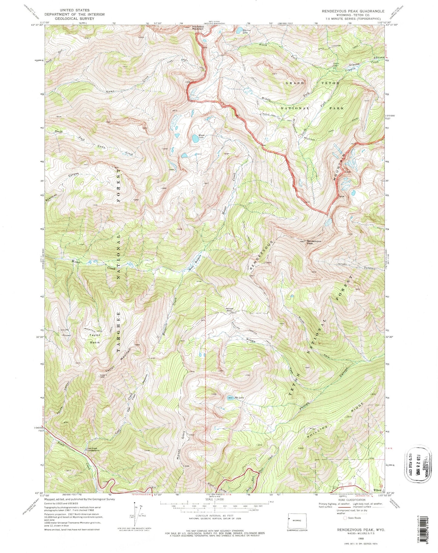
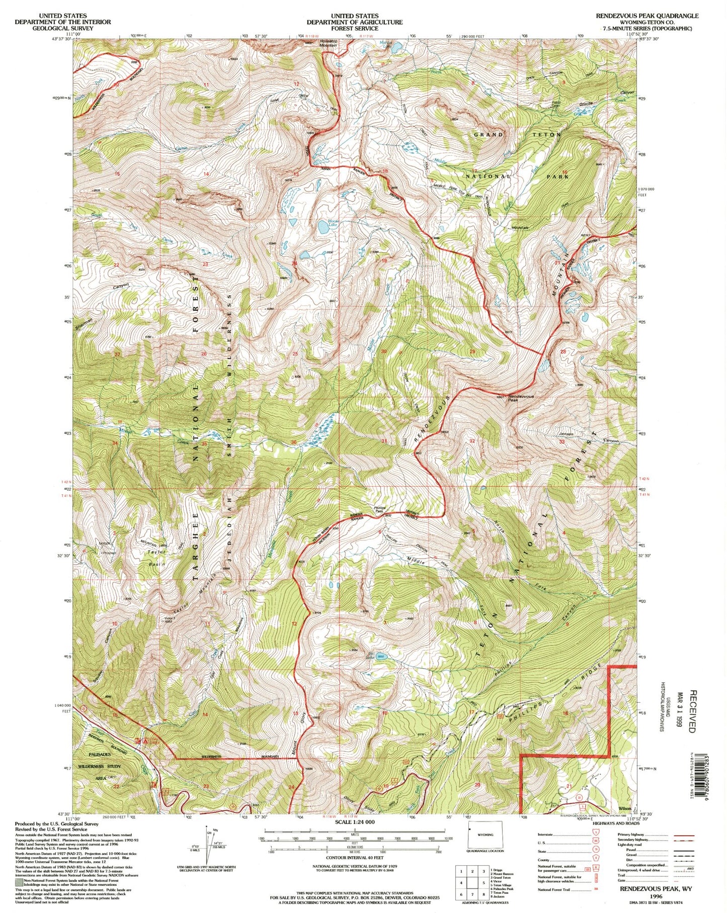
USGS Classic Rendezvous Peak Wyoming 7.5'x7.5' Topo Map
Couldn't load pickup availability
Historical USGS topographic quad map of Rendezvous Peak in the state of Wyoming. Scale: 1:24000. Print size: 24" x 27"
This quadrangle is in the following counties: Teton.
The map contains contour lines, roads, rivers, towns, lakes, and grids including latitude / longitude and UTM / MGRS. Printed on high-quality waterproof paper with UV fade-resistant inks.
Contains the following named places: Coal Creek, Coal Creek Campground, Coal Creek Meadows, Game Creek Trail, Mount Glory, Housetop Mountain, Mail Cabin Creek, Marion Lake, Mesquite Creek, Middle Fork Cut Off Trail, Middle Fork Granite Creek, Middle Fork Phillips Canyon, Moose Lake, Moose Meadows, North Fork Granite Creek, North Fork Phillips Canyon, Phillips Canyon Trail, Phillips Pass, Phillips Ridge, Rendezvous Mountain, Rendezvous Mountain Trail, Rendezvous Peak, Ski Lake, South Fork Granite Creek, Taylor Basin, Taylor Mountain, Taylor Mountain Trail, Teton Crest Trail, Wilson, Tucker Pit Mine, Wilson School