
MyTopo
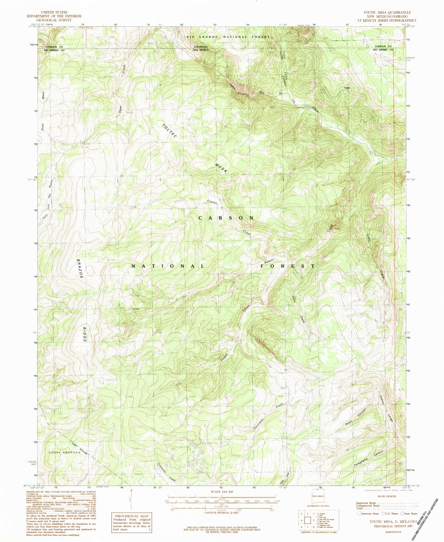
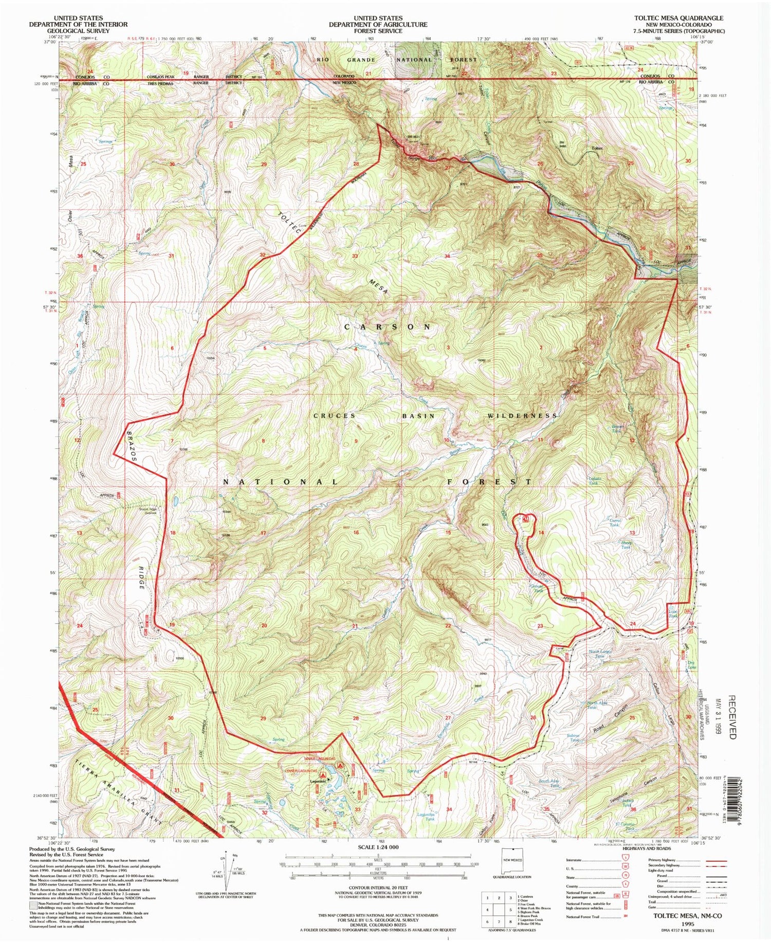
USGS Classic Toltec Mesa New Mexico 7.5'x7.5' Topo Map
Couldn't load pickup availability
Historical USGS topographic quad map of Toltec Mesain the states of New Mexico, Colorado. Scale: 1:24000. Print size: 24" x 27"
This quadrangle is in the following counties: Conejos, Rio Arriba.
The map contains contour lines, roads, rivers, towns, lakes, and grids including latitude / longitude and UTM / MGRS. Printed on high-quality waterproof paper with UV fade-resistant inks.
Contains the following named places: Toltec Creek, El Camino Tank, South Alire Tank, Lagunitas Tank, Upper Lagunitas Campground, Lower Lagunitas Campground, North Alire Tank, Sabino Tank, Indian Tank, Lobo Tank, Dry Lake, North Largo Tank, Osha Canyon, Beaver Tank, Lobato Tank, Corral Tank, Sheep Tank, Grouse Tank, Beaver Creek, Cruces Creek, Diablo Creek, East Fork Rio Brazos, Escondido Creek, Lagunitas Guard Station, Nelaganey Ranch, Toltec, Toltec Gorge, West Fork Rio Brazos, Upper Logunitas Campground, Cruces Basin Wilderness, Dry Lake, Toltec Mesa, Road Canyon, Telephone Canyon, Lobo Creek, Brazos Ridge, Brazos Ridge Overlook, Toltec Canyon, Osha Creek, Toltec Creek, Toltec Canyon


