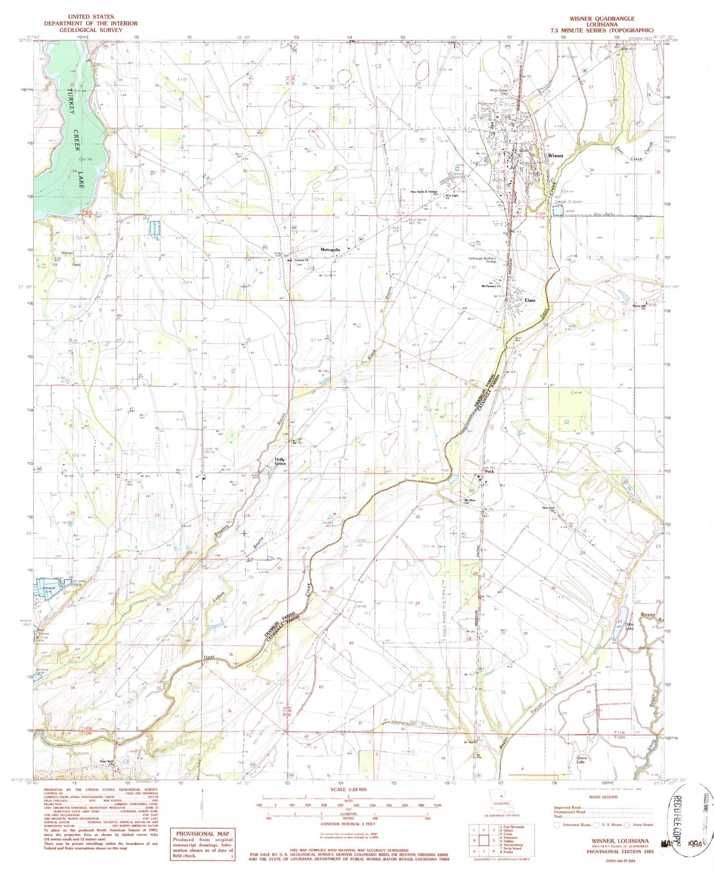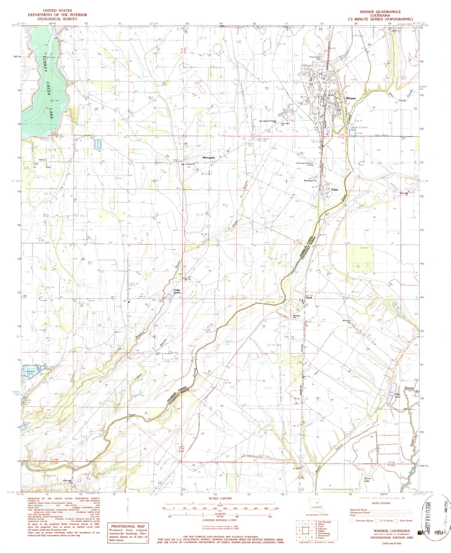
MyTopo
Classic USGS Wisner Louisiana 7.5'x7.5' Topo Map
Couldn't load pickup availability
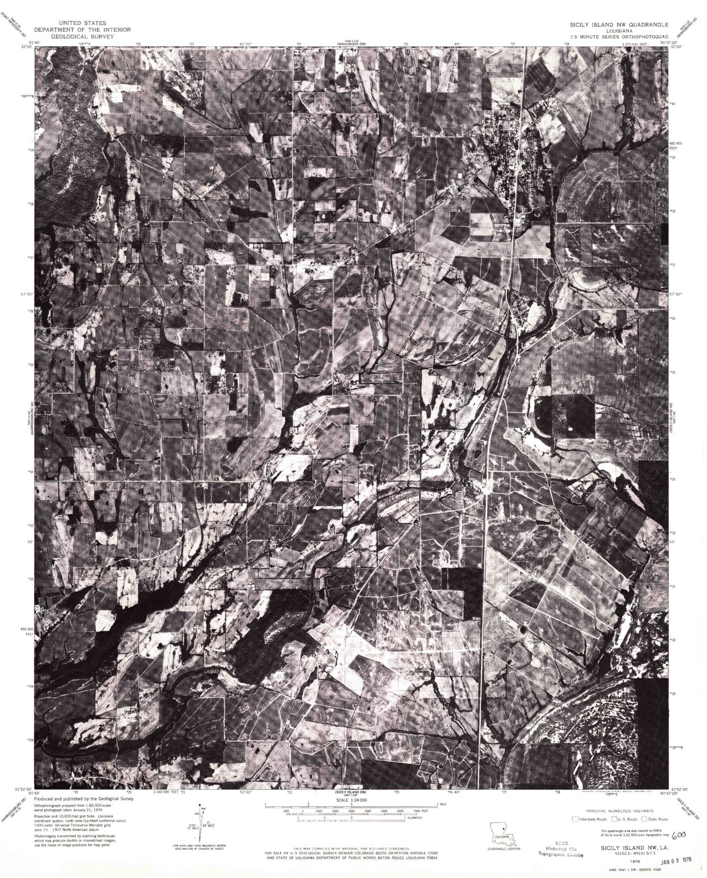
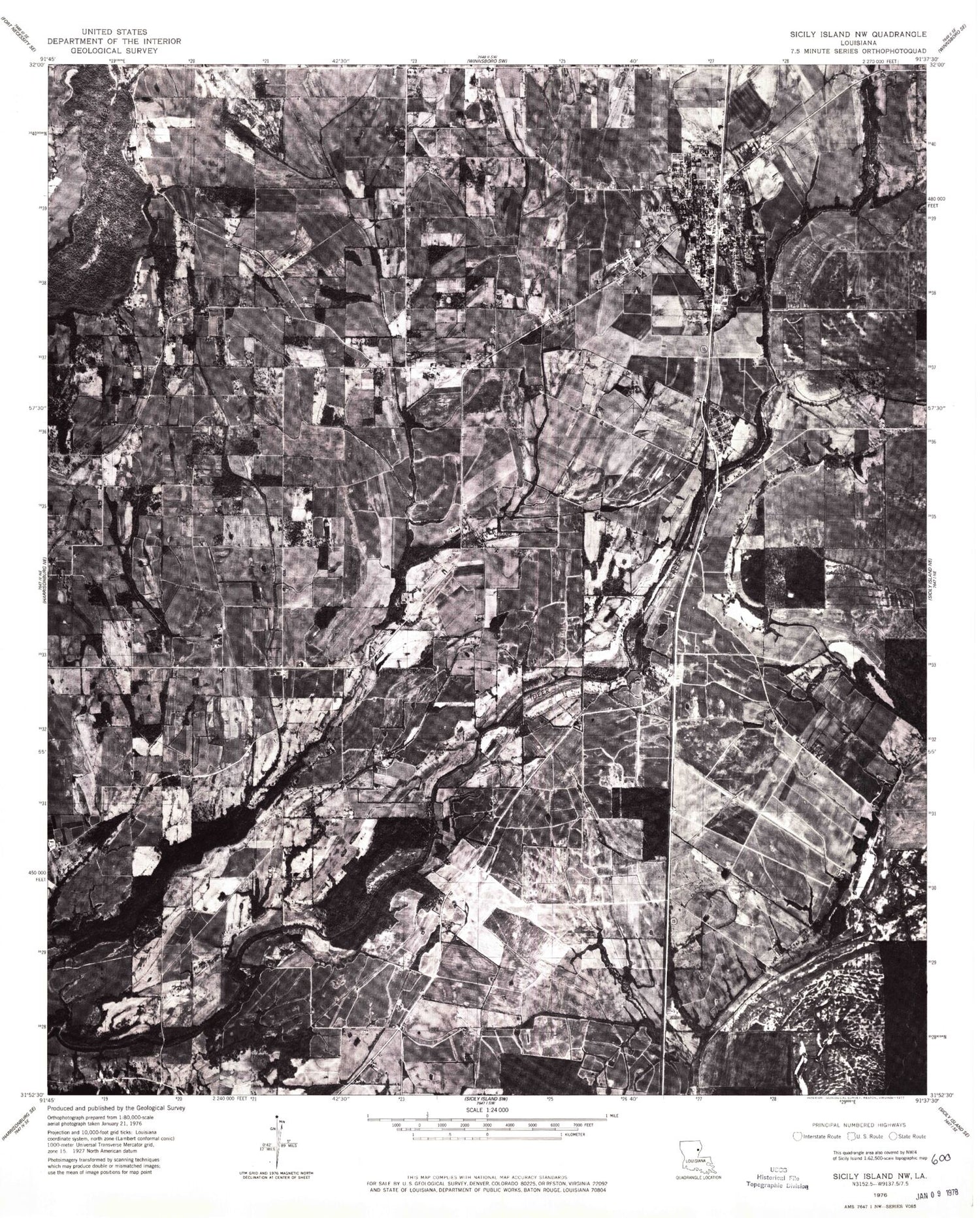
Historical USGS topographic quad map of Wisner in the state of Louisiana. Map scale may vary for some years, but is generally around 1:24,000. Print size is approximately 24" x 27"
This quadrangle is in the following counties: Catahoula, Franklin.
The map contains contour lines, roads, rivers, towns, and lakes. Printed on high-quality waterproof paper with UV fade-resistant inks, and shipped rolled.
Contains the following named places: Assembly of God Church, Black Bayou, Boggy Bayou, Central Cemetery, Central Church, Ditto Lake, Elam, Green Lake, Holly Grove, Hope Estate Cemetery, Hope Well Church, Hope Will Cemetery, Humble Cemetery, Loften Bayou, Metropolis, Mount Olive Church, Natchez Fort, New Alpha and Omega Church, New Light Church, New Zion Cemetery, New Zion Church, Norris Hill Church, North Sicily Island Gas Field, Parish Governing Authority District 7, Peck, Saint Paul Church Number 2, Saint Peter's Church, Sims Lake, Smith Bayou, Town of Wisner, Turkey Creek Lake, Ward One, Willis Lake, Wisner, Wisner Elementary School, Wisner High School, Wisner Oil Field, Wisner Police Department, Wisner Post Office, Wisner Volunteer Fire Department, Yarbrough Brothers Airstrip, ZIP Codes: 71368, 71378