MyTopo
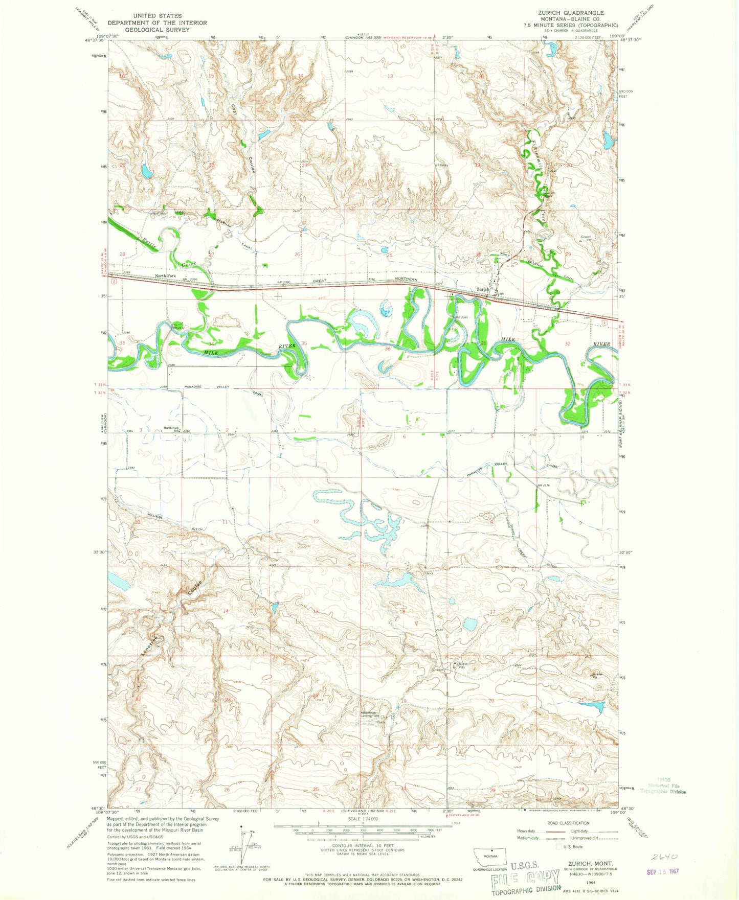
Classic USGS Zurich Montana 7.5'x7.5' Topo Map
Couldn't load pickup availability
Historical USGS topographic quad map of Zurich in the state of Montana. Map scale may vary for some years, but is generally around 1:24,000. Print size is approximately 24" x 27"
This quadrangle is in the following counties: Blaine.
The map contains contour lines, roads, rivers, towns, and lakes. Printed on high-quality waterproof paper with UV fade-resistant inks, and shipped rolled.
Contains the following named places: 33N20E25BCDB01 Well, 33N20E35DCCA01 Well, 33N21E30DC__01 Well, 33N21E31CCAA01 Well, Battle Creek, Blevins Dam, Carson MN-66 Dam, Coal Creek, Dishwater Dam, Dreary Dam, Fifteenmile Creek, Fort Belknap Canal, Hebbelman Airport, Hebbelman School, Hillside Ditch, Lonetree Coulee, Maddox Ranch Co Airport, Milk River Bridge, Miller Reservoir Dam, Ninemile Coulee, North Fork, North Fork School, Paradise Post Office, Paradise Valley Canal, Reservoir Coulee, Santa Maria Dam, Zurich, Zurich Census Designated Place, Zurich Chapel, Zurich Park, Zurich Post Office, Zurich School